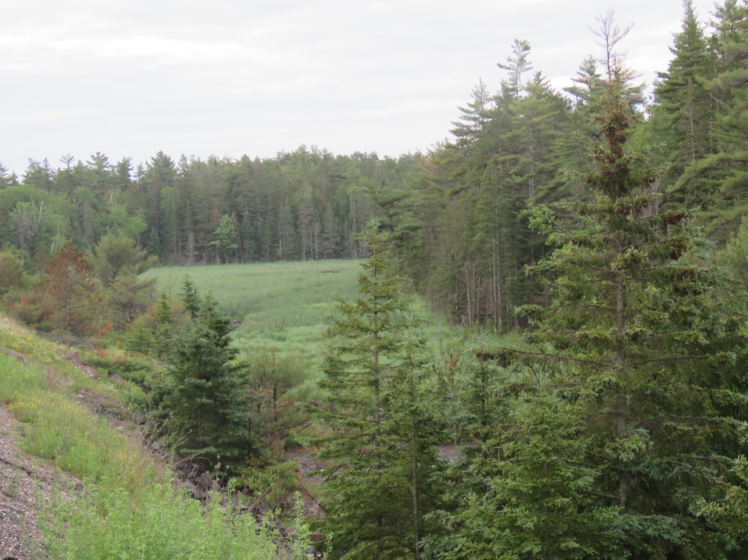
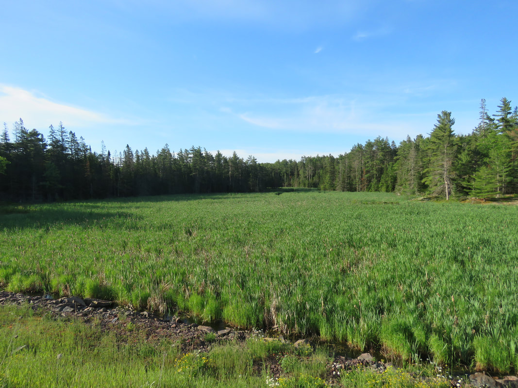
| This week, I returned to the Ripple Rock Preserve to tour the portion of the property on the south side of Highway 17. If you haven't yet read part one, you can do so here! Three straight days of rainy weather this week prevented me from getting out until Thursday to tour the property. In order to beat the afternoon heat and get back for a 10:00am meeting, I arrived on site just before 6:00am. The sun wasn't poking up over the trees yet, so the lighting was still fairly dull. The photo to the right here is the view from Highway 17 looking at the wetland from about the west boundary of the property. |
The forest is very dense on this side of the highway, making navigating much more difficult and tiring. When I would stop to look around for wildlife or interesting plants, the mosquitoes would then be all over me, basically forcing me to keep moving. I knew I wasn't going to last long out there in these conditions! I worked my way the south end of the property to the open-water portion of the wetland.
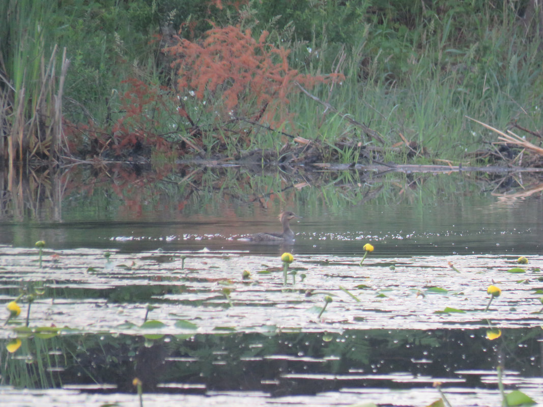
| I spent some time standing at this location, looking to see what wildlife I could find. There were many Red-winged Blackbirds and Common Grackles flying around, a common sight in wetlands around here. A Virginia Rail was calling from the other side of the wetland and various warblers were singing from the forest behind me. A Hooded Merganser flew in out of nowhere and landed in the water, as seen in the photo to the right. See that beaver dam behind it? That's the same beaver dam that a bobcat was seen crossing just a few days ago! You can check out the photo here. I obviously wasn't so lucky. |
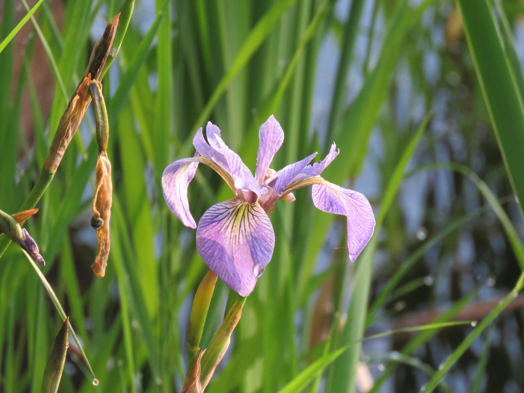
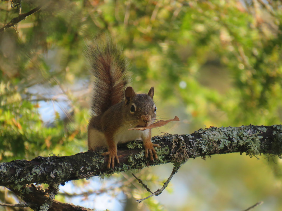
Northern Blue Flag is in bloom right now and there were a couple of them right here as well. A very pretty flower! Then a Red Squirrel came running down a tree and started yelling at me, just like every other time I'm in the middle of nowhere. These forest squirrels aren't as friendly as the ones that come to my bird feeders!
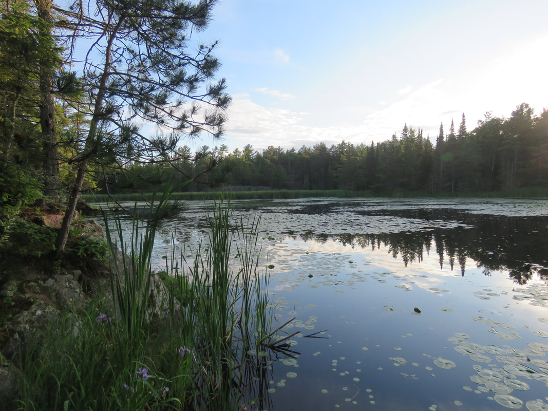
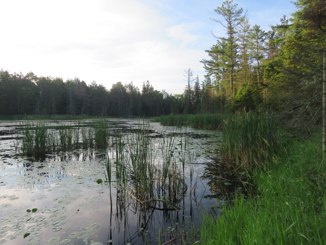
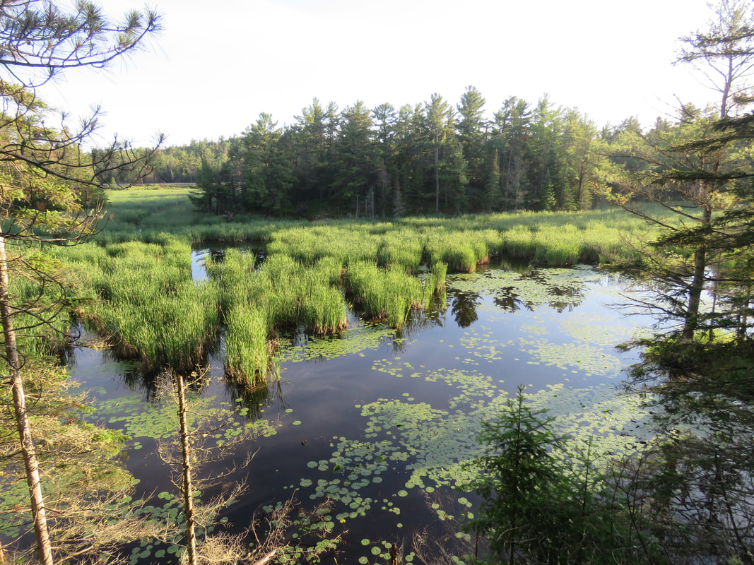
Just up from there, I found a great vantage point of the wetland. You'd never know there's so much open water back here based on what you can see from the highway! This wetland is part of the Kensington Complex, a provincially significant wetland. This means that it has extra protections against development and other activities that could compromise the function of the wetland.
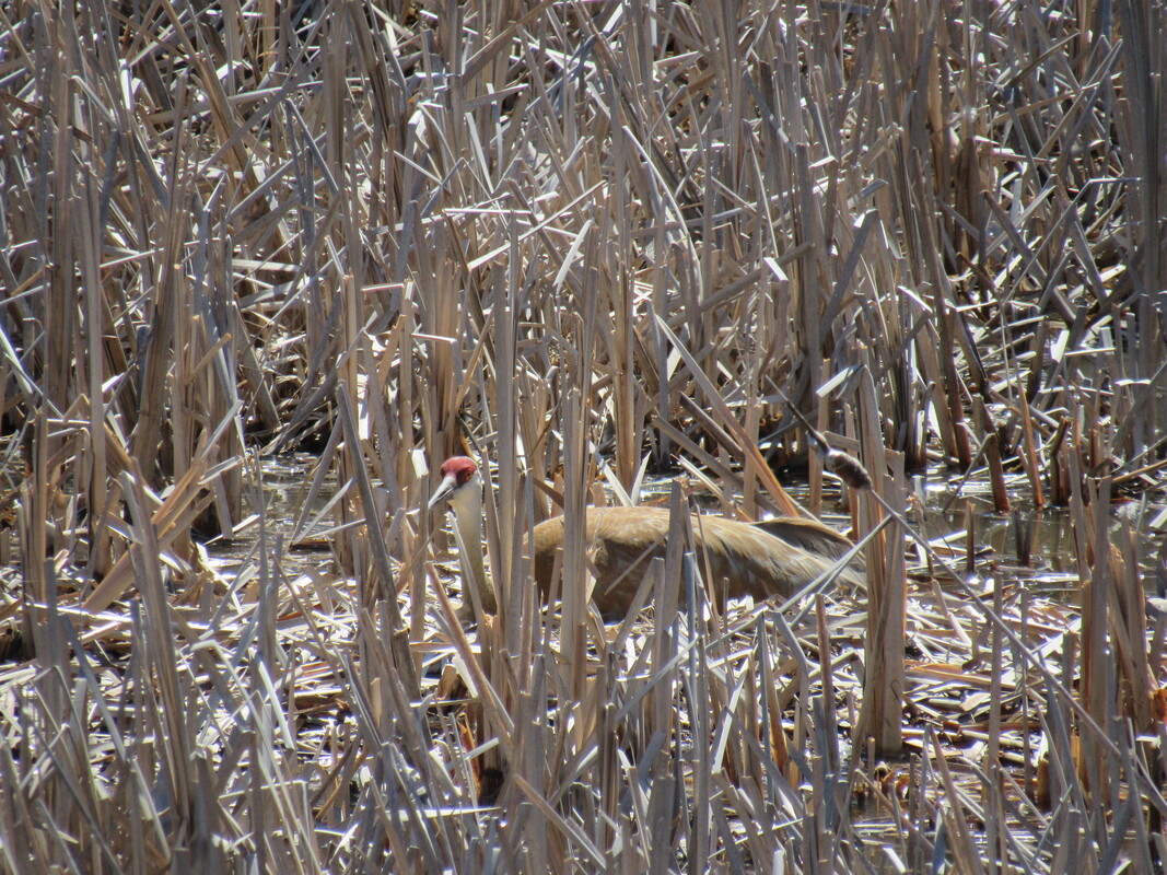
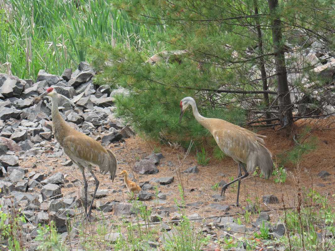
| After returning to the highway, I walked down to get a photo of the wetland from the perspective that I'm sure everyone is familiar with. No open water here, just cattails! In past years, Sandhill Cranes have nested in here. I did not notice them this year, but since I have been working from home, I drove by here significantly less this spring, so maybe I just missed them. In 2016, I was able to capture photos of one of the adults on the nest in late April, then in early June, both adults with their little colt! Sandhill Cranes usually only have one or two offspring each year and they sure are cute when they're this small. |
Thanks once again for reading my virtual tour. The weather forecast looks great next week, so hopefully rain won't delay me again.
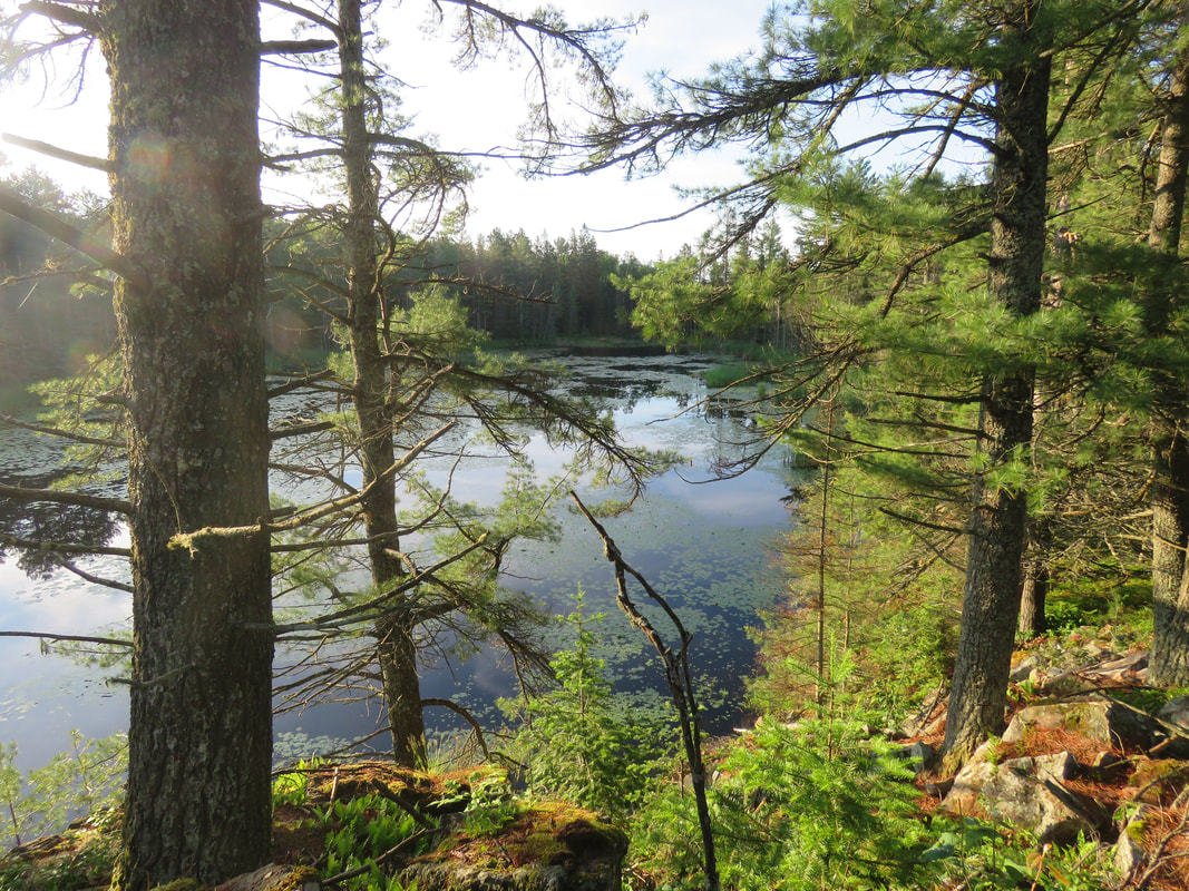
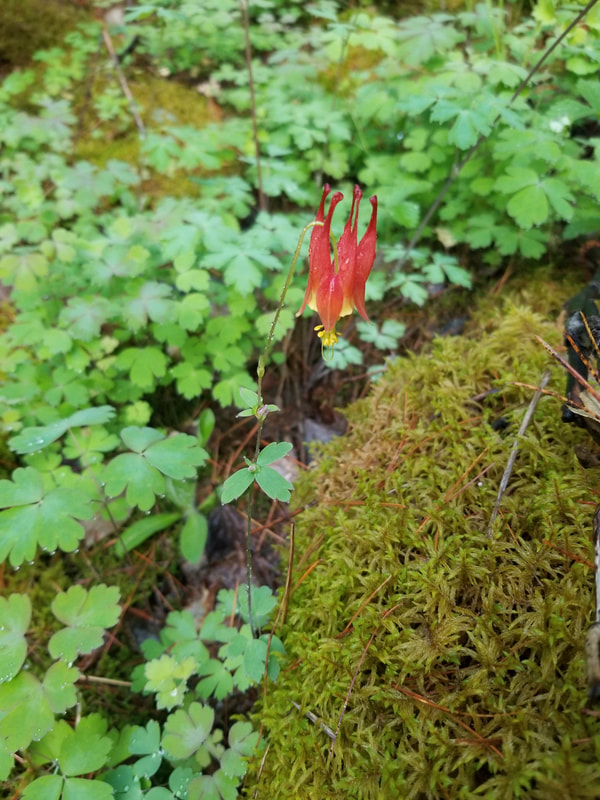
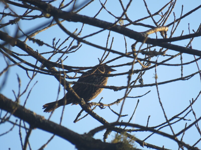
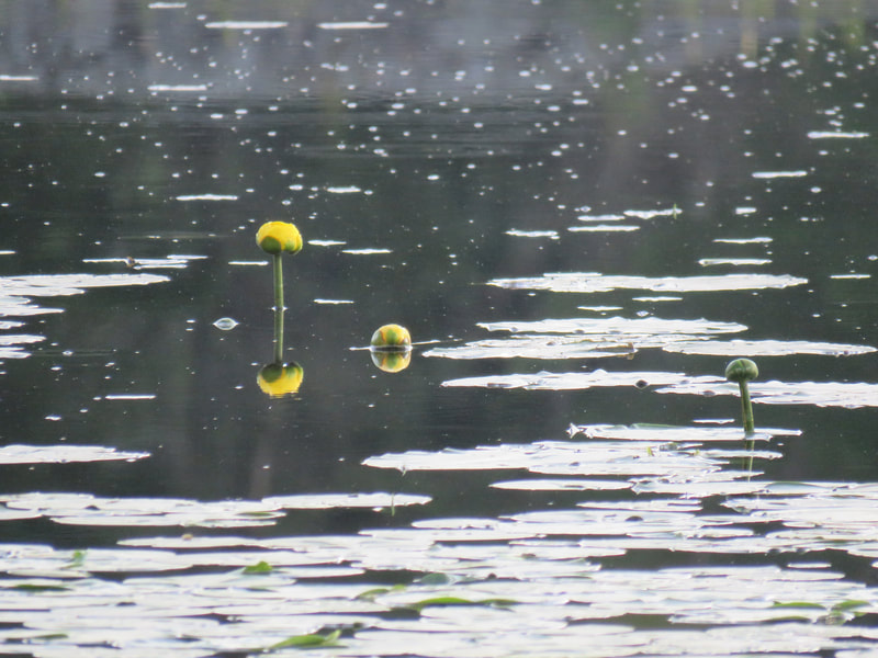
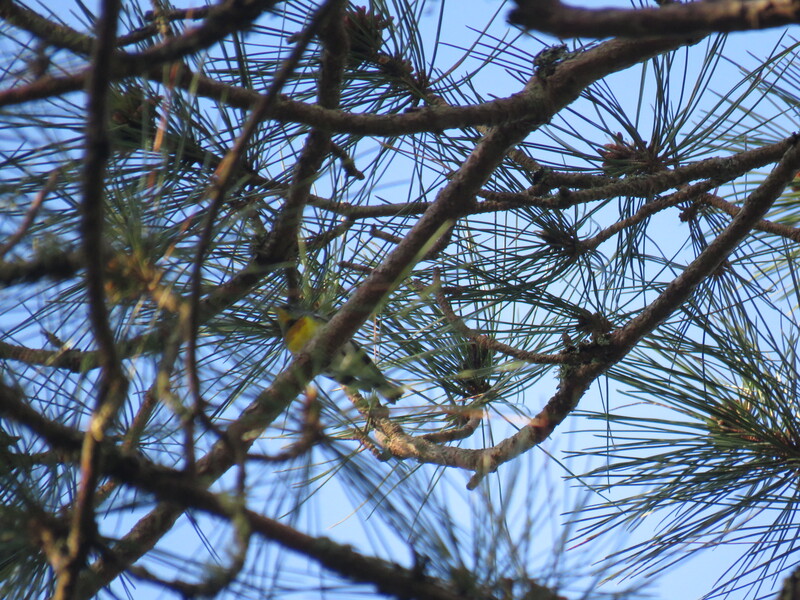
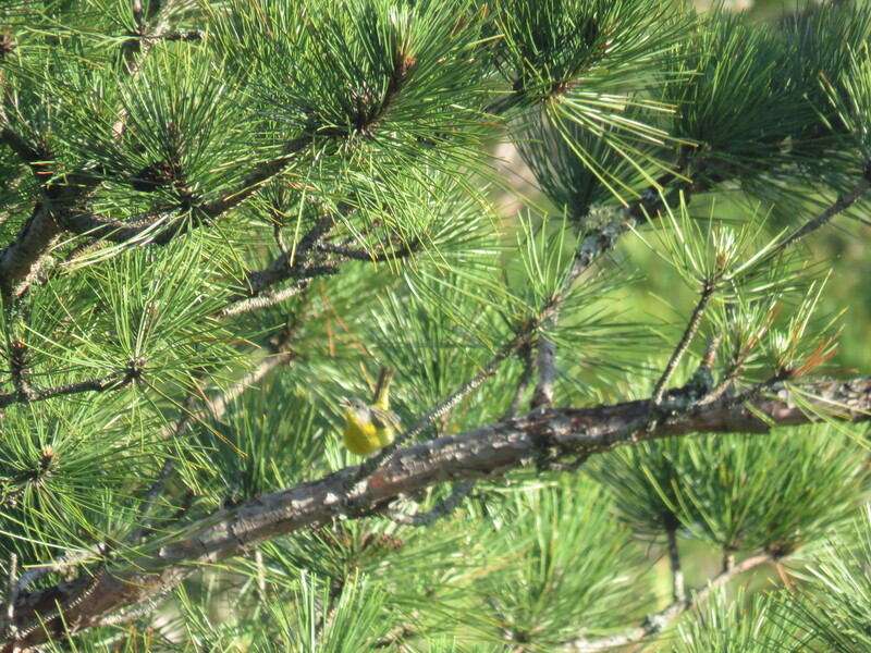
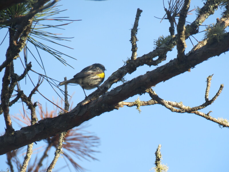
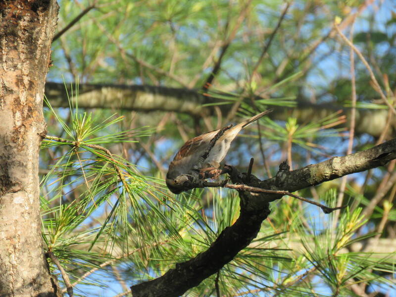
I've added a few more photos from my tour below. The photos certainly aren't my best, but I blame the bugs!
I've added a few more photos from my tour below. The photos certainly aren't my best, but I blame the bugs!


 RSS Feed