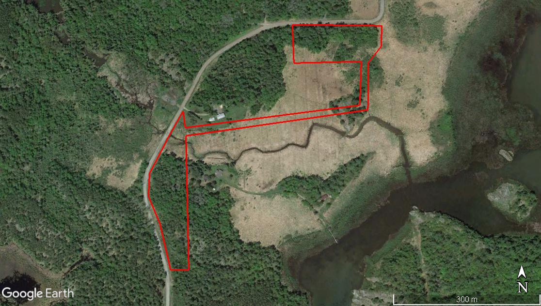
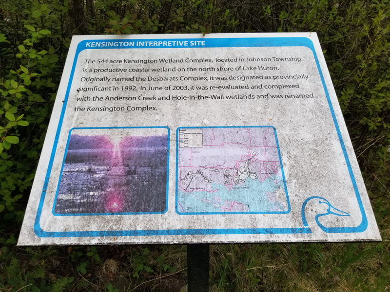
| The Lang Family Preserve is a relatively small property compared to many of the other properties that The Kensington Conservancy protects. It was donated to TKC by the Lang Family in 2015. This uniquely shaped property is 8.7 acres in size, but it helps protect a much larger area than that. The Kensington Complex is a series of wetlands in the Desbarats area that are classified as provincially significant. The shape of the Lang Family Preserve could prevent harmful development in the wetland it limits the accessibility of the portions of the wetland beyond this property. |
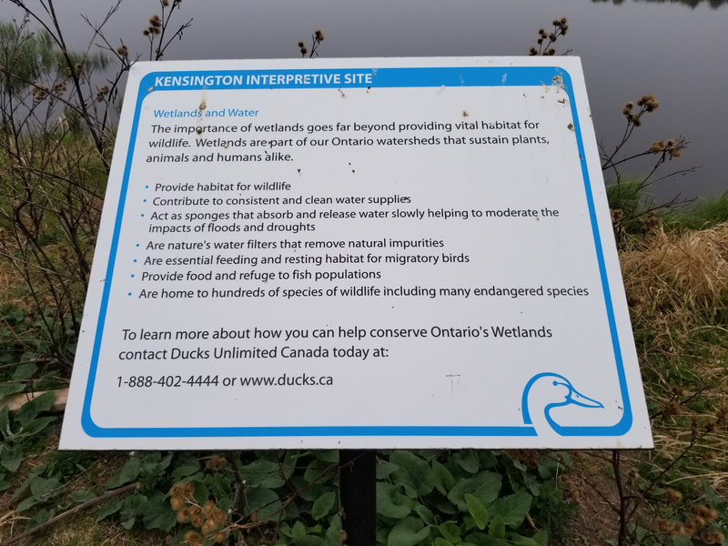
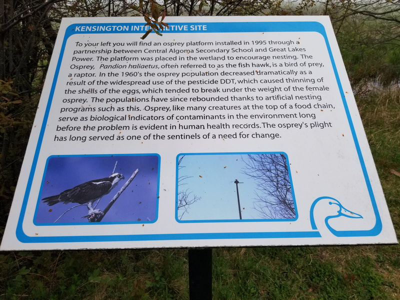
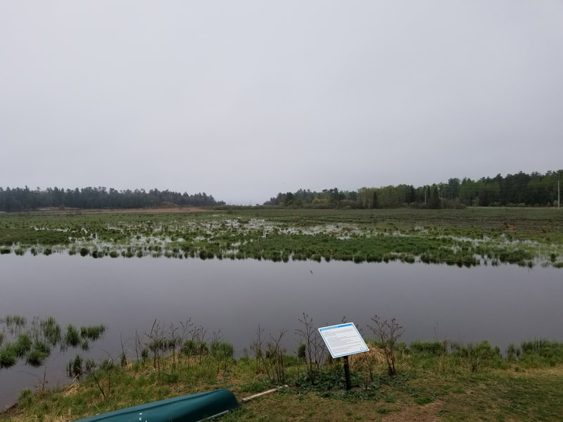
Before actually visiting the Lang Family Preserve, I went to get a good view of the Kensington Complex from the viewing platform at Central Algoma Secondary School. Ducks Unlimited put up some interpretive signs up at the site. Click on each photo below to learn more about the Kensington Complex and why wetlands are important!
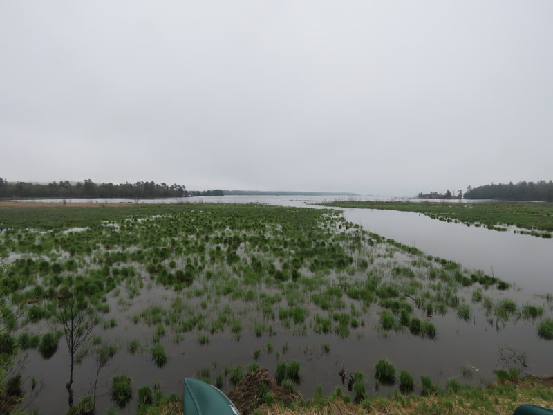
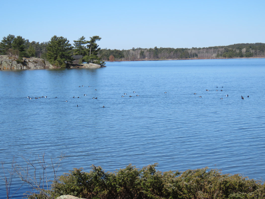
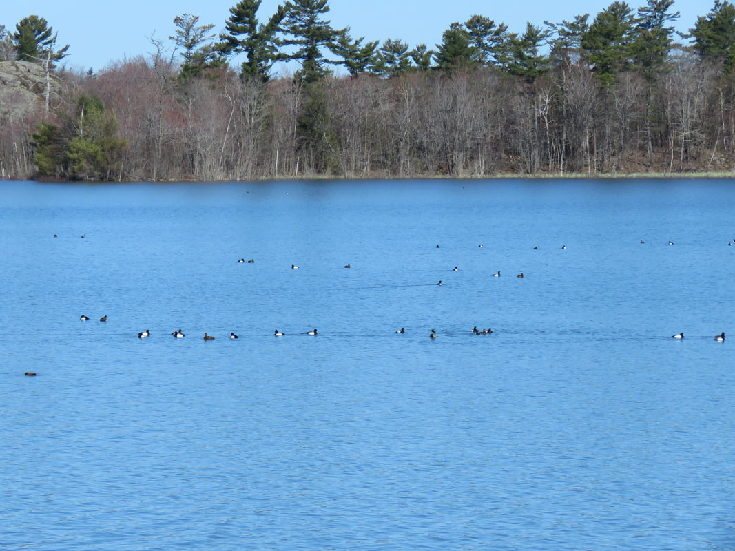
Here is the view from the platform. The Lang Family Preserve is off in the distance of the first photo. The creek that runs through this wetland is known as Sucker Creek. It flows from northwest of Desbarats. It's the same creek as the one you cross over on Government Road just west of Desbarats.
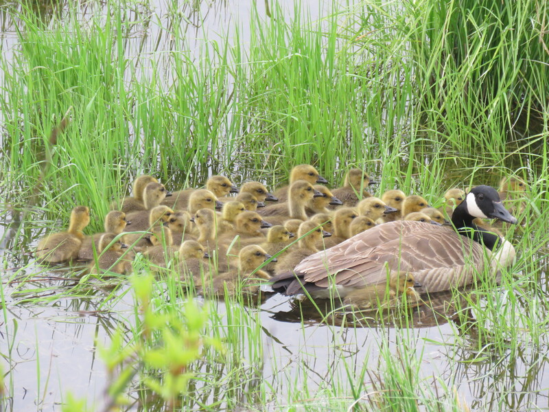
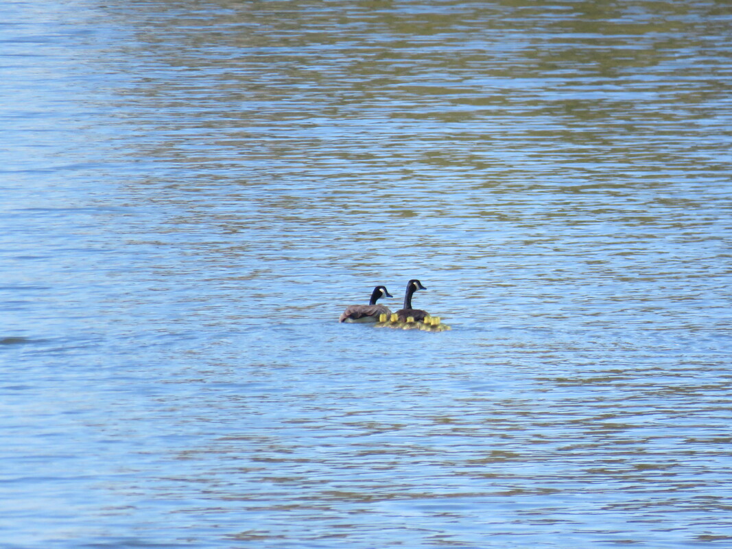
Look how many goslings were together here at the platform! Sometimes, multiple broods will aggregate together, which is what happened here. There were another set of adult Canada Geese nearby in addition to the two who were right with these 30+ goslings.
Look how many goslings were together here at the platform! Sometimes, multiple broods will aggregate together, which is what happened here. There were another set of adult Canada Geese nearby in addition to the two who were right with these 30+ goslings.
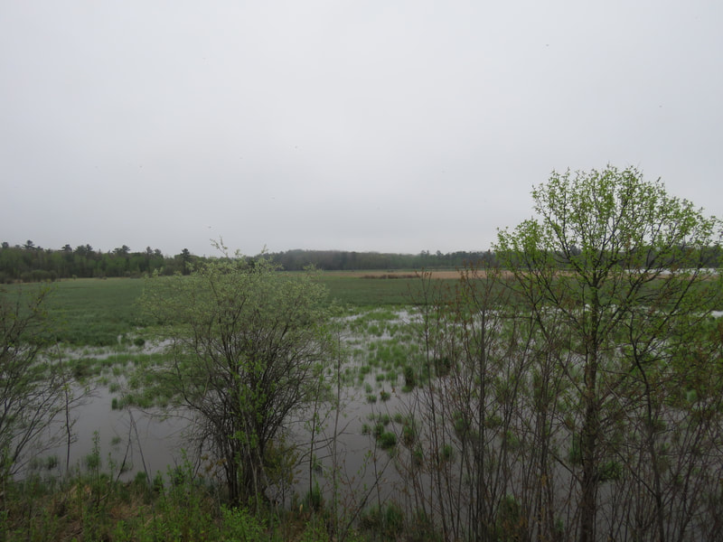
The fog actually got worse after this, so I headed back to The Kensington Conservation Centre to do some things there, then headed back once the sun finally came out. The first photo below is the view from the sharp 90-degree corner on Kensington Point Road. The second photo is from just inside the short treeline from the road. The water levels in Lake Huron are very high again this year, which is evident by the amount of water that can be seen here. Just a couple years ago, I would've been able to explore this area with running shoes and stay dry. Now, even rubber boots might not have been enough!
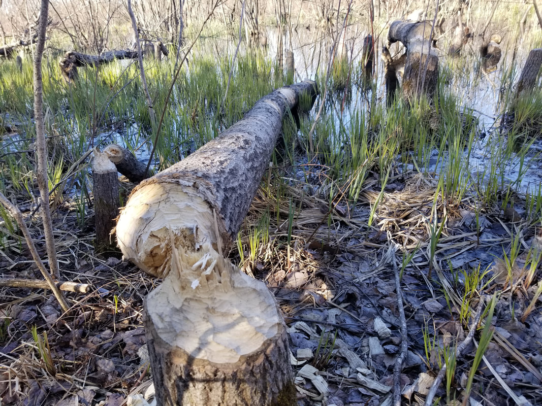
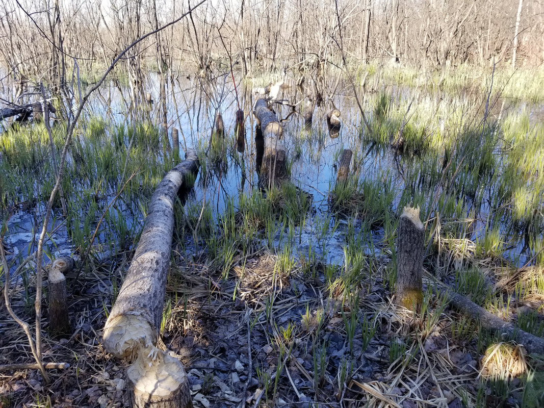
As I approached this wet area, I spooked an American Bittern out of it. It landed not too far away and started calling, but unfortunately, not within sight. I also saw an Eastern Garter Snake, but it slithered into the water before I could get my camera up. It'll be interesting to see how these trees here react to the high water. In other locations, I've noticed that trees have died or are at least really struggling with all this water. The beavers have also moved in with the high water and have started taking trees down.
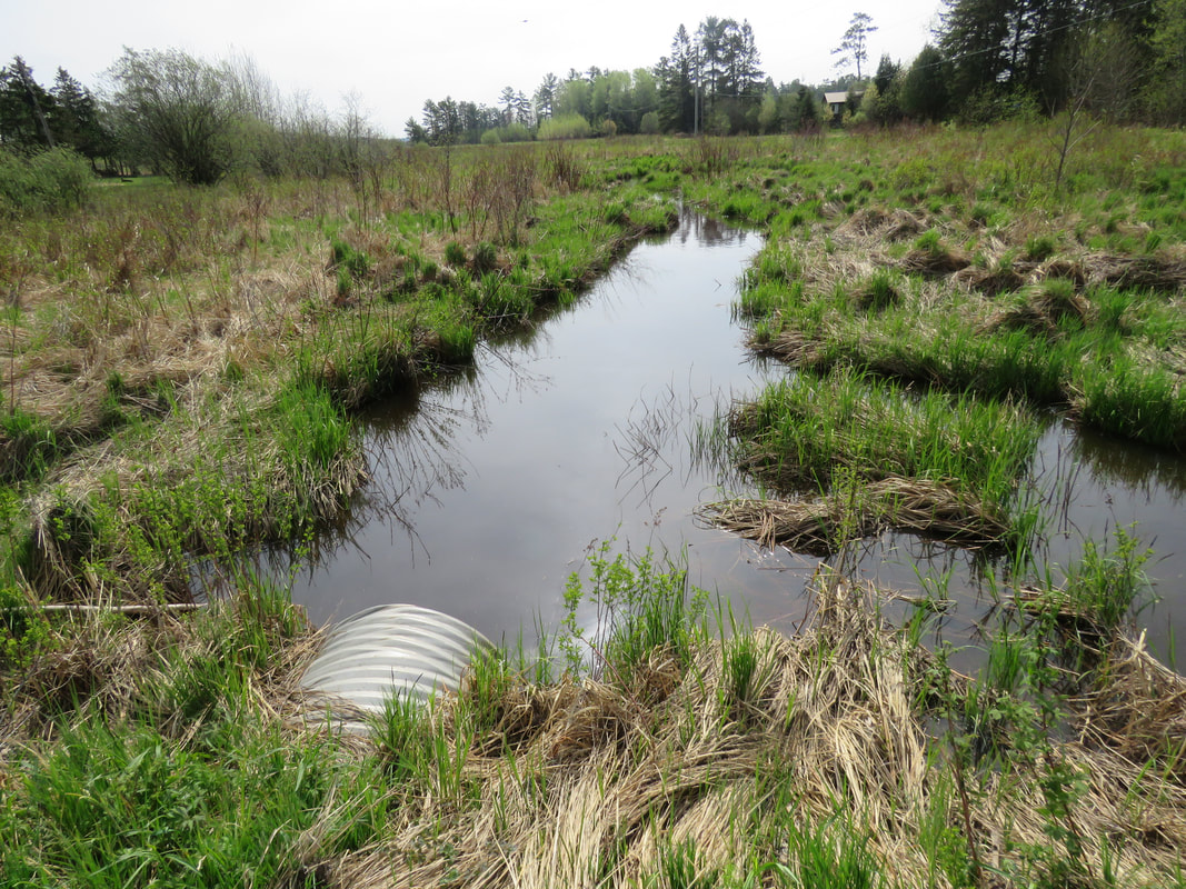
| This small creek flows south from TKC's Ripple Rock Preserve, whose wetland is also part of the Kensington Complex. The creek goes under Kensington Point Road and empties into Lake Huron. The first 35m or so of the creek on the east side of the road are within the boundaries of the Lang Family Preserve. Below is a Swamp Sparrow! |
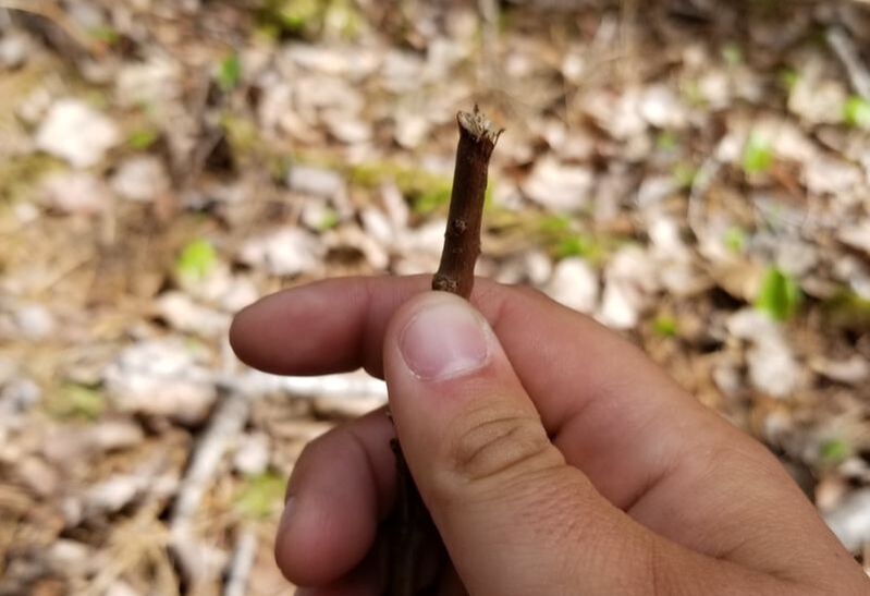
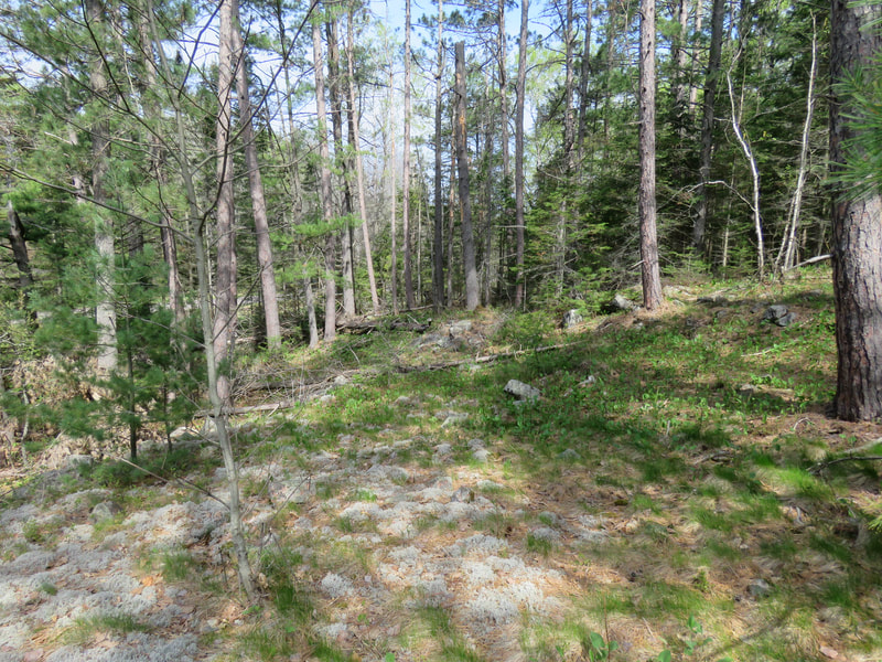
| The southern section of the Lang Family Preserve is mostly a mixed forest and doesn't have much of the wetland on it. I found some evidence of a mammal browsing on some small shrubs on the forest floor. Snowshoe Hare and White-tailed Deer are the two usual culprits of browsing like this. Since it's a very rough cut, it can be concluded that it was a White-tailed Deer. The sharp teeth of a Snowshoe Hare leave a really clean cut, like you would get if you used scissors! |
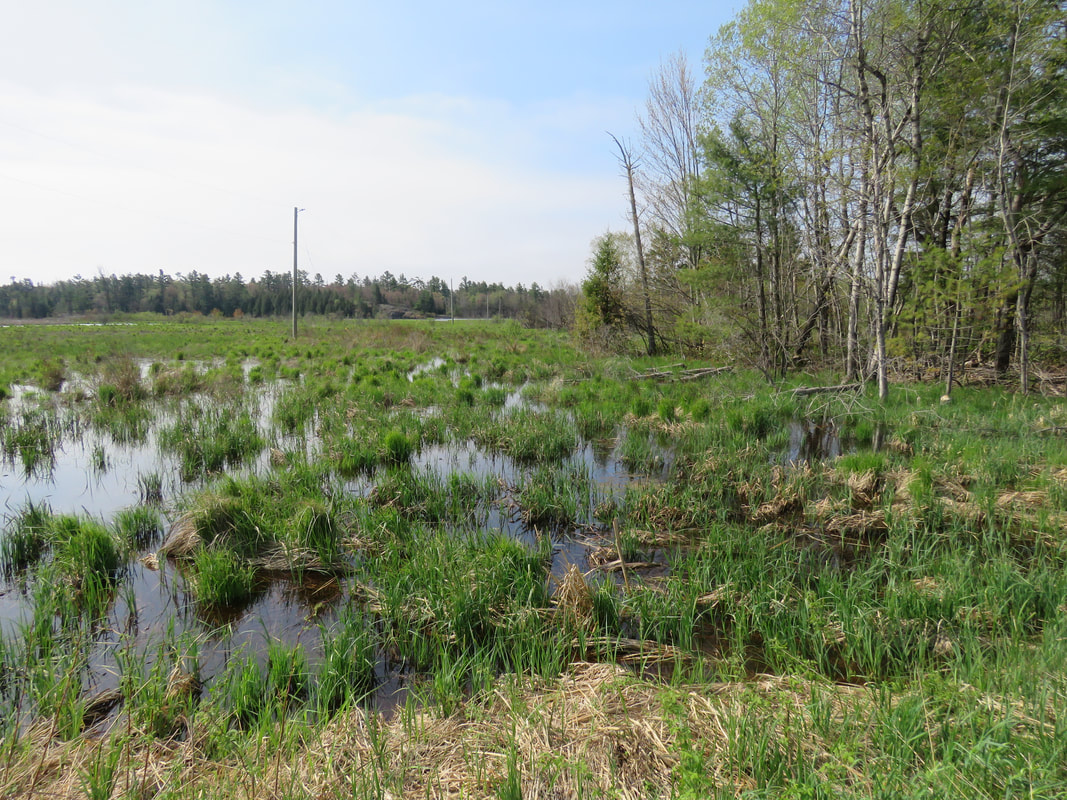
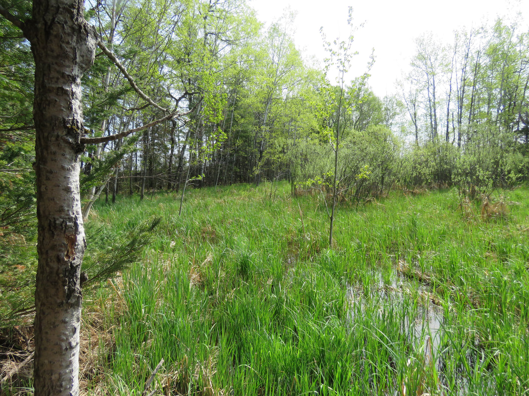
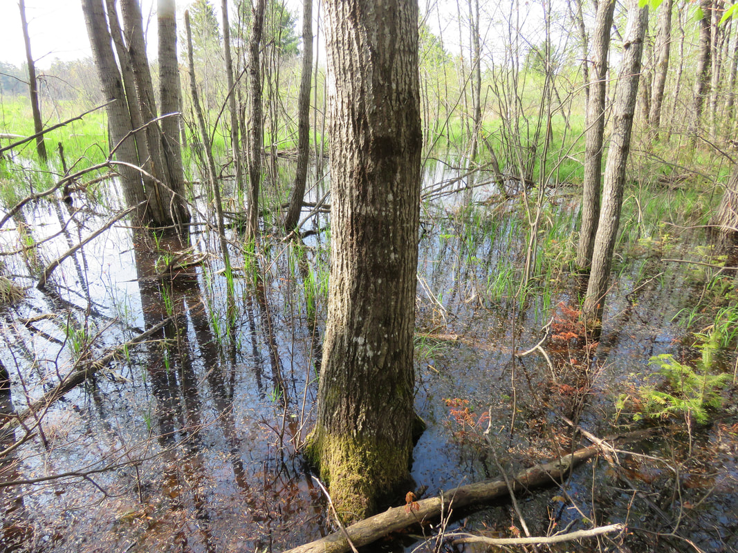
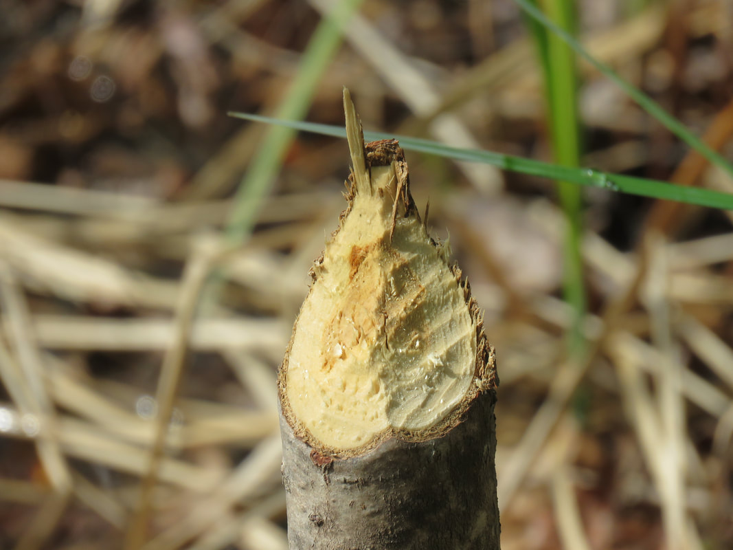
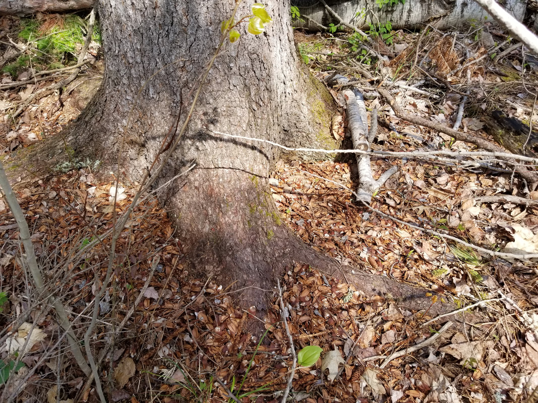
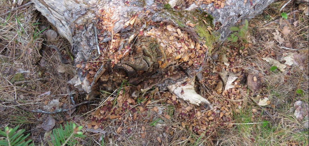
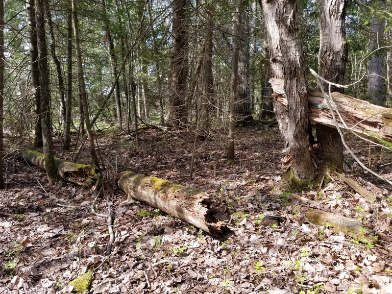
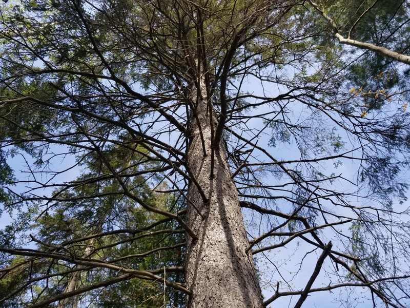
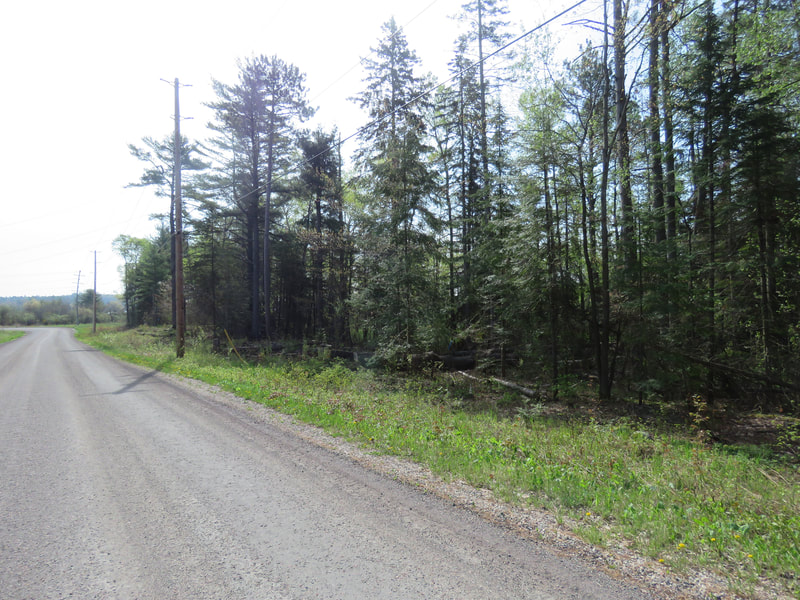
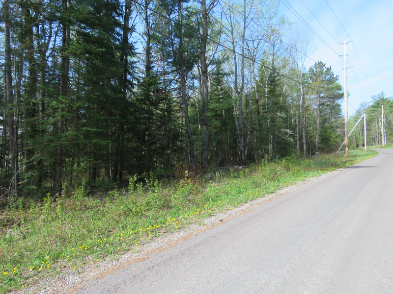
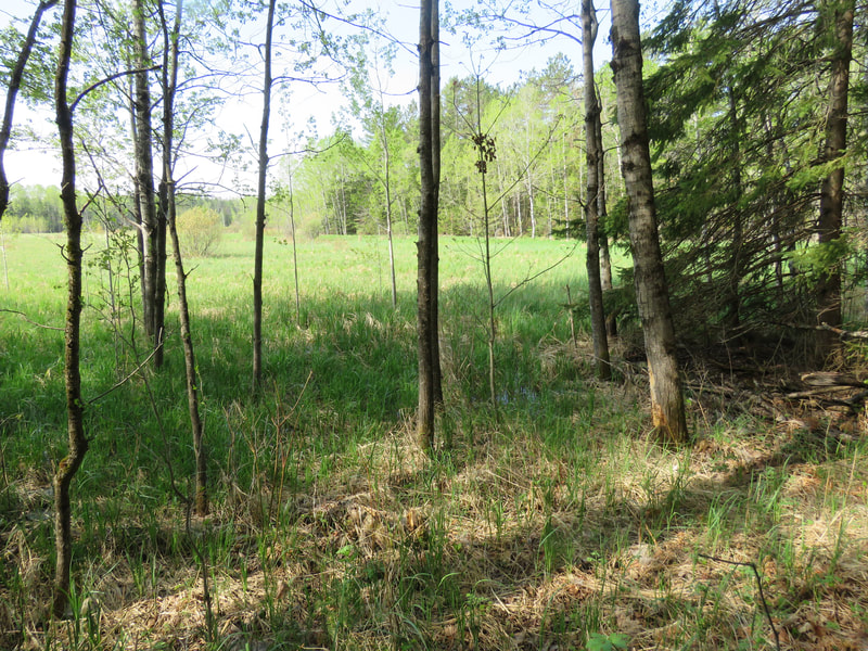
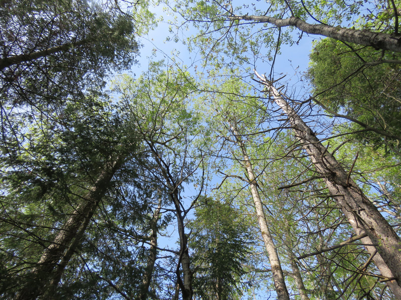
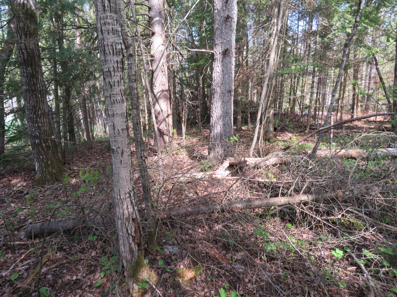
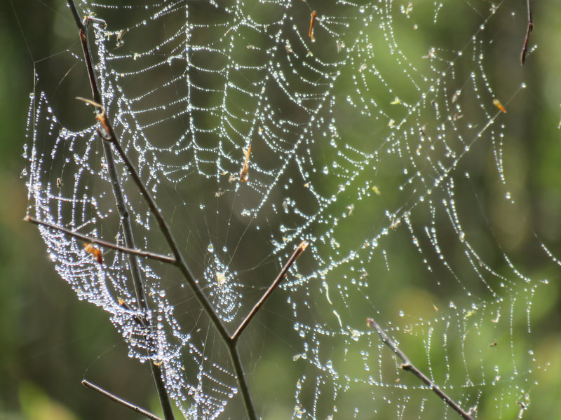
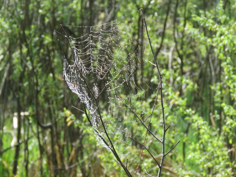
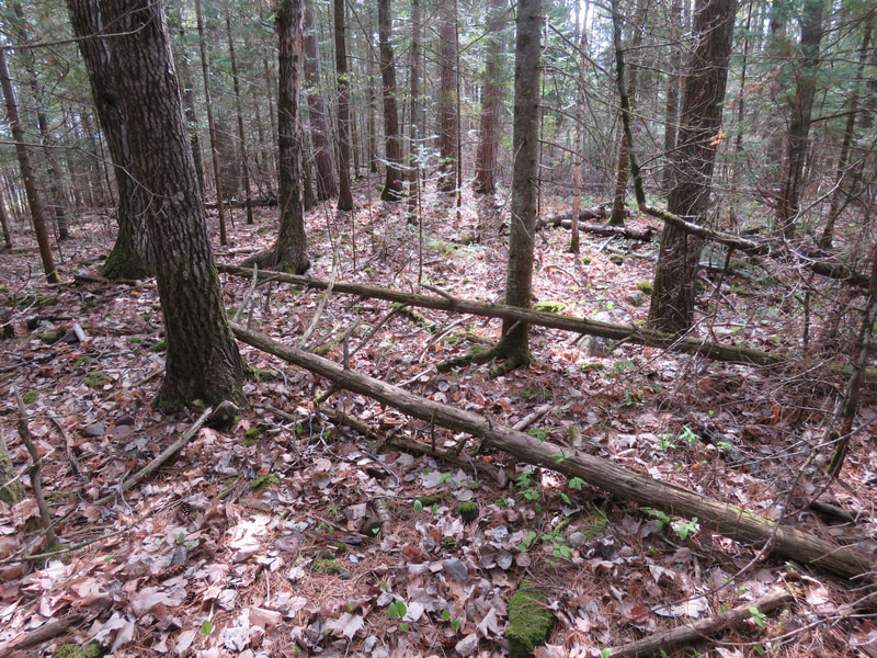
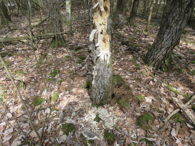
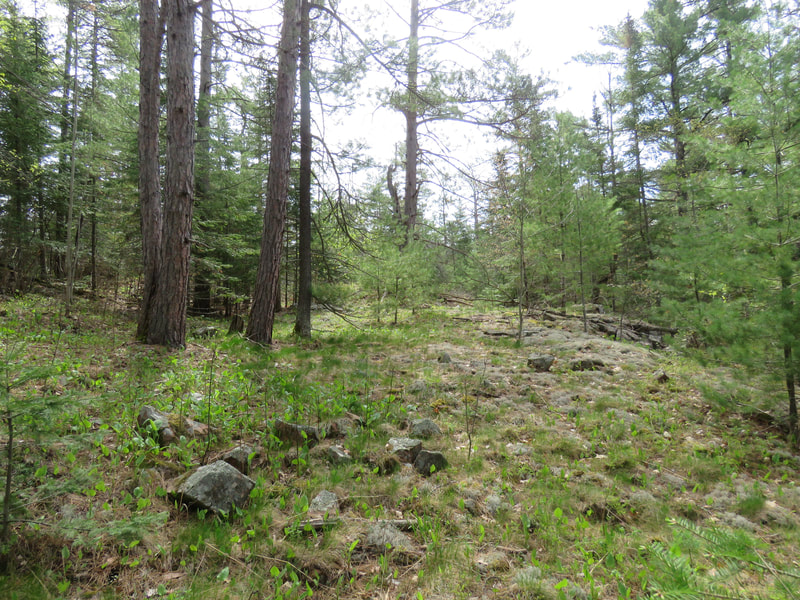
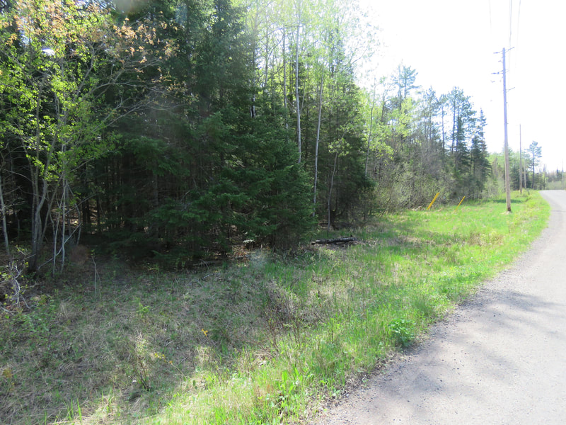
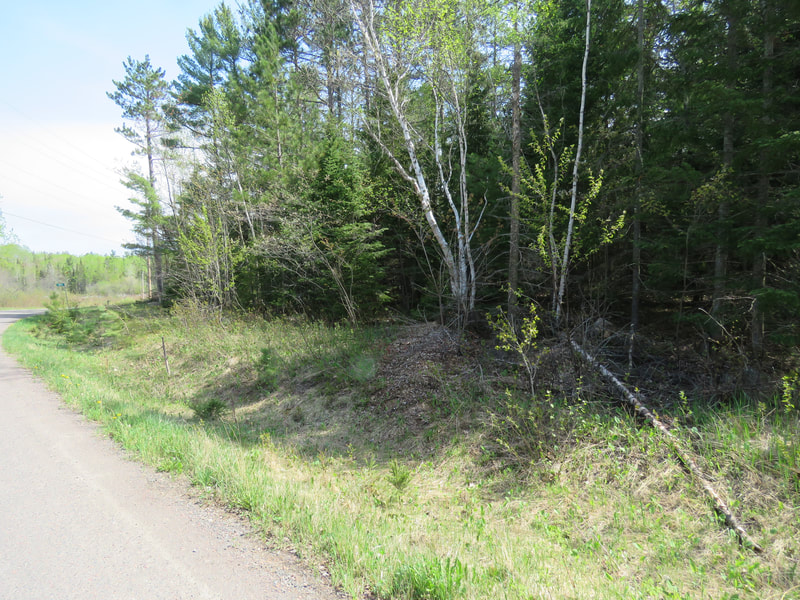
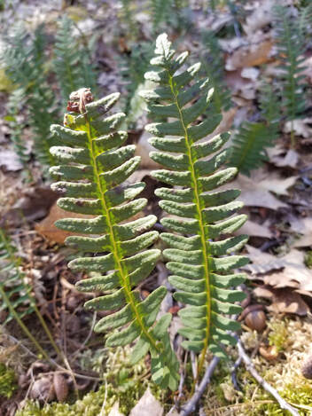
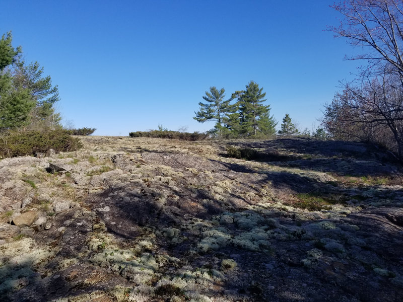
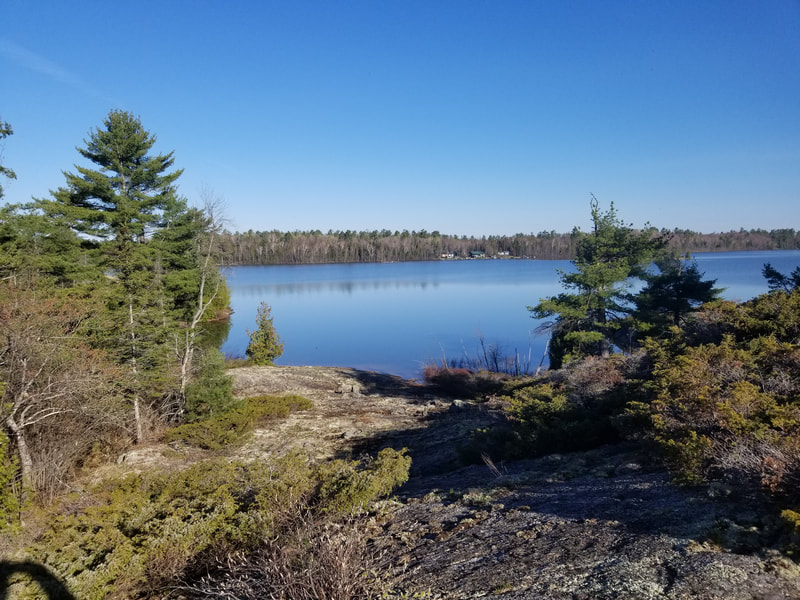
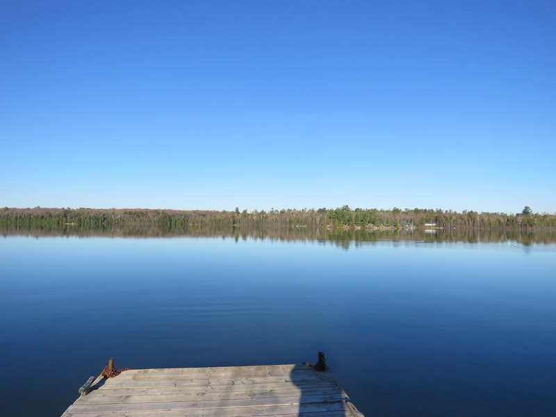
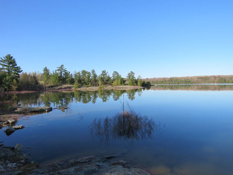
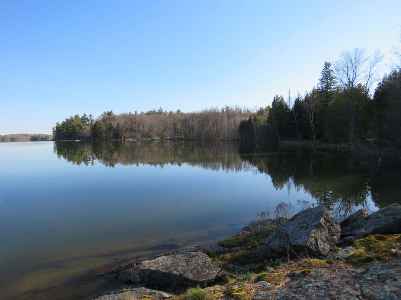
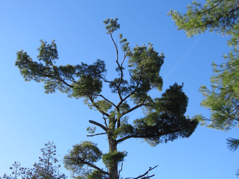
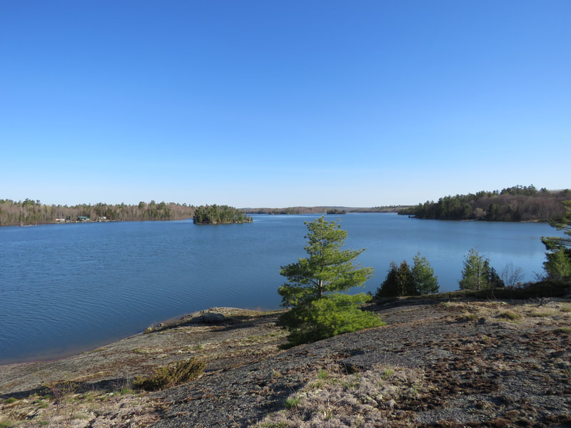
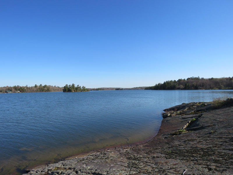
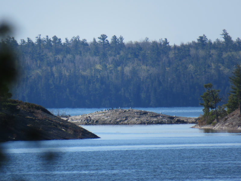
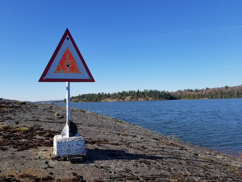
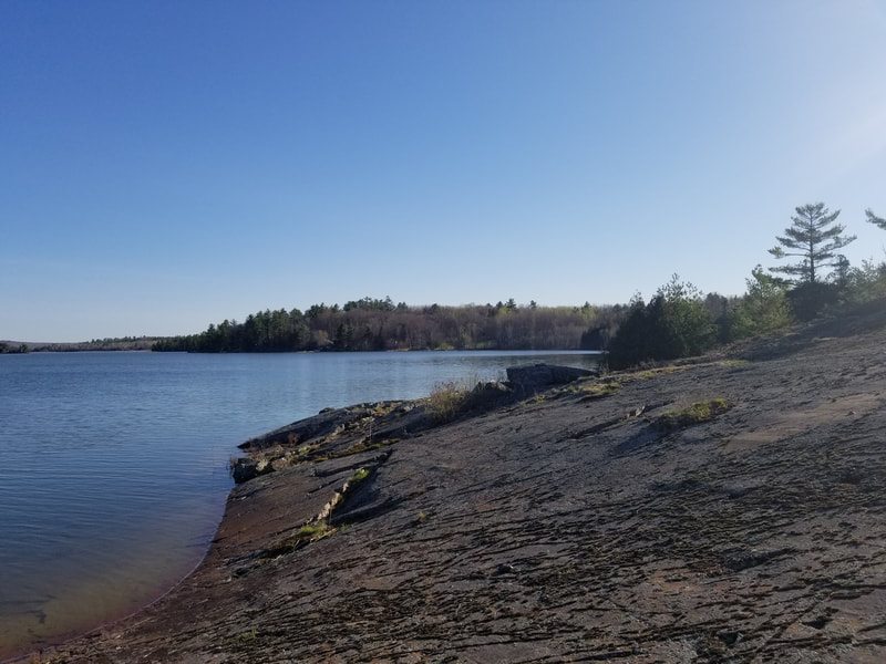
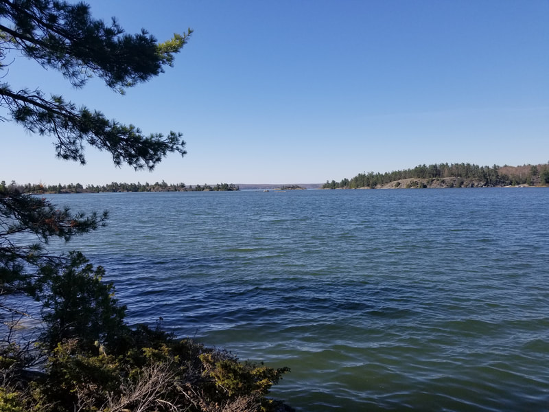
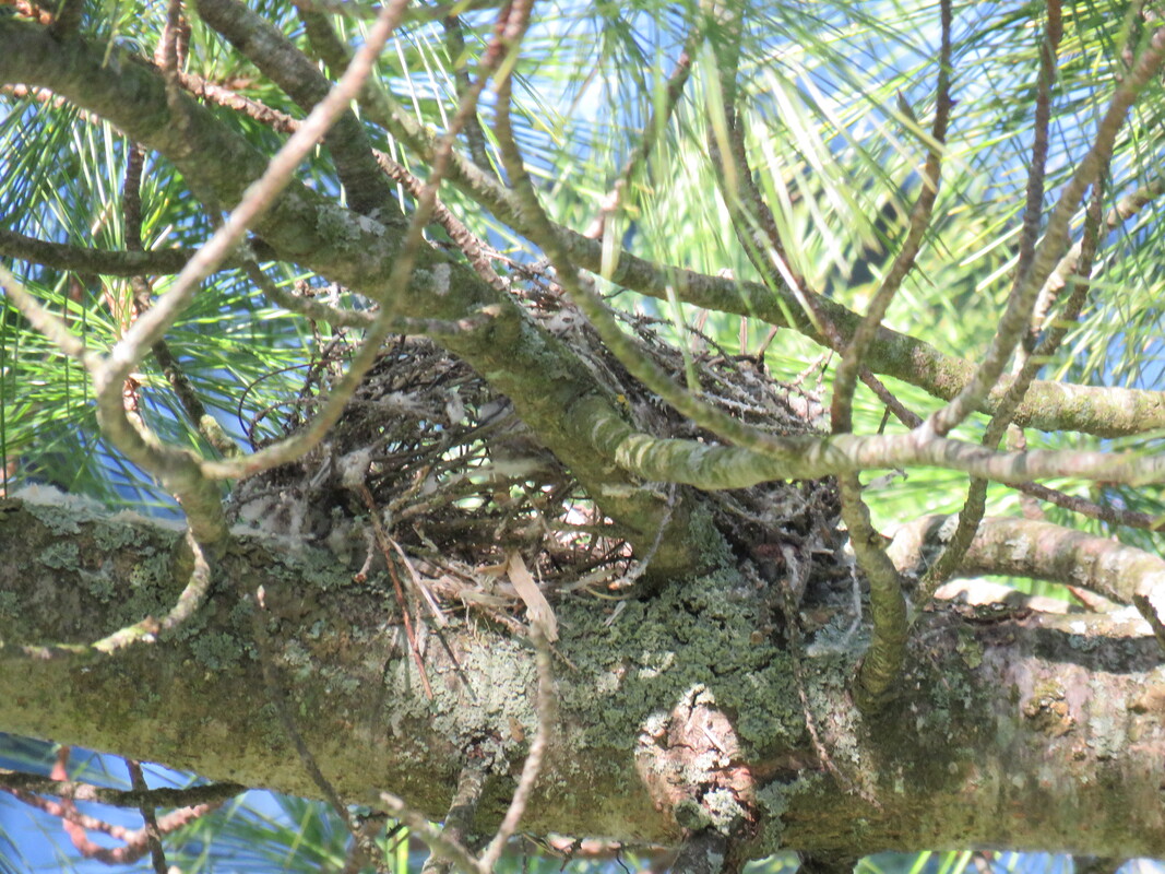
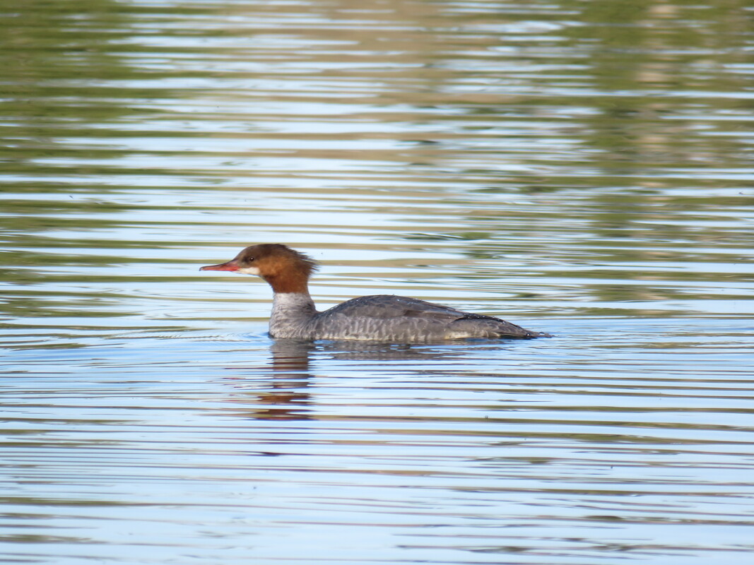
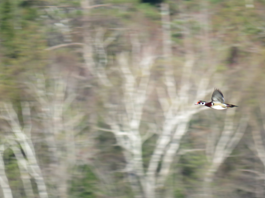
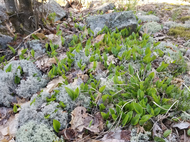
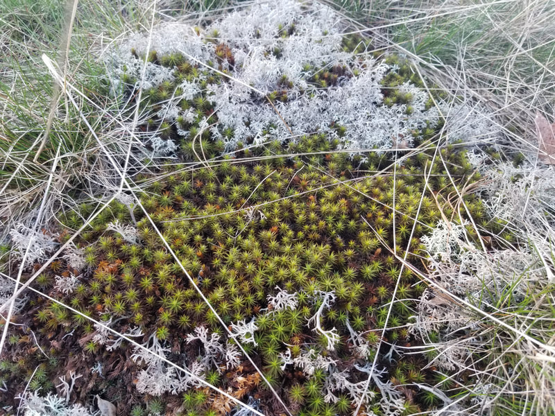
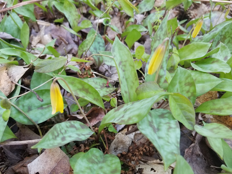
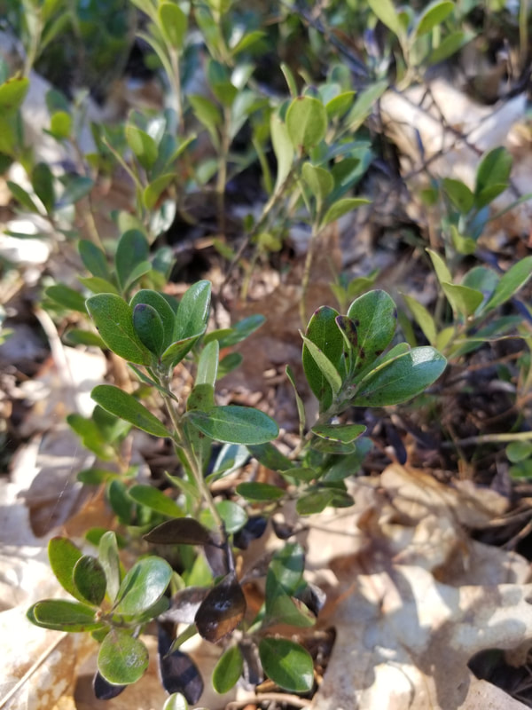
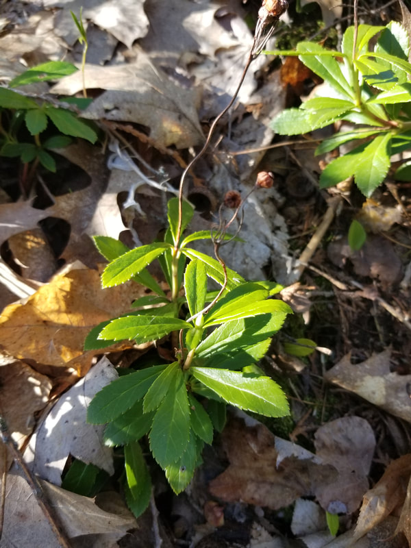
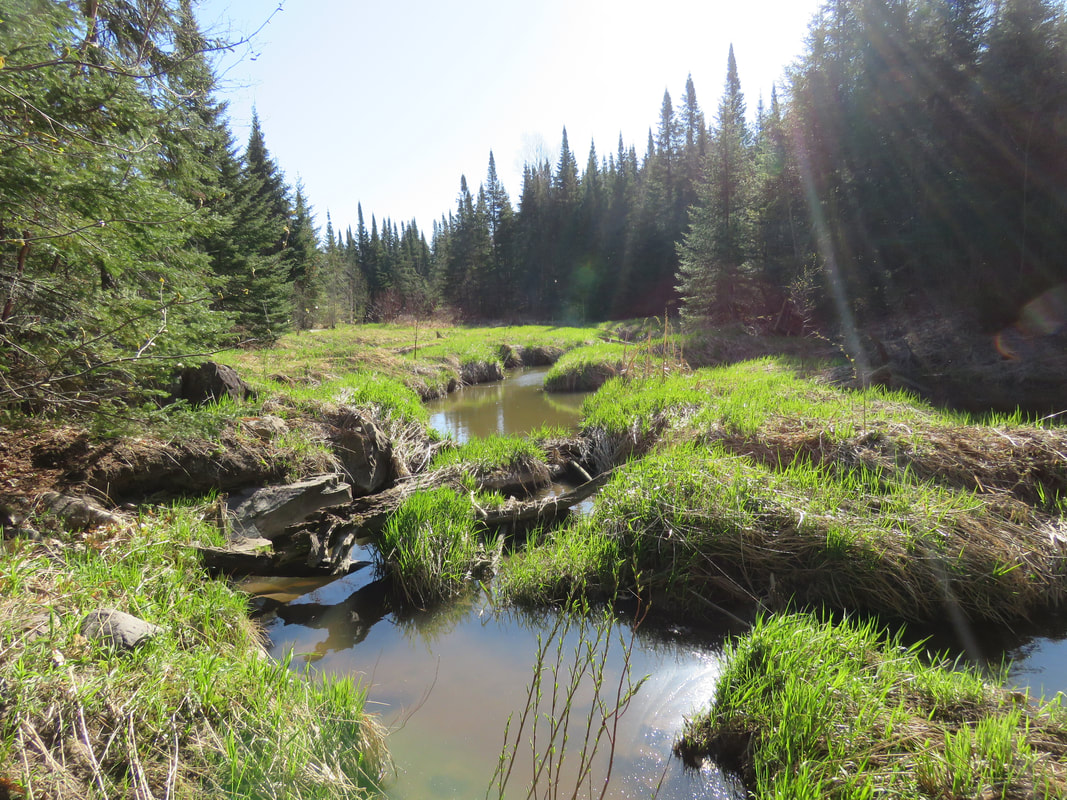
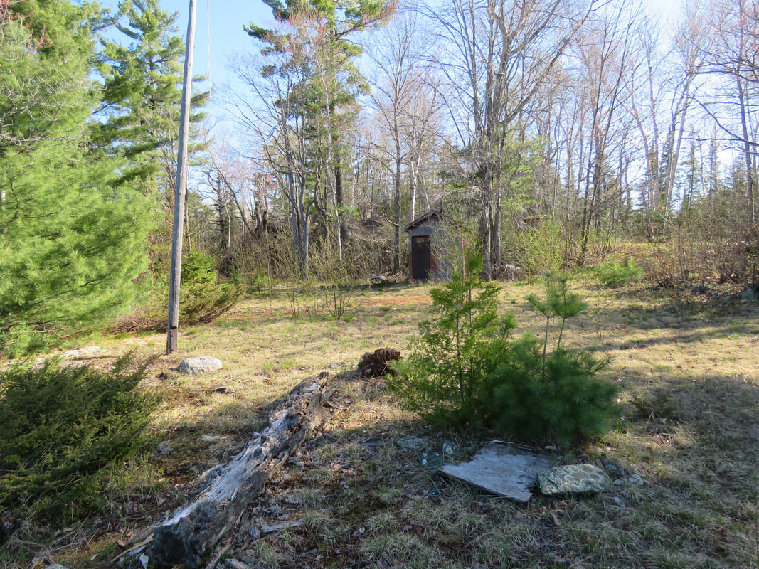
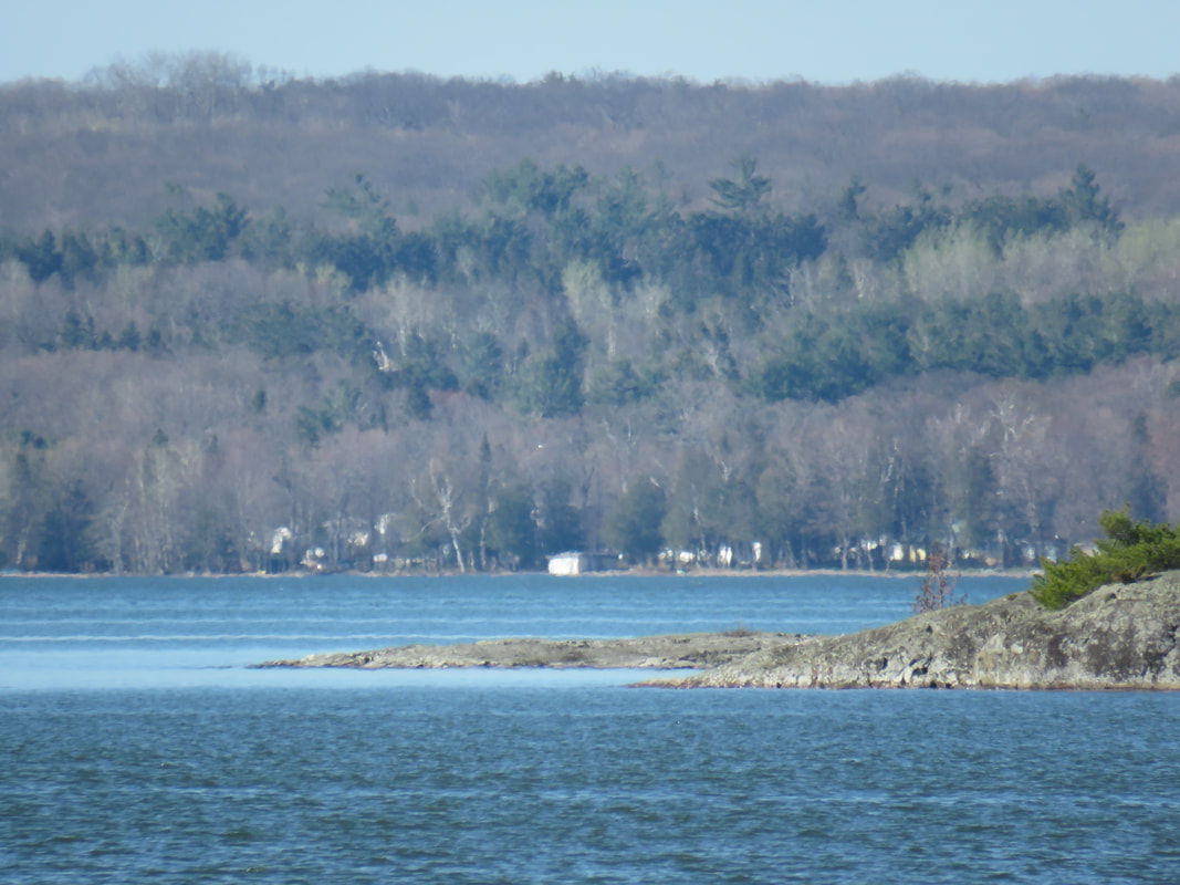
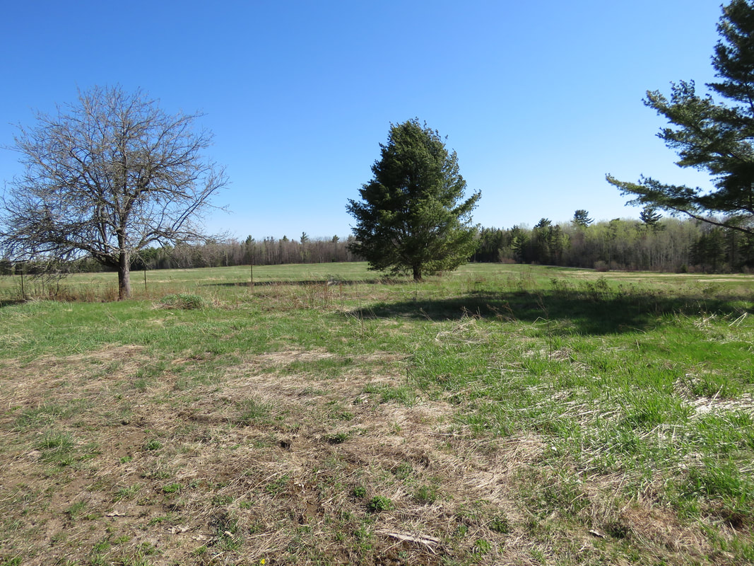
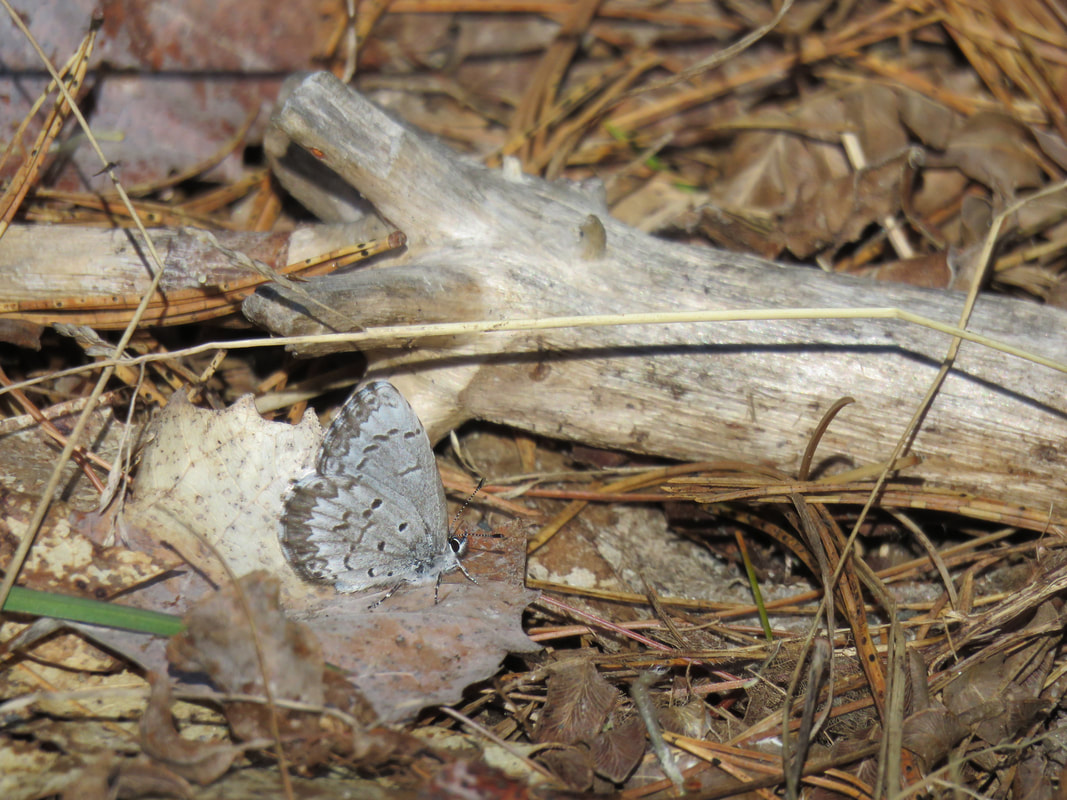
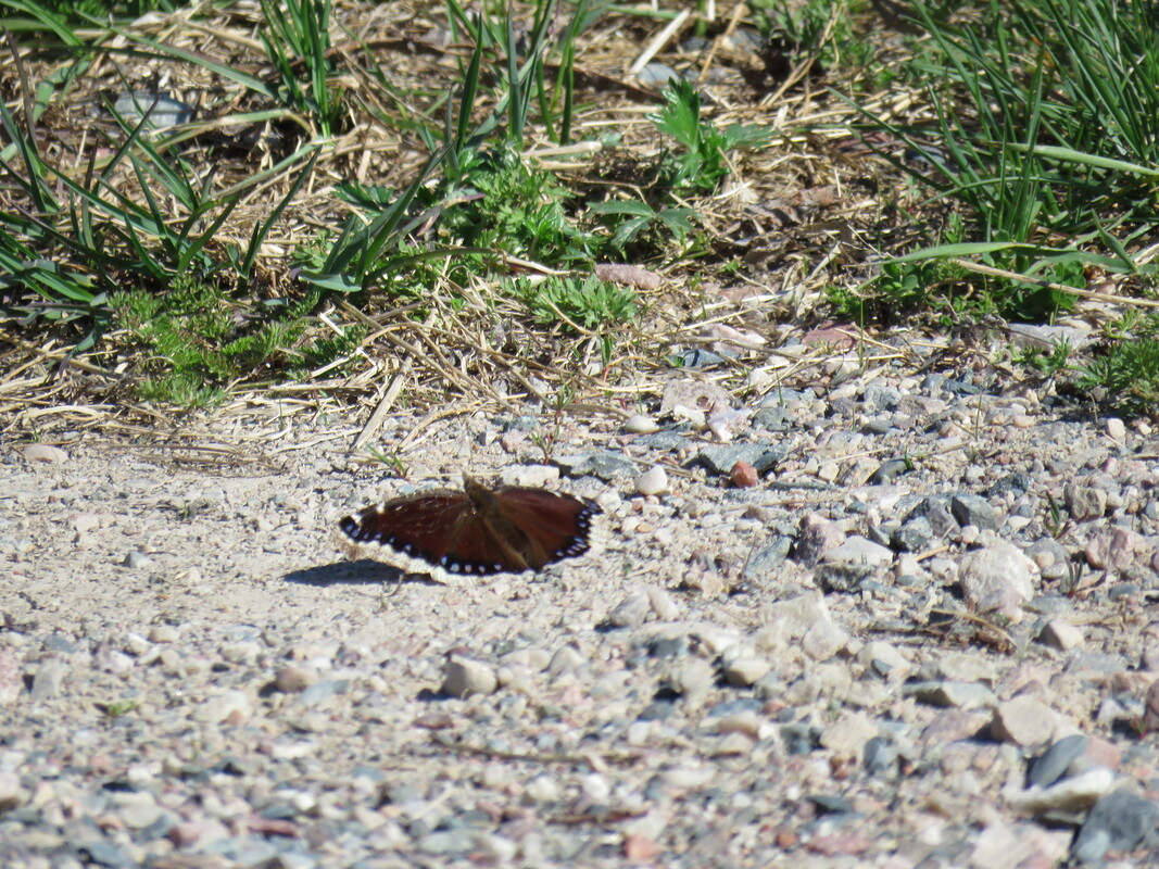
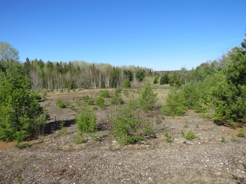
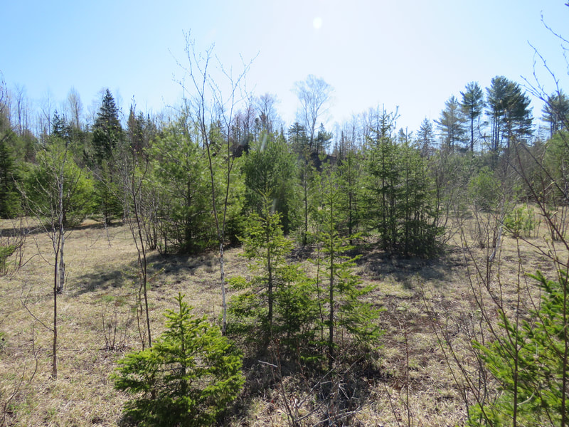
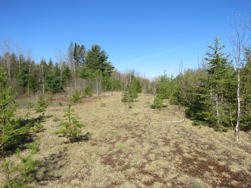
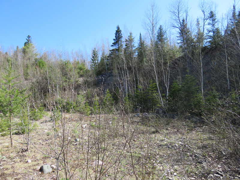
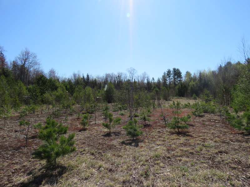
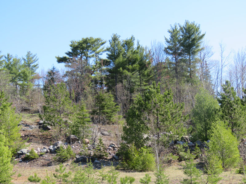
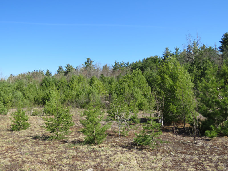
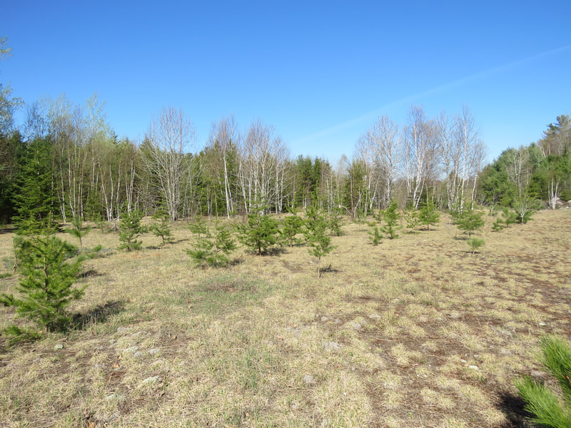
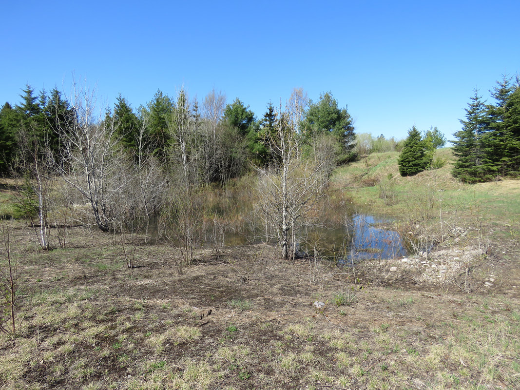
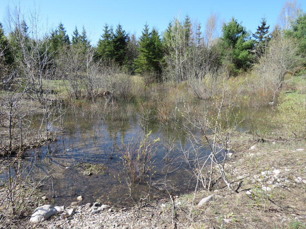
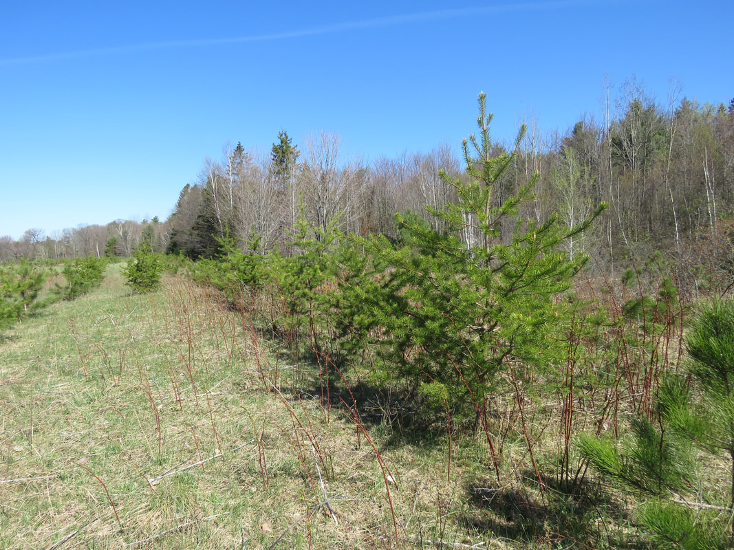
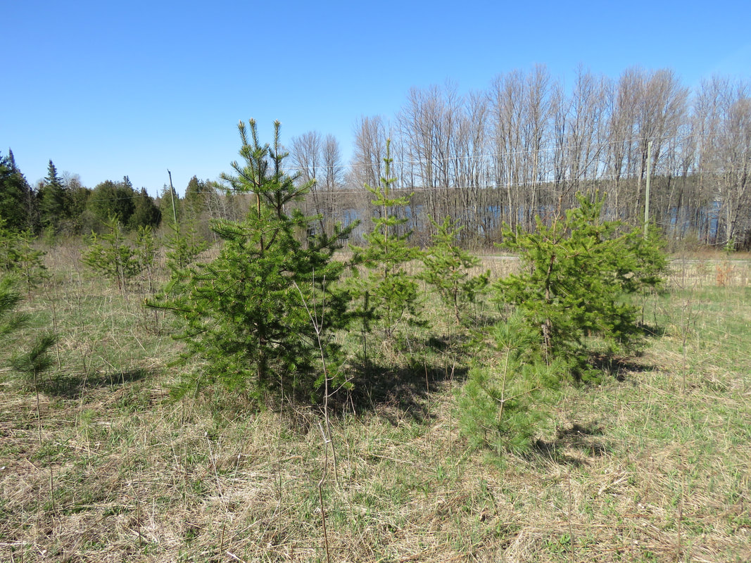
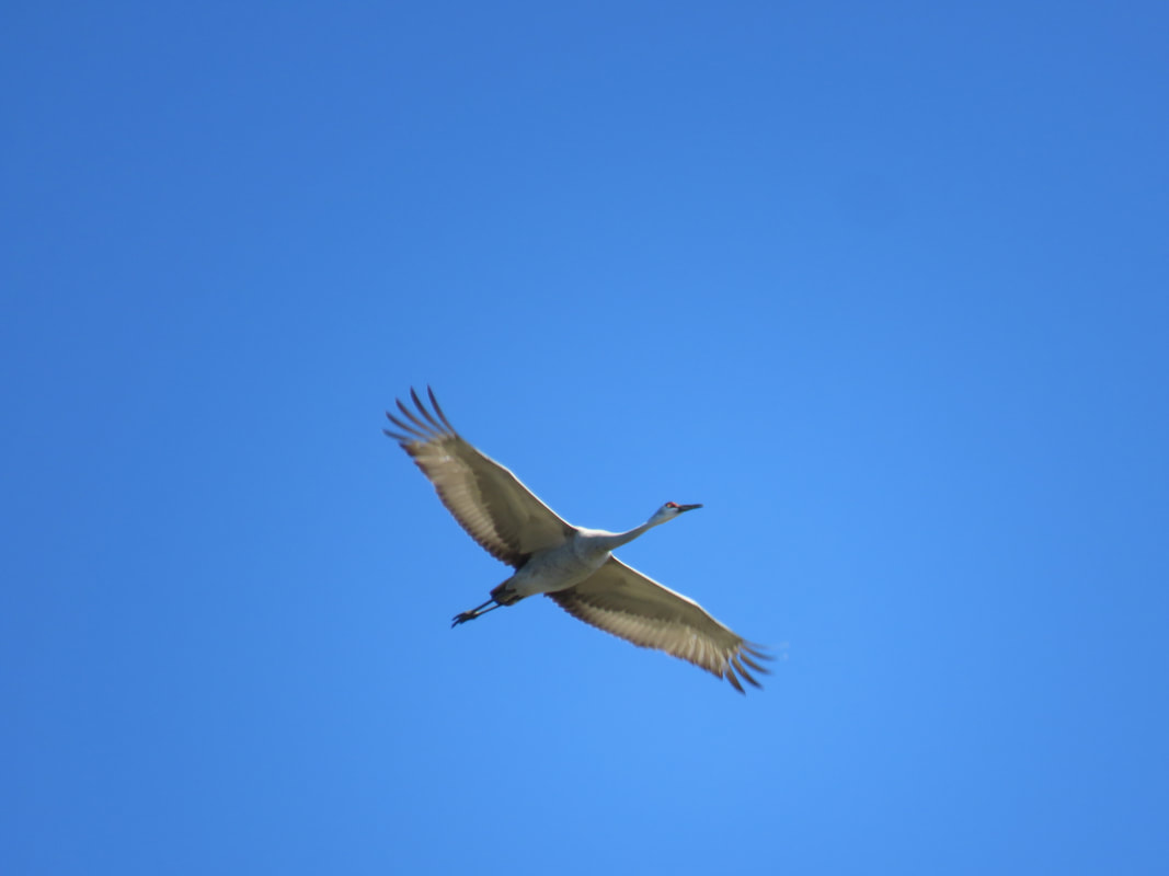
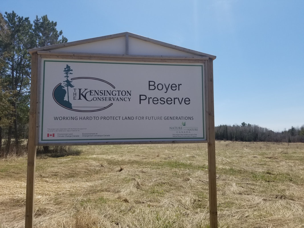
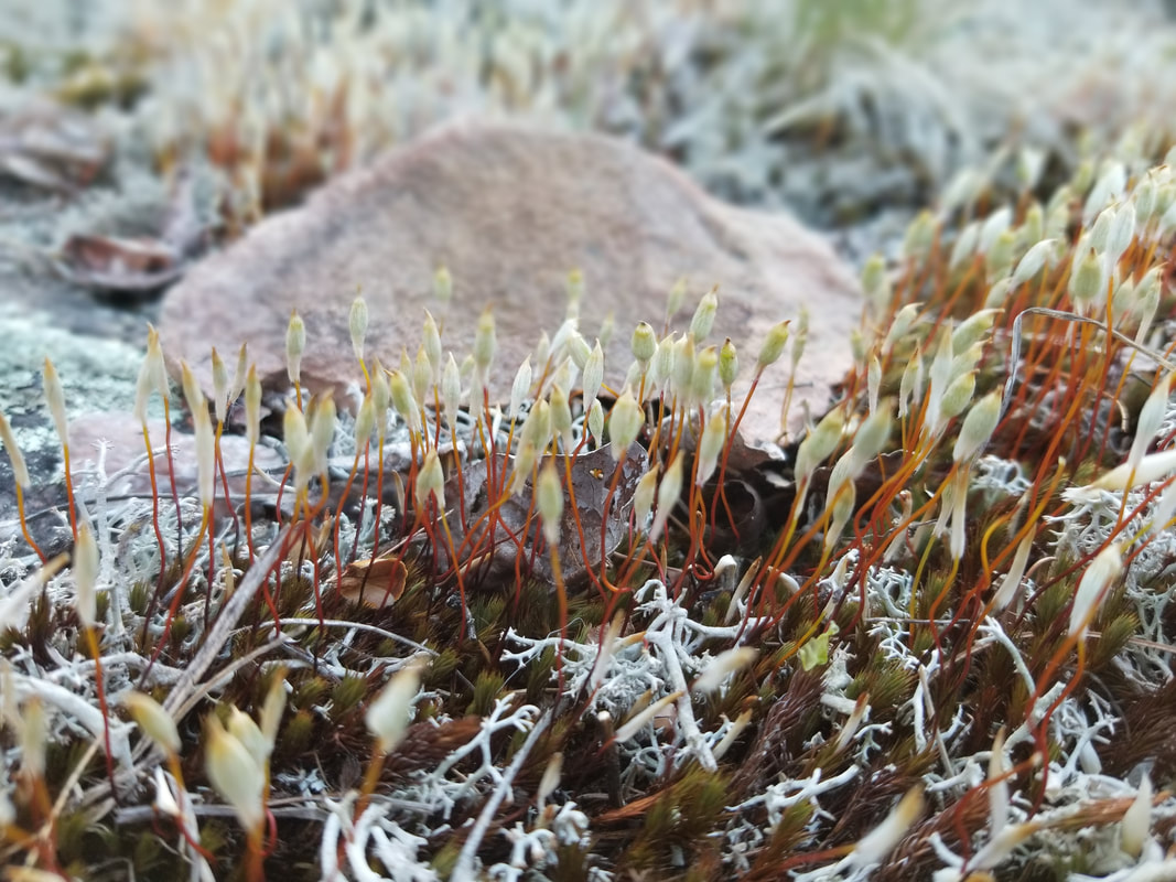
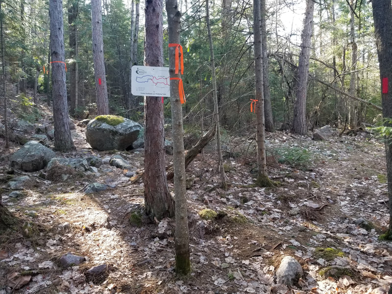
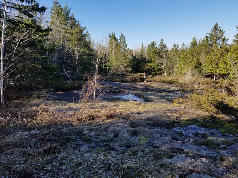
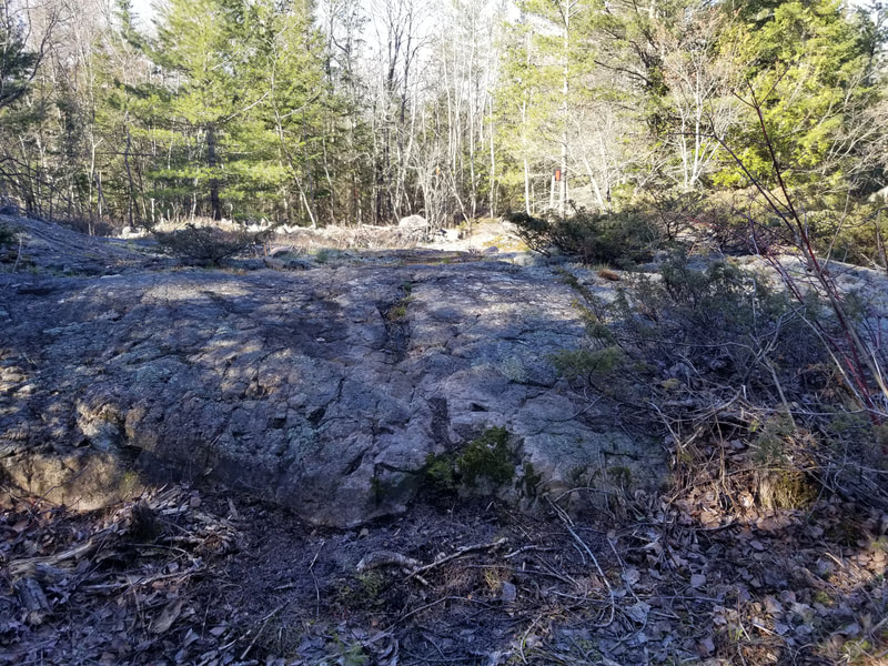
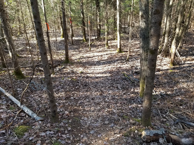
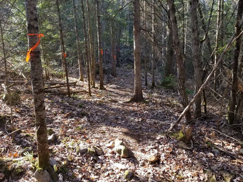
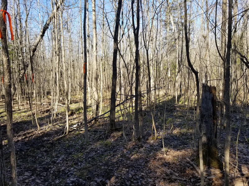
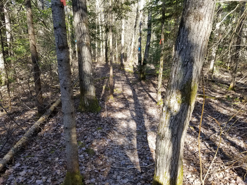
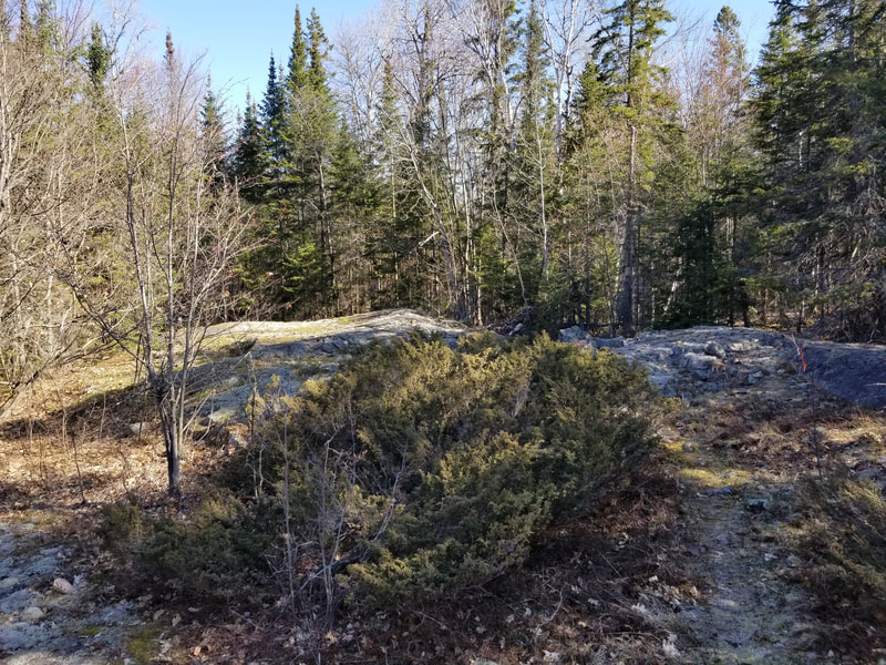
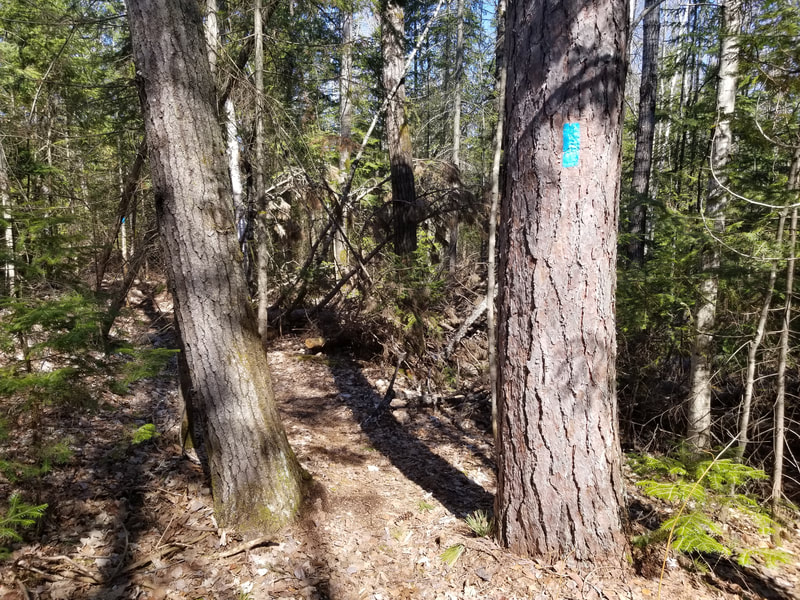
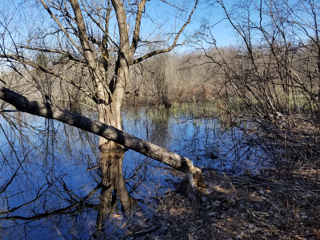
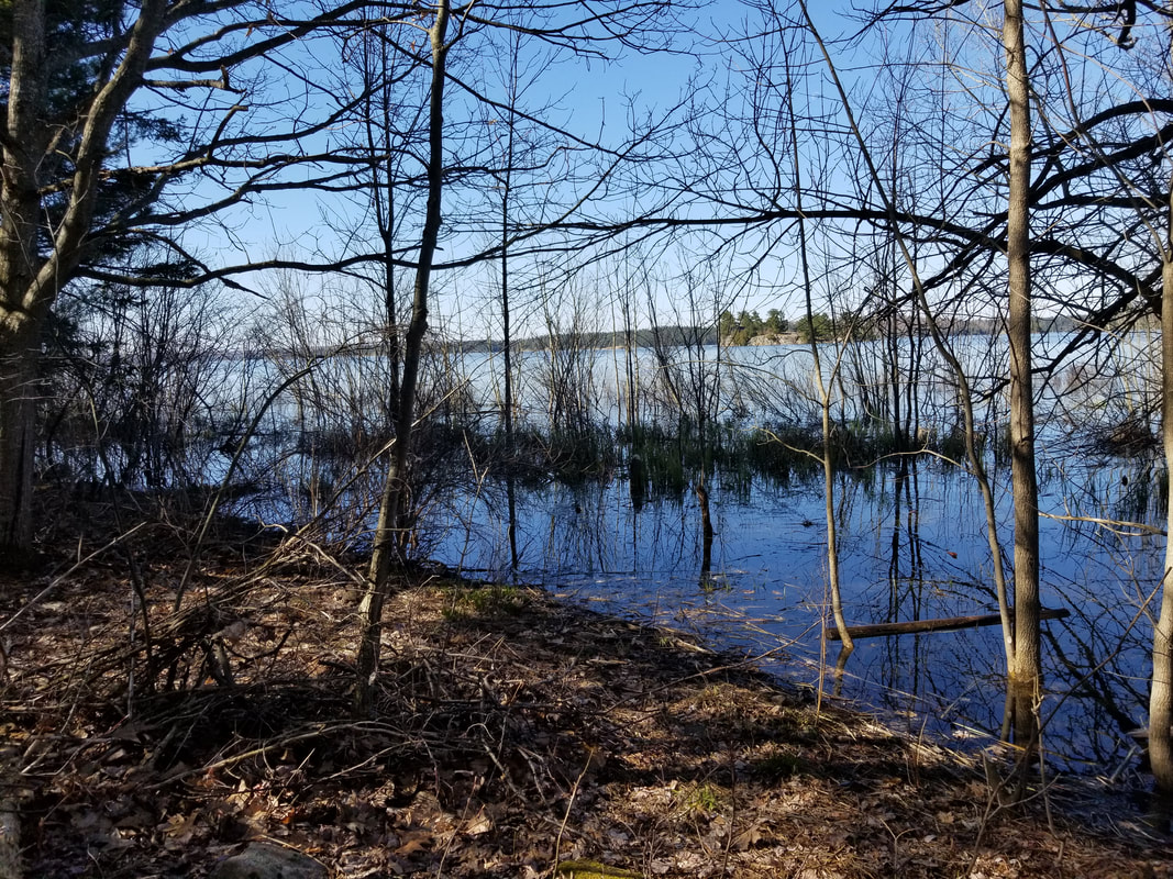
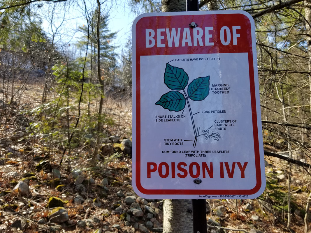
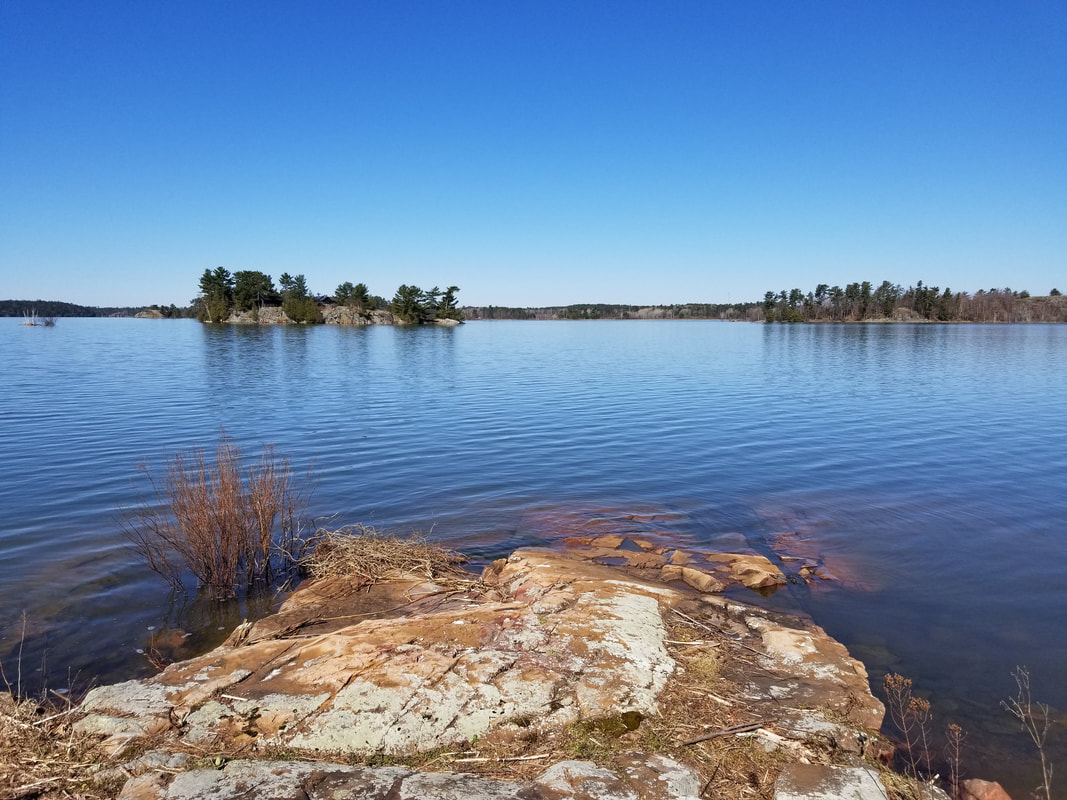
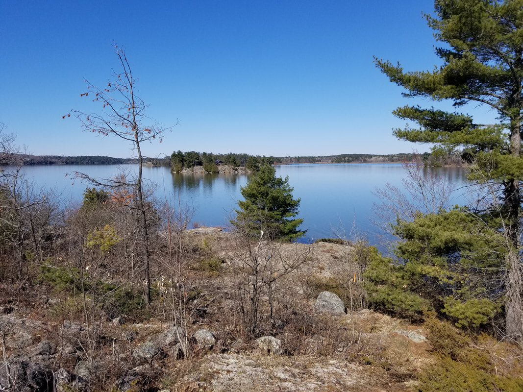
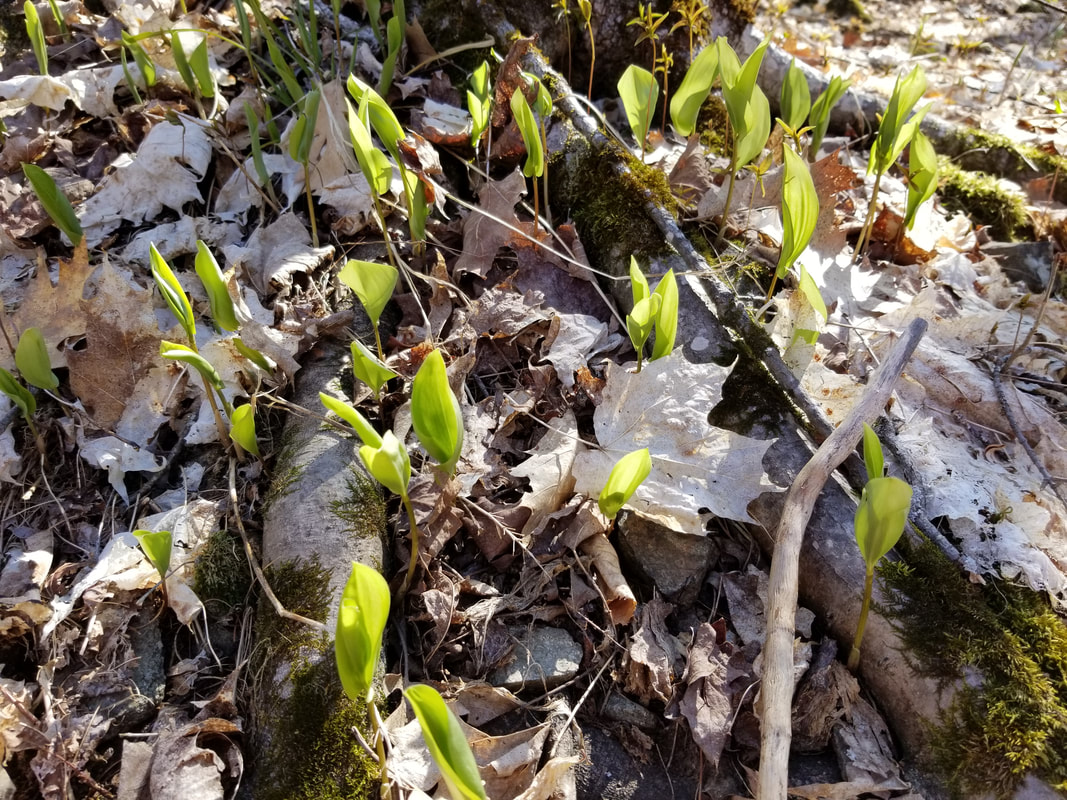
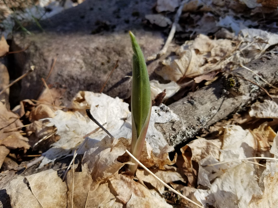
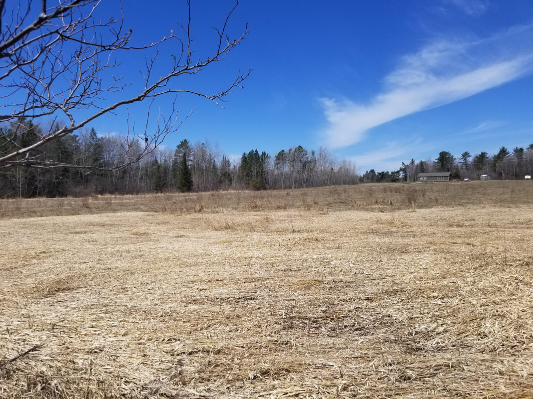
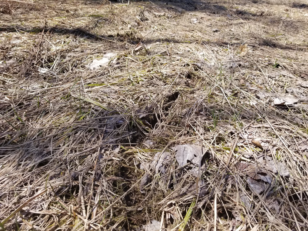
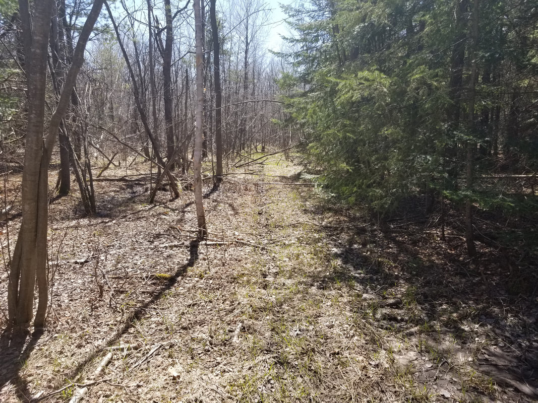
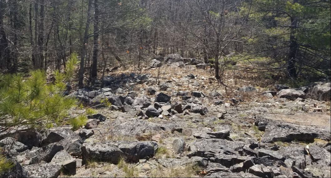
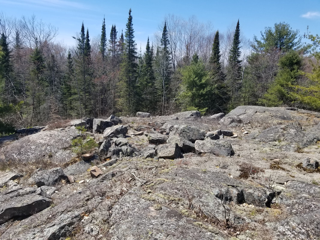
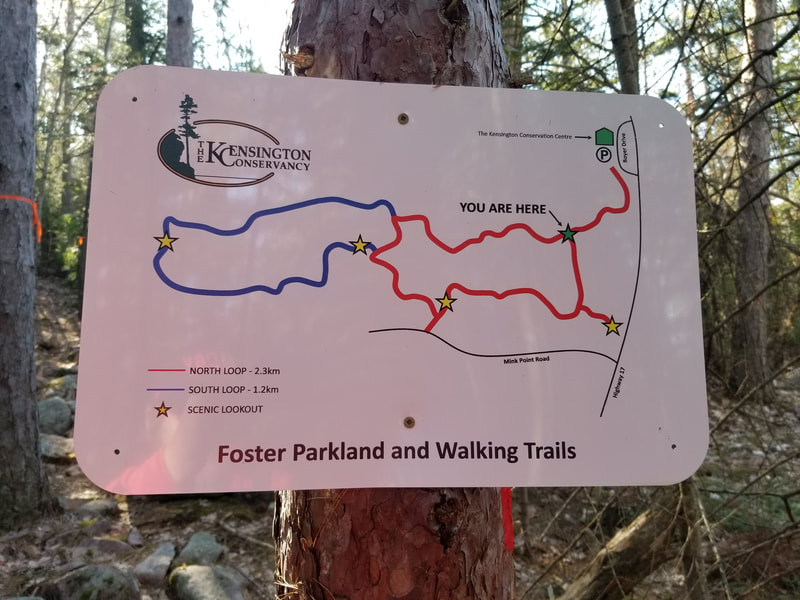
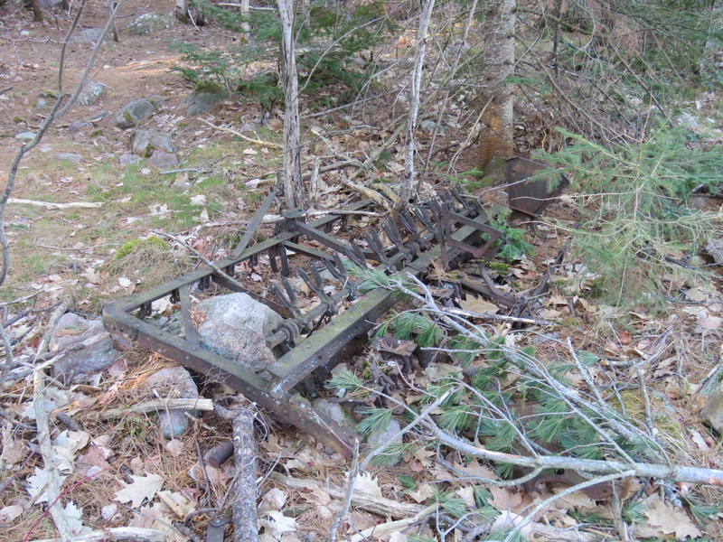
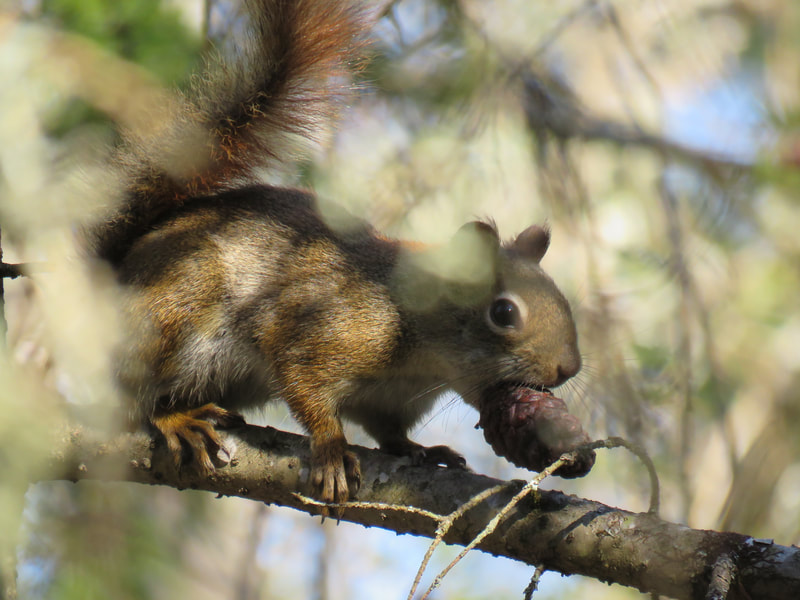
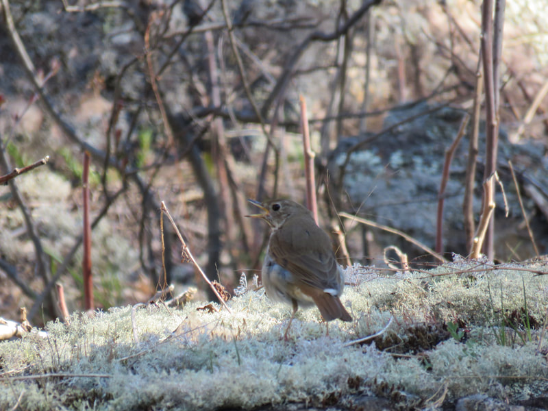
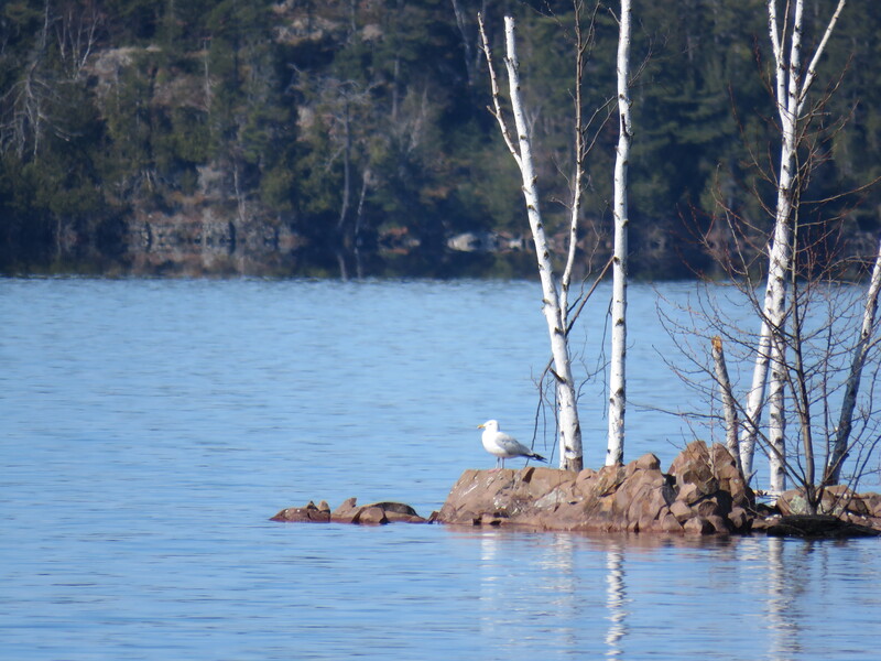
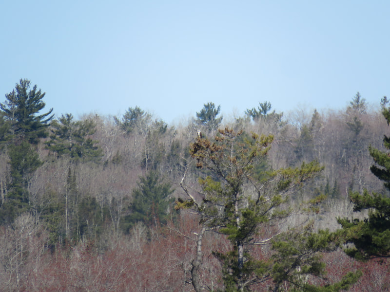
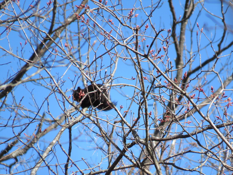
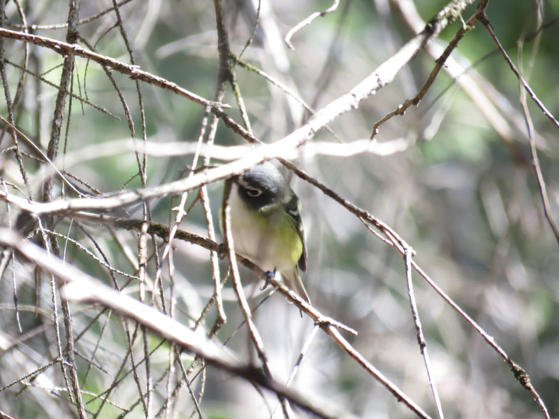
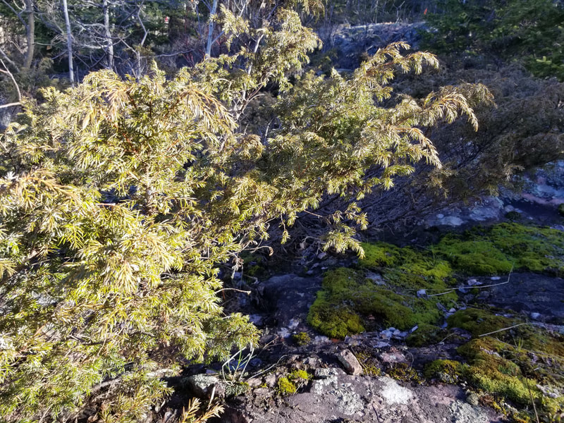
To wrap this tour up, here are just some general photos of the property that I took throughout my walk. Thanks for reading and stay tuned for next week's tour!







 RSS Feed