The Kensington Conservancy's Protected Properties
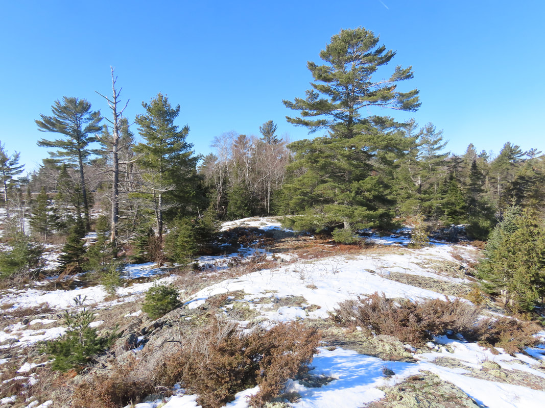
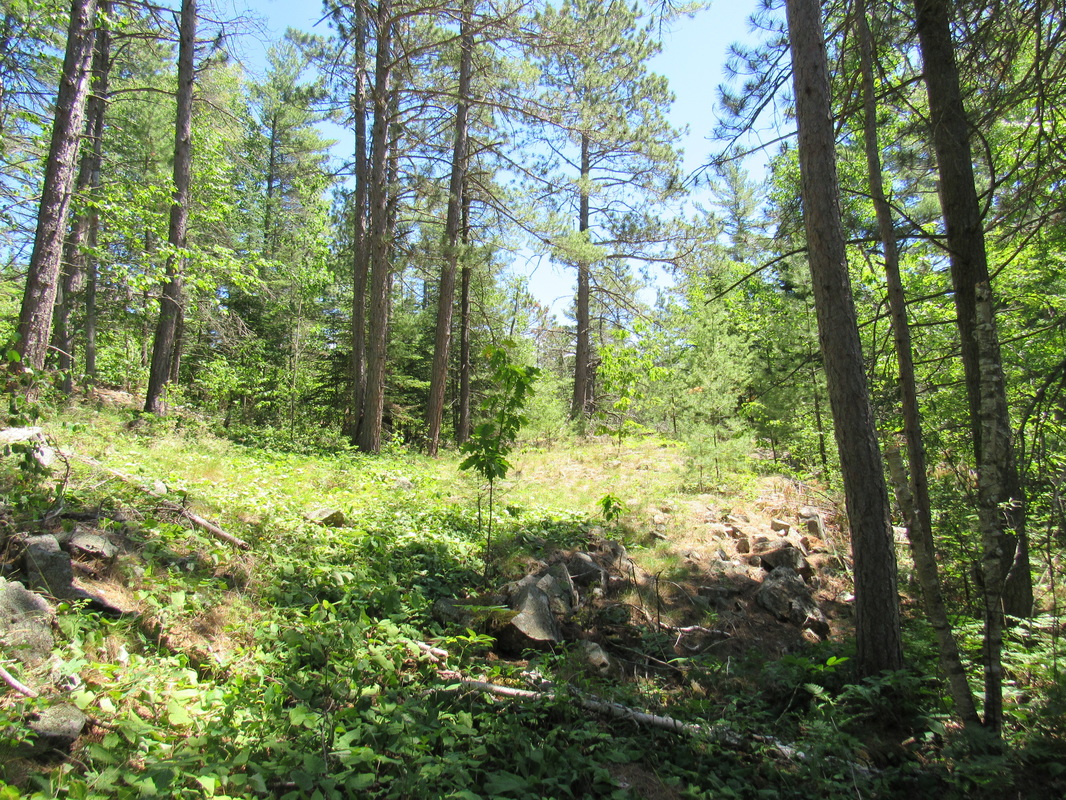
The Kensington Conservancy has protected over 1,200 acres across 13 properties in the form of nature preserves and conservation easements.
Nature Preserves - Public Access with Hiking Trails
|
The following nature preserves having hiking trails that are open year-round to the public for use free of charge. Donations are welcome.
Trail rules include:
|
Submit Your Sightings
Keep us collect data on what species of plants and wildlife are found on our nature preserves! |
|
Boyer Preserve and Foster Parkland and Walking Trails
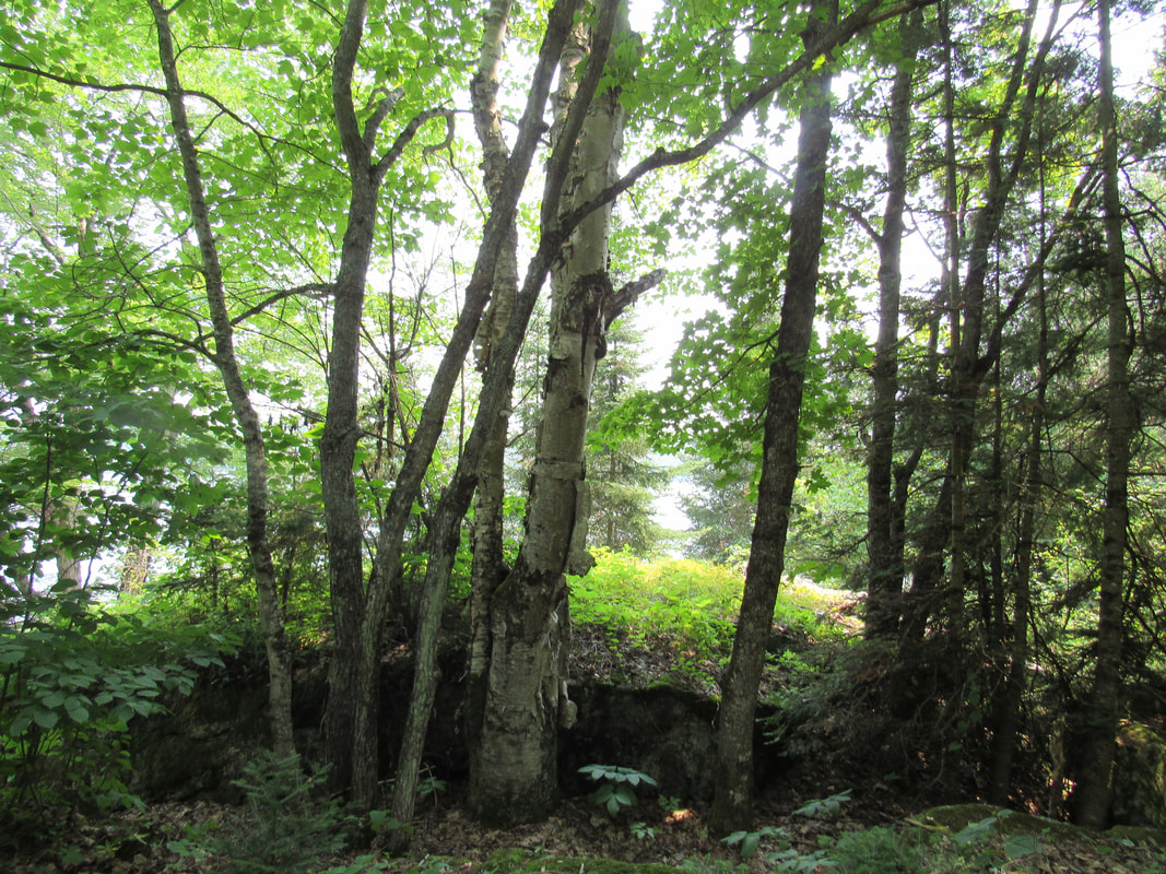
These are two adjacent nature preserves that share a hiking trail system, which is also named the Foster Parkland and Walking Trails. The Boyer Preserve is a 93-acre property that was purchased from the Boyer Family in 2016. The majority of the property is forested, making it an ideal home for many different species of wildlife and plants. It protects over 0.5 km (1700 feet) of undeveloped shoreline and features a portion of the Kensington Complex, a Provincially Significant Wetland. The north end of the property has an open meadow, where many birds, insects and traveling mammals can easily be found. The Foster Parkland and Walking Trails is a 40-acre property that was donated to The Kensington Conservancy by Maurice and Janet Foster in 2009 through the Ecological Gifts Program. This nature preserve has perhaps the most diverse forest ecosystem of any of the TKC's nature preserves, despite its small size. This rich forest habitat supports a great deal of wildlife; many species of songbirds, woodpeckers and birds of prey, nine species of amphibians (despite a lack of permanent water sources) and a large population of snowshoe hare and other rodents. Access Details The trailhead is located at 69 Boyer Drive in Desbarats, which is the home of The Kensington Conservation Centre. There is a parking lot that can accommodate several vehicles. The trails are open to the public to use at all times free of charge. However, we are happy to accept donations on site or online. For more information about the trails, please click here. |
|
Gravel Point Preserve
The Gravel Point Preserve is a 278-acre property consisting of four adjacent lots. It features mixed forests and wetlands that provides important habitat for thousands of wildlife and plant species. It is The Kensington Conservancy’s first nature preserve on St. Joseph Island and our largest protection project to-date. The creation of the Gravel Point Preserve was made possible by Betsy and Bill Kingery, who donated one of the lots that makes up the preserve and donated the funds to purchase the other three lots. The wetlands on the preserve are designated as coastal wetlands, which are among the region’s most ecologically valuable ecosystems. A number of species at risk have been recorded here, including monarch, eastern wood-pewee, and black ash. Access Details The trailhead is located along Highway 548 in Hilton Township on St. Joseph Island, Ontario, approximately 3km south of Forbes Community Park in Hilton Beach. There is a parking lot that can accommodate several vehicles. The trails are open to the public to use at all times free of charge. However, we are happy to accept donations online. For more information about the trails, please click here. |
Nature Preserves - Public Access without Hiking Trails
|
The following nature preserves are open to public for light recreational use, but they do not have established hiking trails or infrastructure. Please note that these preserves are only accessible by watercraft.
Access rules include:
|
Submit Your Sightings
Keep us collect data on what species of plants and wildlife are found on our nature preserves! |
|
Bowen Island Preserve
Bowen Island is a 15-acre undeveloped island with 1.28 km (4,200 feet) of protected shoreline. Bowen Island is a part of the Foreshaw Island Complex, which has been identified as one of the key island complexes for biodiversity conservation within the St. Marys River. The island is also located within the St. Marys River Complex Important Bird Area, which is significant for breeding species such as the Black Tern, Common Tern, Least Bittern, Bald Eagle and Osprey. It is also an important stopover area for migrating birds such as the Rusty Blackbird and a variety of congregating waterfowl. With the assistance and facilitation of The Kensington Conservancy, Alden and Connie Meyer generously donated Bowen Island in 2023 to American Friends of Canadian Conservation, a United States nonprofit that collaborates with Canadian charities, governments and First Nations to protect Canada’s natural and cultural heritage. The management and environmental stewardship of Bowen Island will be our responsibility. In the future, TKC will request a transfer of ownership of the island. Access Details Bowen Island Preserve is only accessible by watercraft. Please be respectful of the island's ecosystem when landing your watercraft on the preserve. For more information, please contact us at 705-782-2200 or [email protected]. |
|
Coatsworth Island Preserve
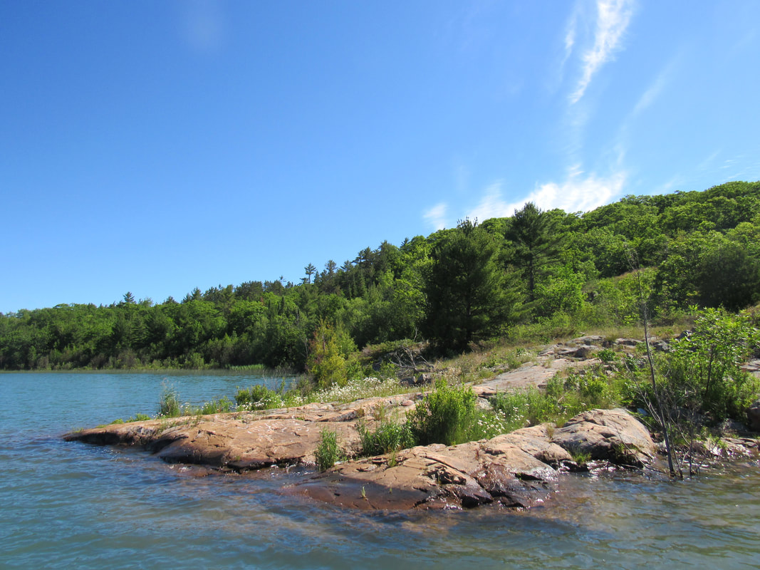
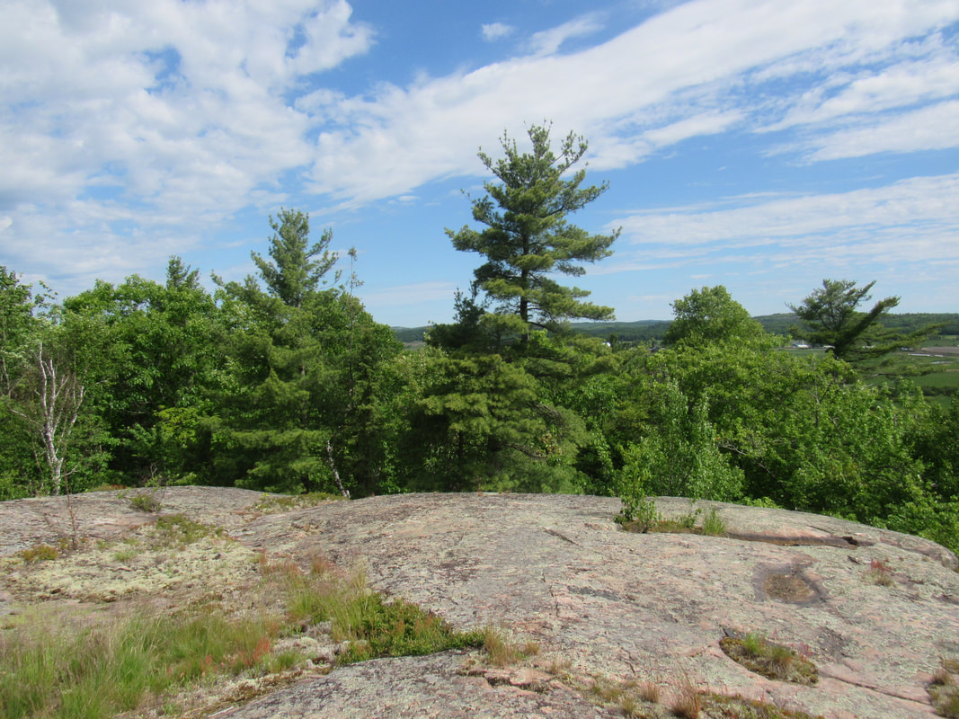
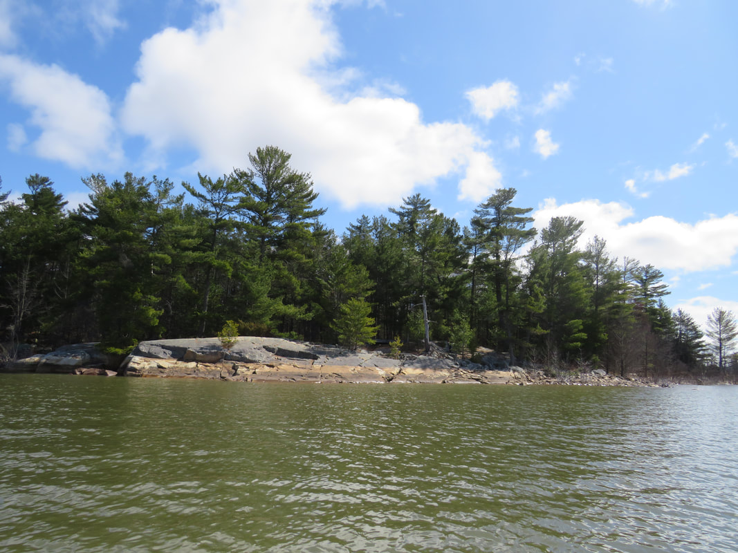
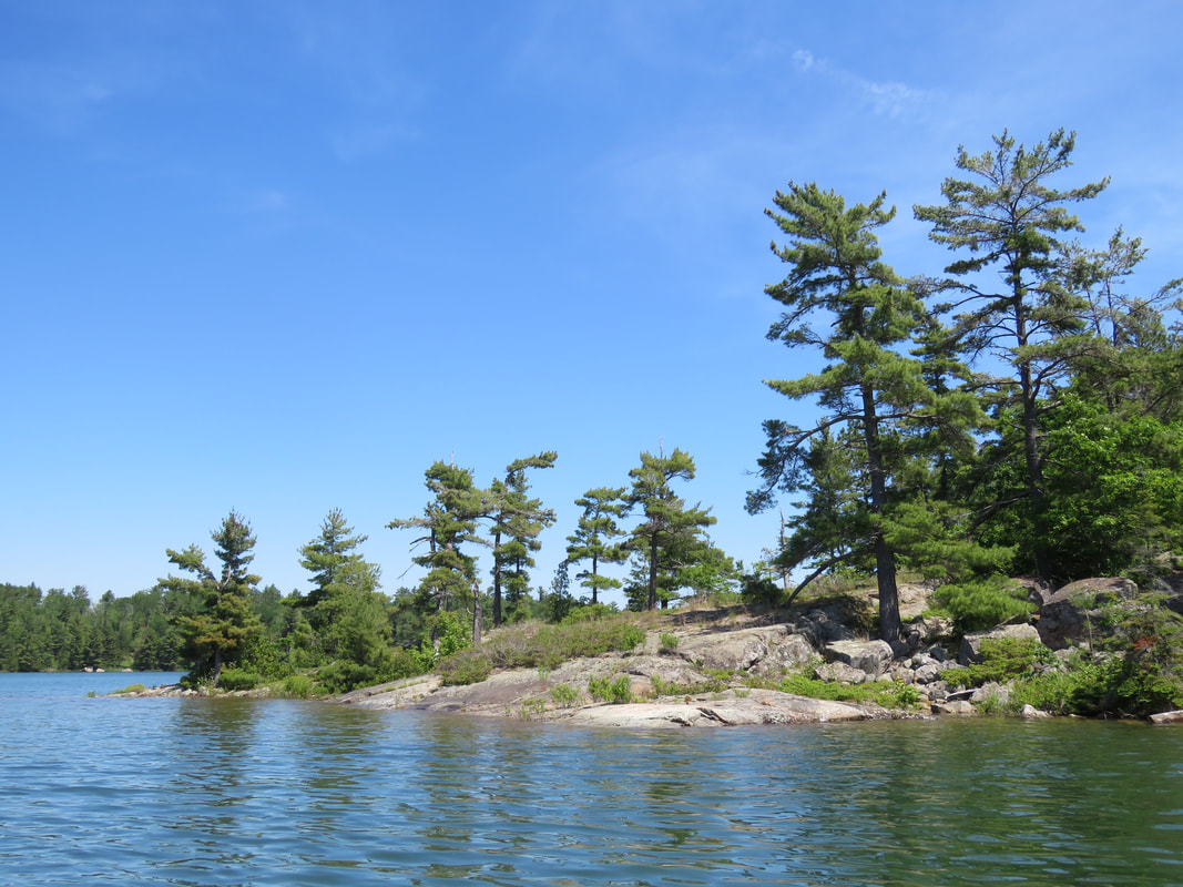
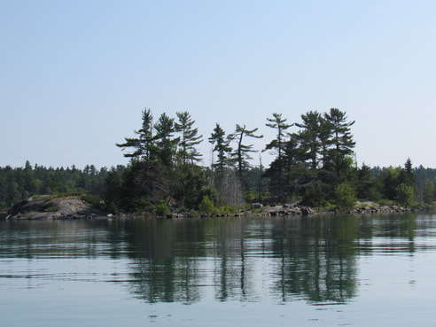
Coatsworth Island is a 28-acre island with 1.28 km (4200 feet) of undeveloped shoreline. It stands as the majestic protector of the Portlock Harbour. It is one of the largest remaining undeveloped islands in the St. Joseph Channel. Thanks to support from the extended Welles Family, The Kensington Conservancy was able to purchase the west half of the island in 2019. In 2021, The Kensington Conservancy was able to purchase the east half of the island, with support from the Phelps Family, ensuring the whole island is protected. The island has scenic rocky areas with signature tall pines along the shore, while the interior is a mixed forest. Osprey and Bald Eagle have been known to nest on the island. Access Details Coatsworth Island Preserve is only accessible by watercraft. Please be respectful of the island's ecosystem when landing your watercraft on the preserve. For more information, please contact us at 705-782-2200 or [email protected]. |
|
Dawson Island Preserve
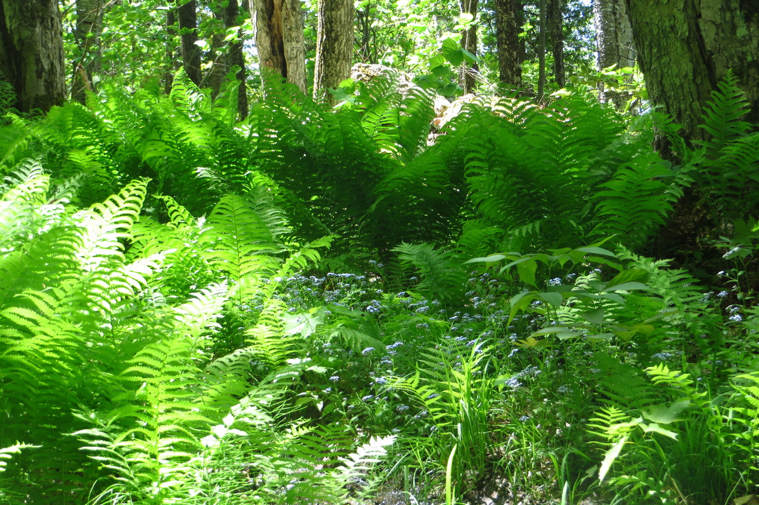
The Dawson Island Preserve is a 4-acre property comprised of two adjacent shoreline building lots on Dawson Island that were donated to The Kensington Conservancy by the Welles family in 2008. Throughout the Great Lakes, undeveloped shoreline is becoming an increasingly rare resource, this property protects 190 metres (625 feet) of undeveloped shoreline. Dawson Island is a 350 acre island in the St. Joseph Channel and crown land makes up 60% of the land on this island. The location of these two building lots, surrounded by crown land to either side, secures an uninterrupted shoreline of 762 metres (2,500 feet), making it a high quality habitat for local deer, birds and other wildlife. Of special interest on this property are the low, wet areas with a well developed community of shrubs, sphagnum moss, and ferns that support many species of warblers and other songbirds. Access Details Dawson Island Preserve is only accessible by watercraft. Please be respectful of the island's ecosystem when landing your watercraft on the preserve. For more information, please contact us at 705-782-2200 or [email protected]. |
|
Phelps Preserve
The Phelps Preserve is a 3.5-acre property with 90 metres (300 feet) of undeveloped shoreline, located on Campement d'Ours Island. Campement d'Ours Island was purchased in the early 1900’s and has since been 100% privately owned. A historical agreement between multiple family owners has preserved much of the island from development. However, the 3.5-acre building lot with no structures remained on the west side of the island. This lot had the potential to breakup a stretch of continuous, undeveloped shoreline. The Phelps family, wishing to ensure continuous protection into perpetuity of the wonderful biodiversity along its shores, donated this lot to The Kensington Conservancy in 2007. It protects a significant stretch of what could have been part of the quickly disappearing scenic beauty along the shores of Lake Huron. Access Details Phelps Preserve is only accessible by watercraft. Please be respectful of the island's ecosystem when landing your watercraft on the preserve. Please ensure you stay within the boundaries of the preserve, as the surrounding land is all privately owned. For more information, please contact us at 705-782-2200 or [email protected]. |
|
Turtle Rock Preserve
Turtle Rock Preserve is a 7.8-acre property with 168 metres (1,550 feet) of undeveloped shoreline along Quebec Bay. This property was named Turtle Rock by its previous owners, as the shape of the peninsula gracefully curves like the back of a majestic turtle rising from the water. It offers scenic views of the St. Joseph Island Bridge to the south and the Wilson Channel to the east. Access Details Turtle Rock Preserve is only accessible to the public by watercraft. Please be respectful of the island's ecosystem when landing your watercraft on the preserve. For more information, please contact us at 705-782-2200 or [email protected]. |
Nature Preserves - Controlled Access
Our goal is for all community members to be able to visit and enjoy each of our nature preserves. However, due to a variety of factors such as ecological sensitively, unsafe terrain, and absence of established parking for vehicles, we ask that you contact us if you would like to visit to the following nature preserves.
|
Archibald Homestead
The Archibald Homestead is a 169-acre property with 2.2 km (7,300 feet) of protected shoreline. This property, established in the 1900’s as a successful working farm, was in the Archibald family for almost 100 years. However, over time, the property suffered deterioration of its ecological health brought on by inappropriate land development. The Kensington Conservancy was concerned about the impacts on the neighbouring natural landscape and watersheds. In 2008, The Kensington Conservancy decided to purchase the property and restore it to its historical condition. After an extensive environmental cleanup, the property was returned to its natural beauty. With beautiful undeveloped shoreline, marshes, wetlands, as well as beautiful farmlands, this property is a perfect place to walk and enjoy nature. It is again a safe and beautiful natural landscape for birds and wildlife. Access Details Due to restrictions on the private road that goes through the preserve (which is not owned by The Kensington Conservancy), the road cannot be used to allow public access. Those who have purchased an annual parking pass (for accessing boat access only cottages) may use the road and parking lot as per terms of the pass. Due to the unique road restrictions, please contact us at 705-782-2200 or [email protected] if you wish to access this preserve. |
|
Black Hole Preserve
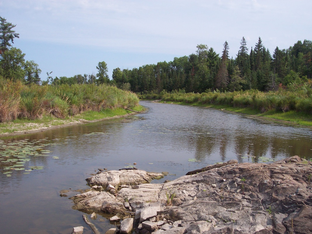
The Black Hole Preserve is a 206-acre property with 280 metres (925 feet) of undeveloped shoreline that was donated to The Kensington Conservancy in 2011. The name of this magnificent place seems to bring it a dark spooky image; however, nothing could be further from the truth. This area opens to Lake Huron though Anderson’s Bay. The Anderson Bay watershed supports magnificently diverse ecosystems. The dramatic head of this marsh, with a narrow cut through the bedrock plugged by a beaver dam, makes the site all that more impressive in beauty and diversity. While direct development is not currently an issue for this property, the impacts of neighbouring development and land use, and non-native species have threatened the health of this amazing place. Access Details Due to the sensitive ecosystems on this nature preserve and absence of established parking for vehicles, please contact us at 705-782-2200 or [email protected] if you wish to access this preserve. |
|
Lang Family Preserve
This uniquely shaped, 9-acre property was donated to The Kensington Conservancy by the Lang Family in 2015. The property is located on Kensington Road, just west of Desbarats. It is important to protect this property as it contains a small portions of the Kensington Complex, one of the area's Provincially Significant Wetlands. Most of the property is a mature forest consisting of both deciduous and coniferous trees. Access Details Due to the absence of established parking for vehicles, please contact us at 705-782-2200 or [email protected] if you wish to access this preserve. |
|
Ripple Rock Preserve
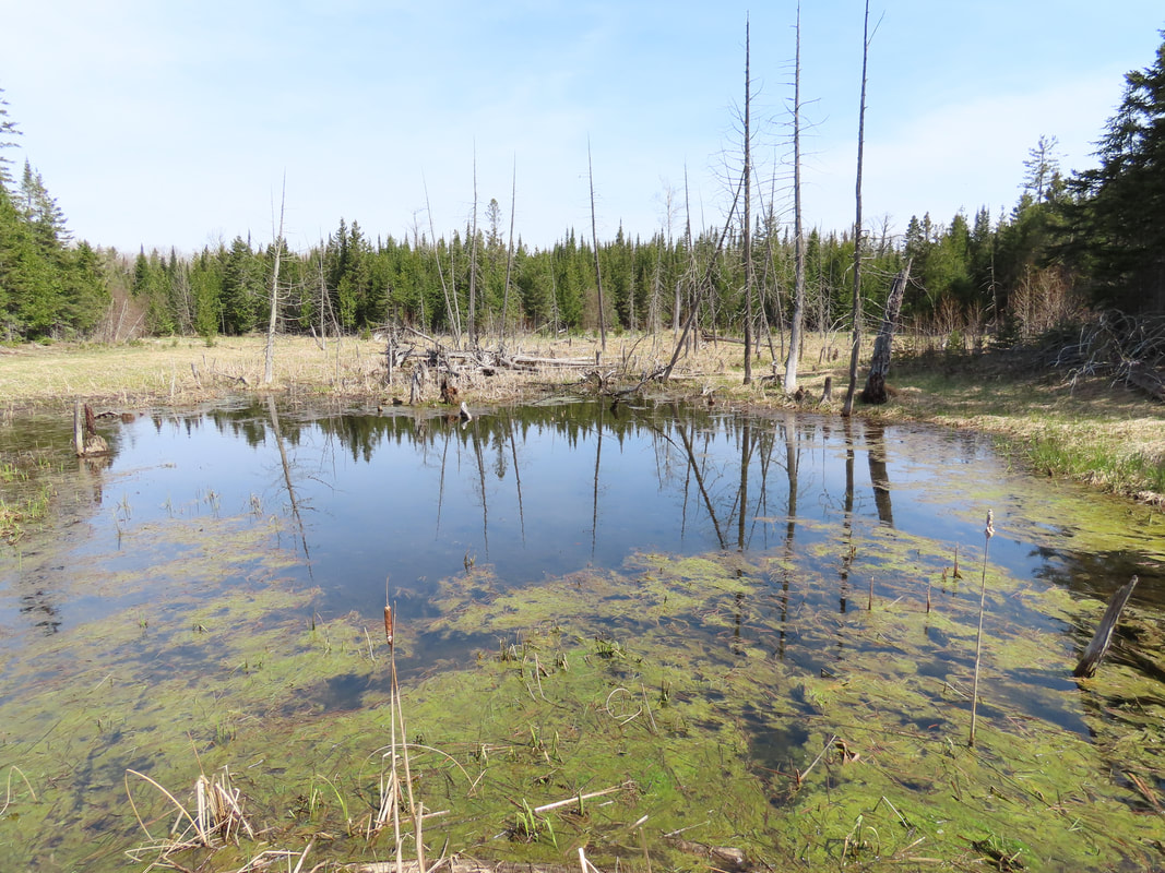
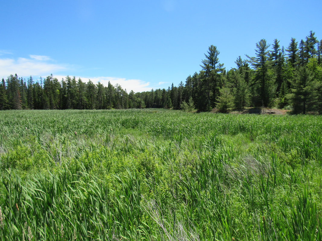
The Ripple Rock Preserve is a 195-acre property that was donated to The Kensington Conservancy in 2012. This property is perhaps the roughest and hardest to traverse of any that the conservancy manages. Were it not for Highway 17 bisecting it, it would only rarely been seen by human eyes. It is surrounded in the north and south by thick forest; copious amounts of balsam fir ensure that people think twice about trying to push their way through. Close to a third of this property is wetland, a mix of open water, swamp and dense cattails and reeds. In the southern half is large beaver pond untouched by human influence and it's glassy surface stands in contrast to the noisy highway less than a kilometre away. Because it is so difficult for humans to travel on most of this property, it is a haven for wildlife; large mammals in particular. Few places like this remain so close to Lake Huron, making Ripple Rock an important corridor for animals of the region. Access Details Due to the sensitive nature of the ecosystems, unsafe terrain, and the absence of established parking for vehicles, please contact us at 705-782-2200 or [email protected] if you wish to access this preserve. |
|
Stobie Creek Preserve
The Stobie Creek Preserve is an 83-acre property with 583 metres (1765 feet) of undeveloped shoreline that was donated to The Kensington Conservancy in 2008. Located to the immediate west of Stobie Creek, this property, held by the same family for more than 60 years, was donated to protect its rich natural biologically diverse ecosystems. The Stobie Creek Preserve has old growth forest containing large maple, oak and pine. Its designated Provincially Significant Wetland forms the mouth of the Stobie Creek. The Kensington Conservancy has introduced control measures and monitoring of purple loosestrife for this wetland complex within its management plan for the property. Access Details Due to the sensitive nature of the ecosystems, unsafe terrain, and the absence of established parking for vehicles, please contact us at 705-782-2200 or [email protected] if you wish to access this preserve. |
Conservation Easements
A conservation easement agreement is a legally binding agreement with a landowner to protect the property for conservation purposes. The Kensington Conservancy does not legally own these properties and therefore cannot grant permission to access them.
|
Fishnet Island Easement
Fishnet Island is a small, 2-acre island located immediately east of Plummer Island, which is just south is Portlock Island in the St. Joseph Channel. The island was placed under a conservation easement in 2013, which will protect it in perpetuity. Fishnet Island is home to many different bird species. Gulls, terns, cormorants and sandpipers are often seen using the shoreline. Songbirds and sparrows can be seen among the trees on the island. Despite its small size, there still is a diverse amount of plant species on the island. Pine trees are the predominant tree species on the property. Access Details The Kensington Conservancy holds a conservation easement on this property and does not own it, therefore no access can be permitted without consent from the landowner. Please contact us at 705-782-2200 or [email protected] if you require more information, but please understand that we may not be able to disclose landowner contact information directly to you. |
|
Hole in the Wall Easement
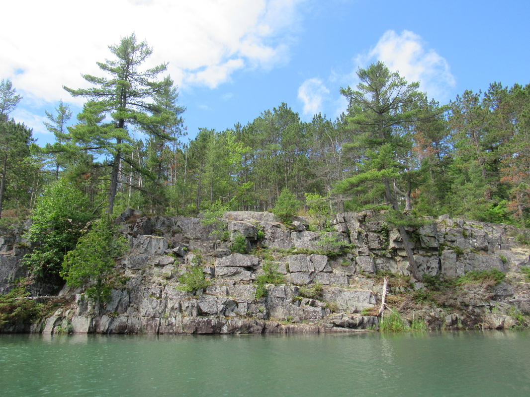
Just to the south of the Ripple Rock Preserve is the Hole in the Wall Easement. This 75-acre property was placed under a conservation easement in 2013 and is named for the large pond it contains that connects to Lake Huron. This pond is surrounded on three sides by rock faces and cliffs, giving it the appearance of a hole dug into the landscape. Just above the pond is a wetland complex called Sunset Lake. This wetland is a beautiful mixture of marsh, bog and swamp and due to this unique mixture, it has the most diverse plant community of any of our wetlands. The Hole in the Wall is an important property as it connects to another large parcel of protected land in the Ripple Rock Preserve. This contributes to our goal of providing protected corridors for the area's wildlife. Access Details The Kensington Conservancy holds a conservation easement on this property and does not own it, therefore no access can be permitted without consent from the landowner. Please contact us at 705-782-2200 or [email protected] if you require more information, but please understand that we may not be able to disclose landowner contact information directly to you. |
