The Kensington Conservancy
  • Home
  • Land Protection
    • Where We Work
    • Protected Properties
    • Protection Options
    • Projects
    • Hiking Trails >
      • Foster Parkland and Walking Trails
      • Gravel Point Preserve
    • What You Can Do
  • Membership & Giving
    • Membership
    • Donations
    • Corporate Sponsorship
    • Legacy Circle
    • Tribute Gifts
    • Donor Account Login
    • Merchandise
    • Use AmazonSmile
    • TKC Membership Directory
  • Get Involved
    • Subscribe
    • Events
    • Events Calendar
    • Boat Naming Contest
    • Volunteer
    • Community Science Programs >
      • Bat Program
      • Water Quality Monitoring
      • Rusty Blackbird Surveys
      • Submit Your Sightings
      • iNaturalist
      • Christmas Bird Count
    • Annual General Meeting
    • TKC Junior Explorers
    • Explorer Summer Day Camp
    • Webinar Series
    • Sustain Algoma Expo
  • About & Contact
    • Contact Us
    • About Us
    • Media >
      • Annual Reports
      • Stories from the Field
      • Pictures & Videos
      • Social Media
    • Opportunities

Virtual Tour: Lang Family Preserve

25/5/2020

2 Comments

 
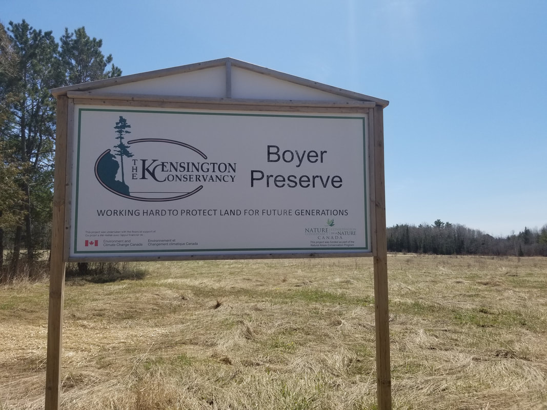
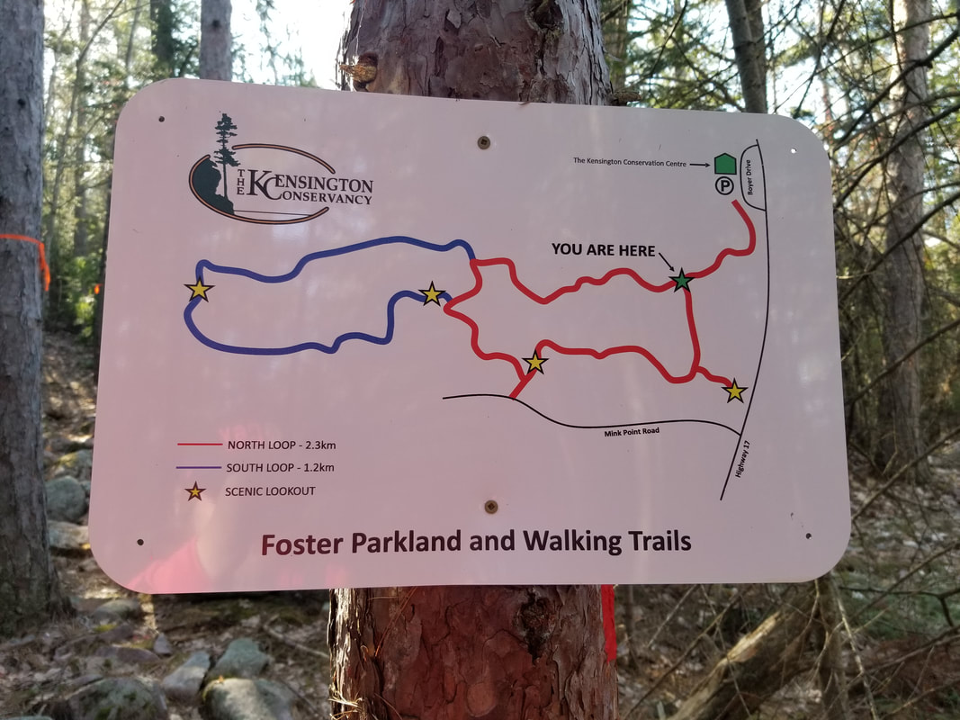
The Lang Family Preserve is a relatively small property compared to many of the other properties that The Kensington Conservancy protects. It was donated to TKC by the Lang Family in 2015.

This uniquely shaped property is 8.7 acres in size, but it helps protect a much larger area than that. The Kensington Complex is a series of wetlands in the Desbarats area that are classified as provincially significant. The shape of the Lang Family Preserve could prevent harmful development in the wetland it limits the accessibility of the portions of the wetland beyond this property.
Picture
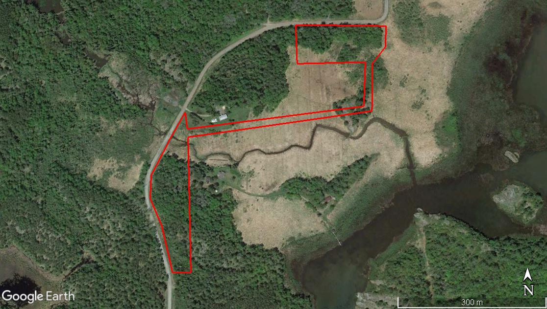
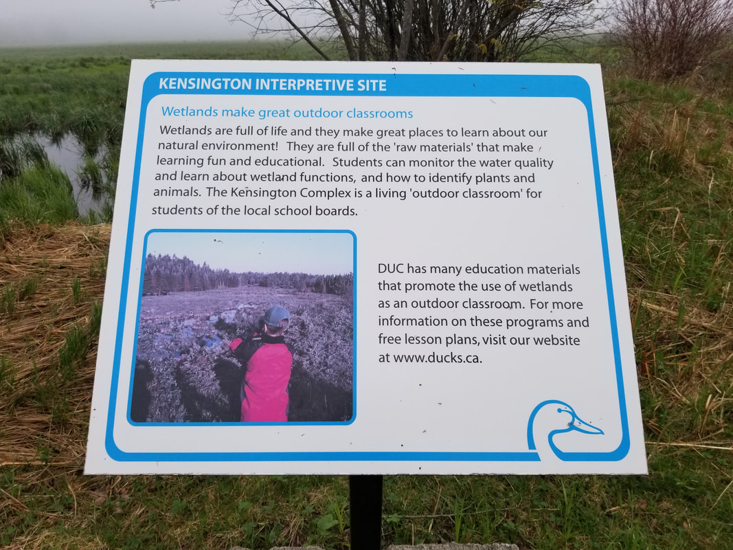
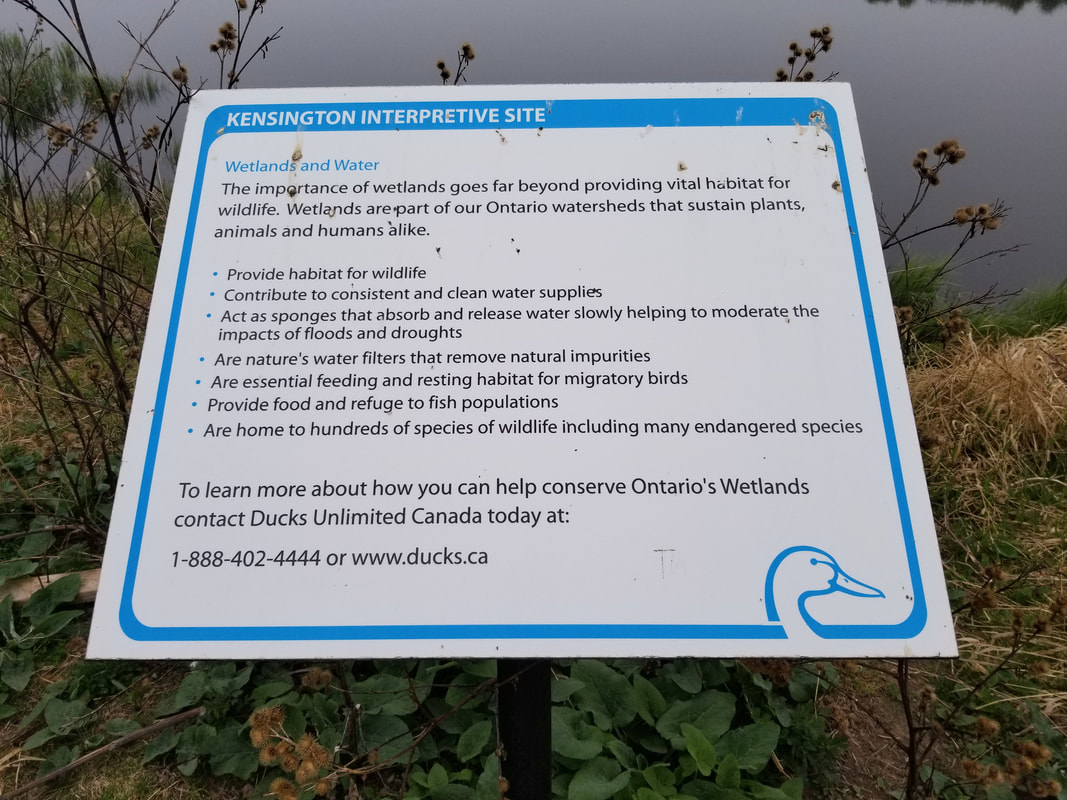
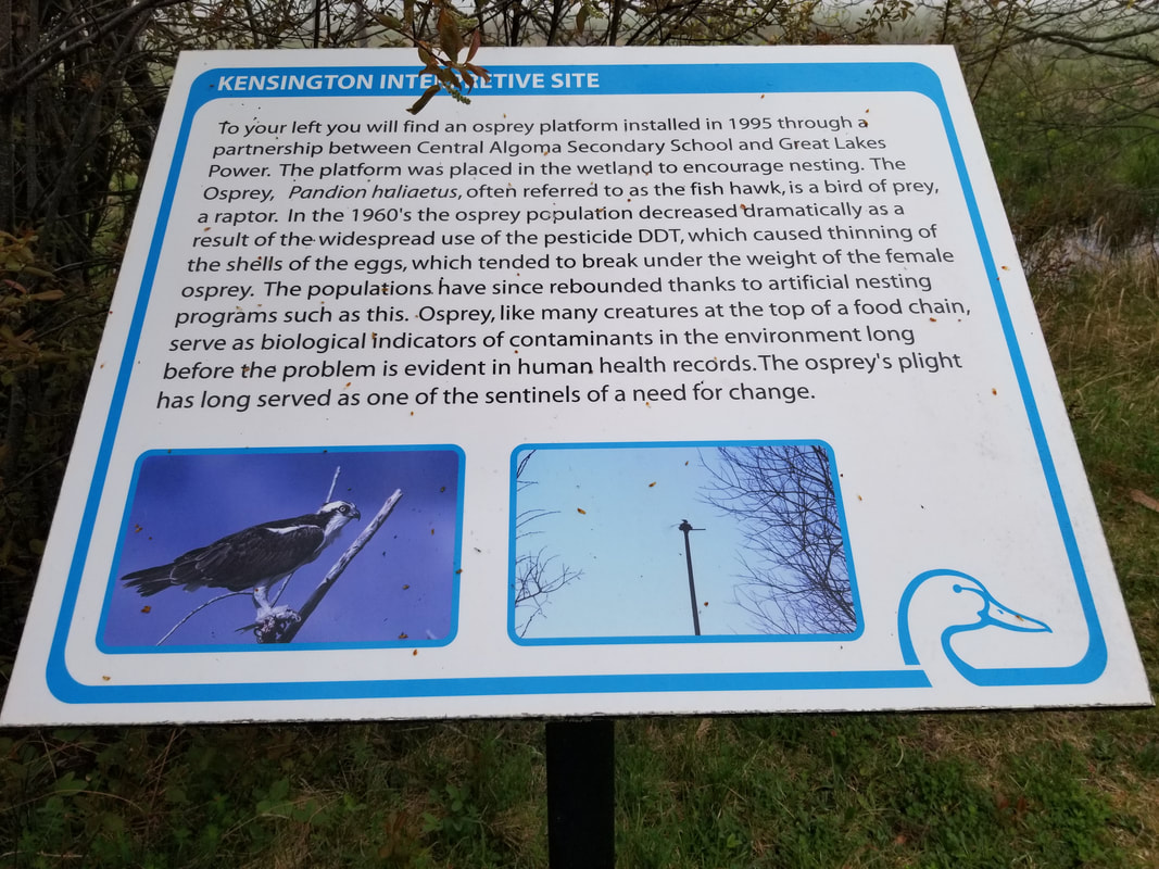
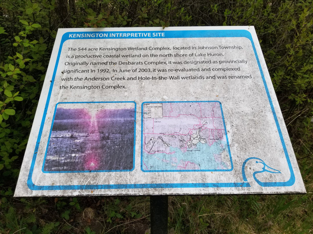
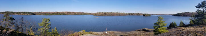
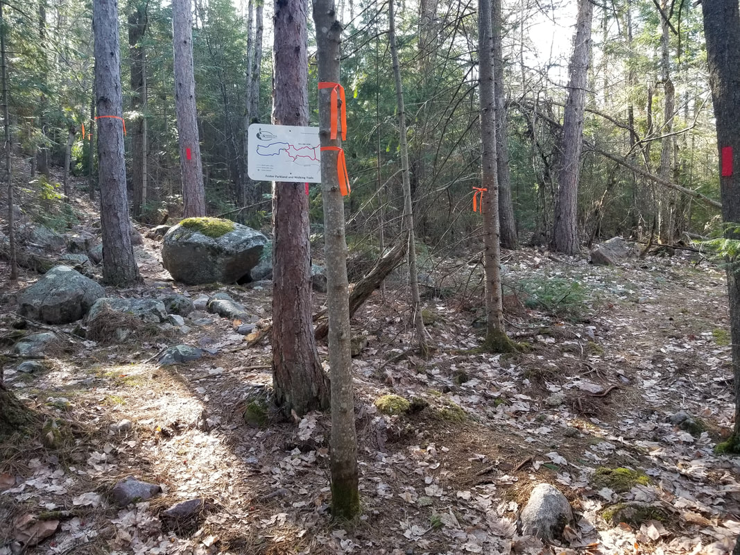
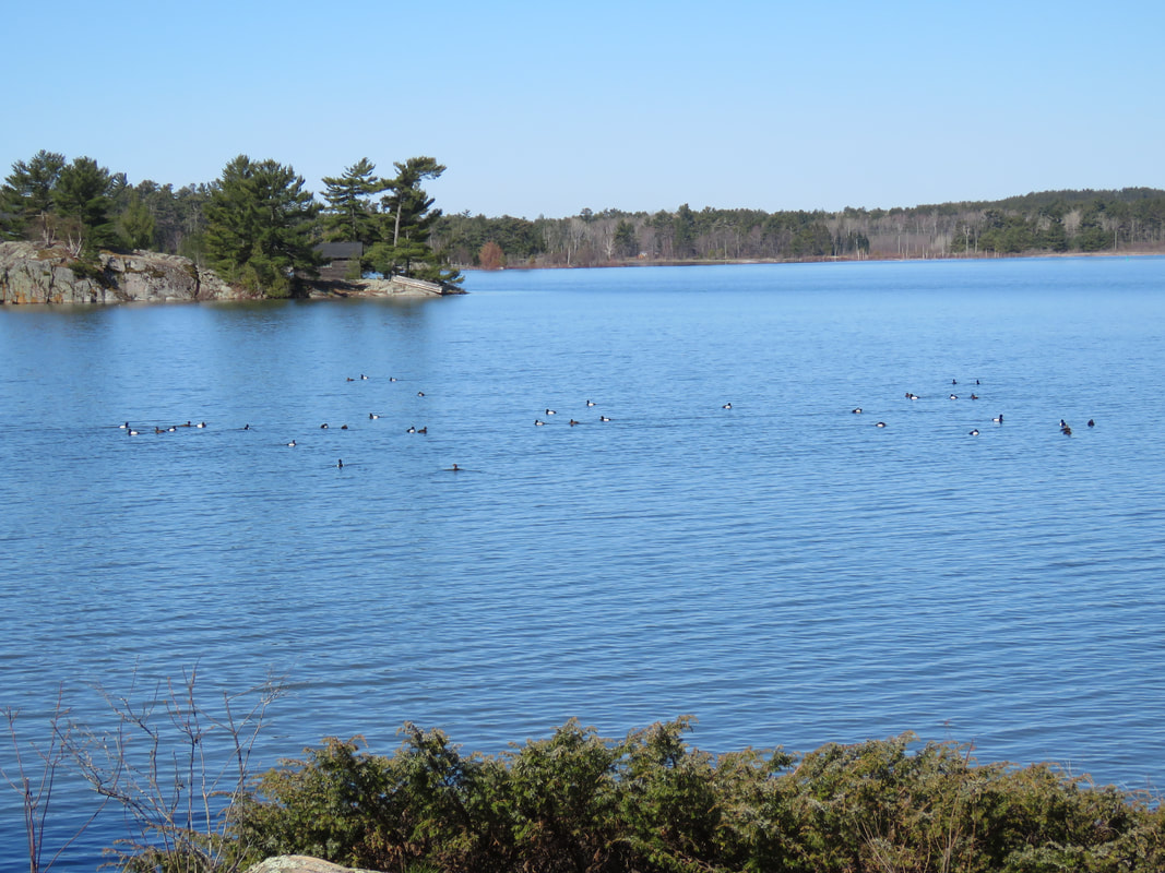
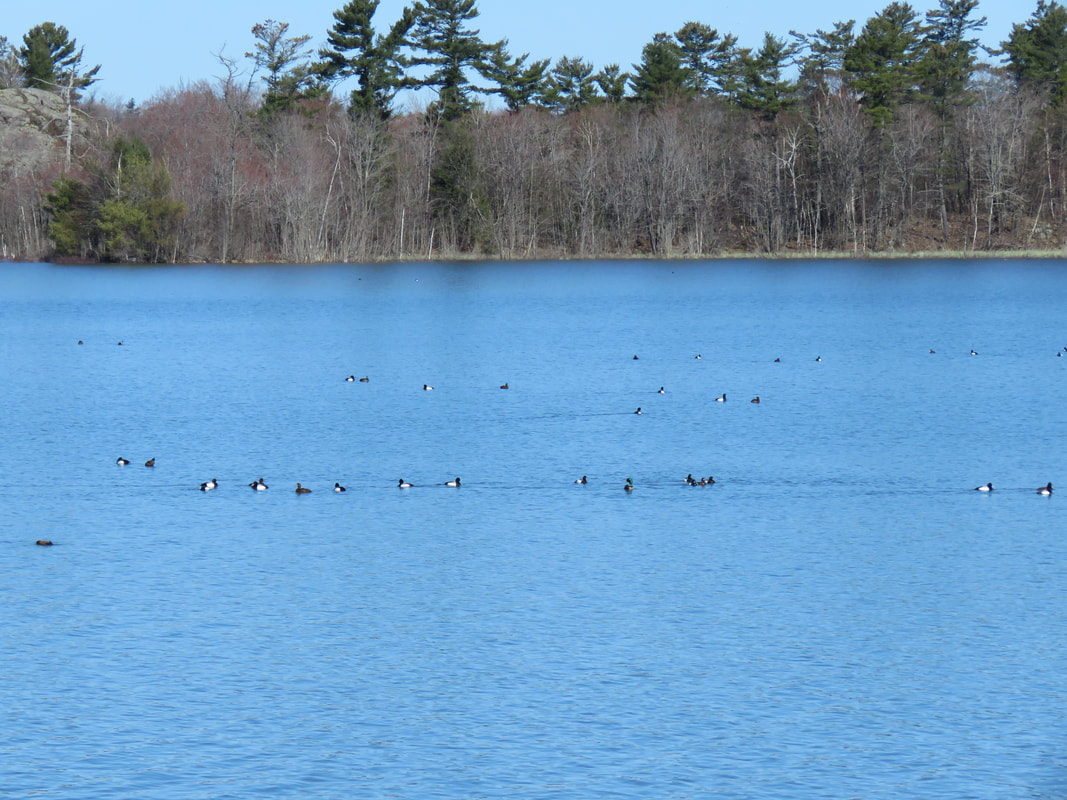
Before actually visiting the Lang Family Preserve, I went to get a good view of the Kensington Complex from the viewing platform at Central Algoma Secondary School. Ducks Unlimited put up some interpretive signs up at the site. Click on each photo below to learn more about the Kensington Complex and why wetlands are important! 
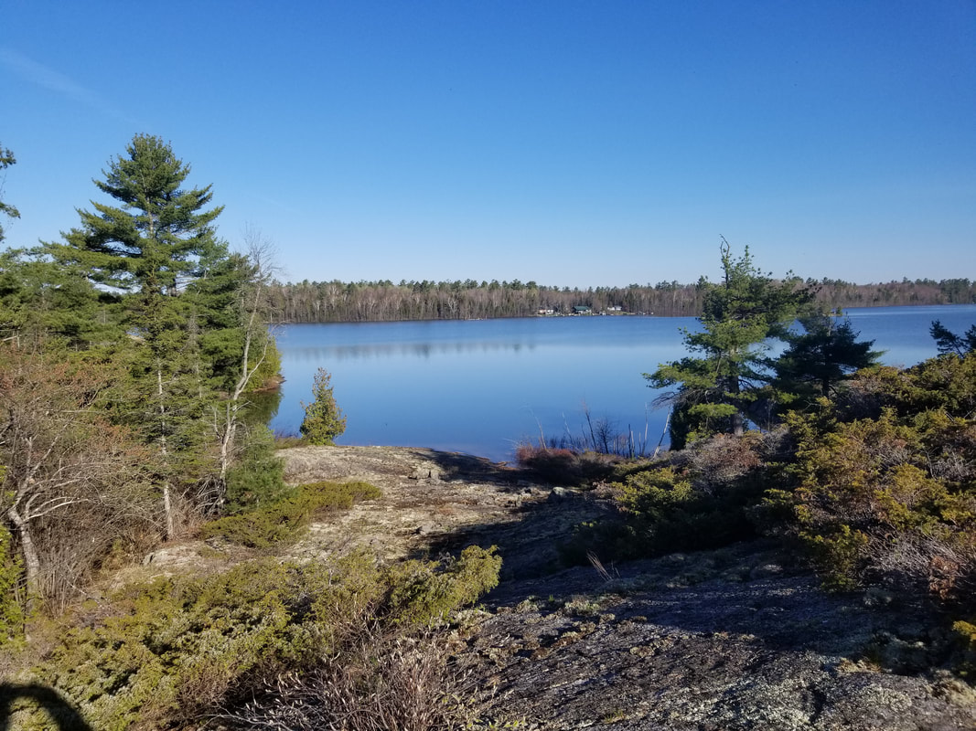
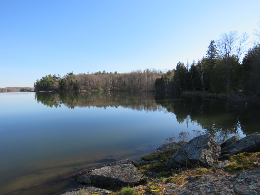
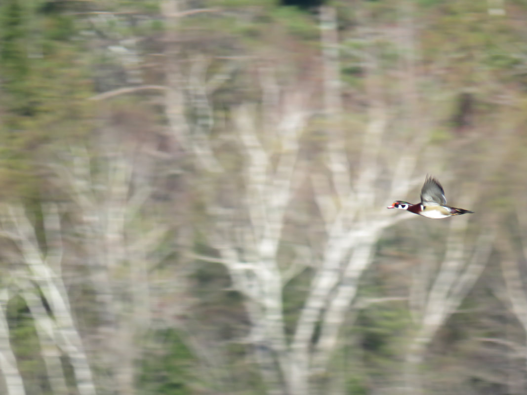
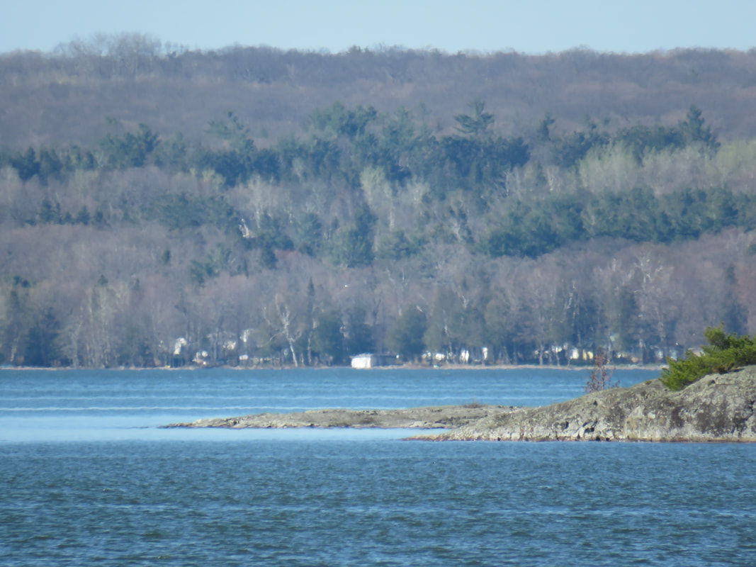
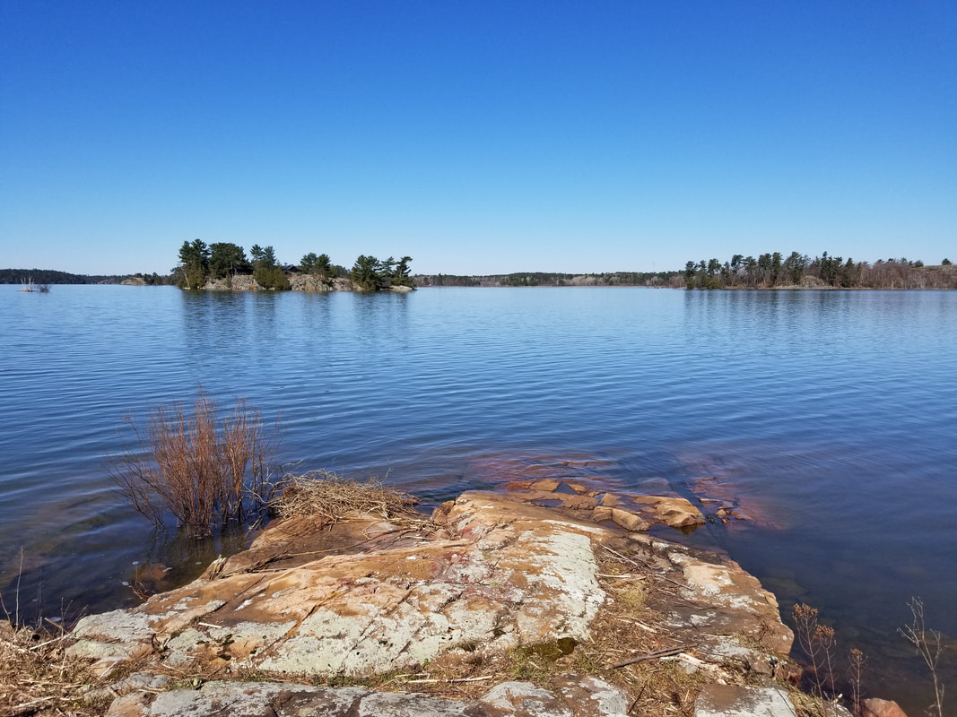
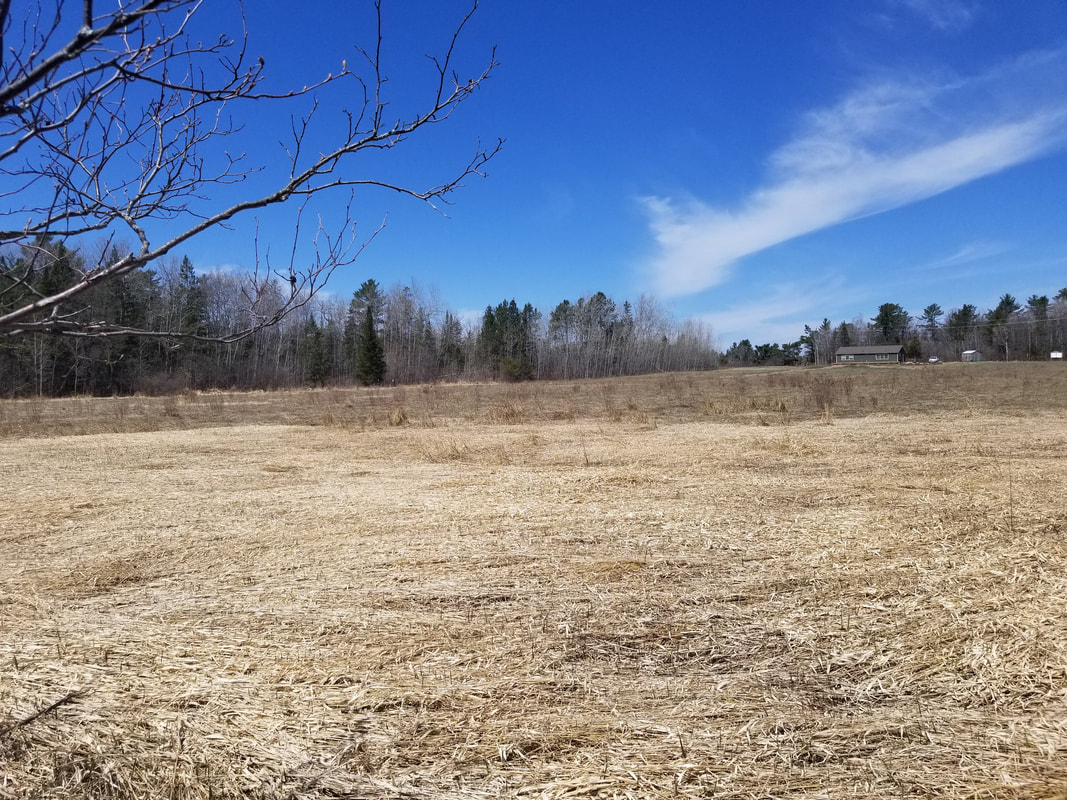
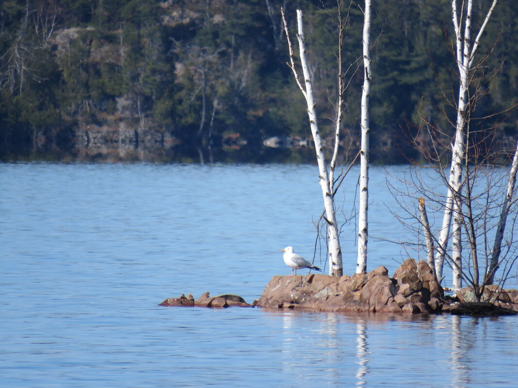
Here is the view from the platform. The Lang Family Preserve is off in the distance of the first photo. The creek that runs through this wetland is known as Sucker Creek. It flows from northwest of Desbarats. It's the same creek as the one you cross over on Government Road just west of Desbarats.

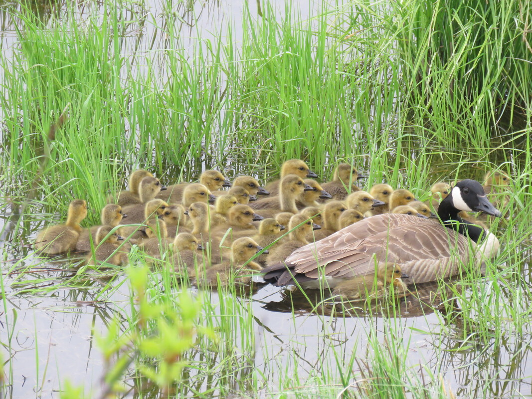
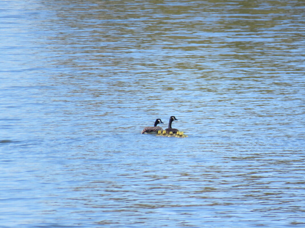
​Look how many goslings were together here at the platform! Sometimes, multiple broods will aggregate together, which is what happened here. There were another set of adult Canada Geese nearby in addition to the two who were right with these 30+ goslings.
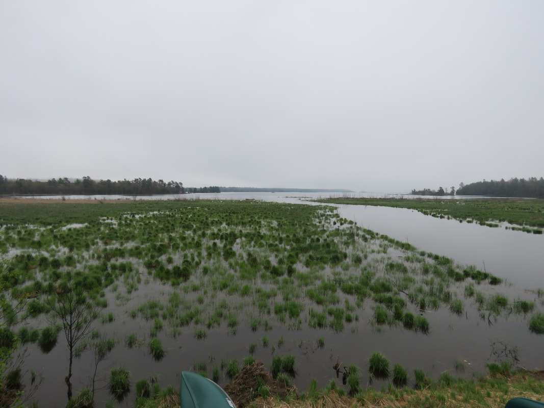
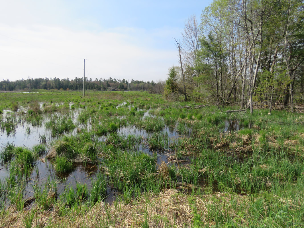
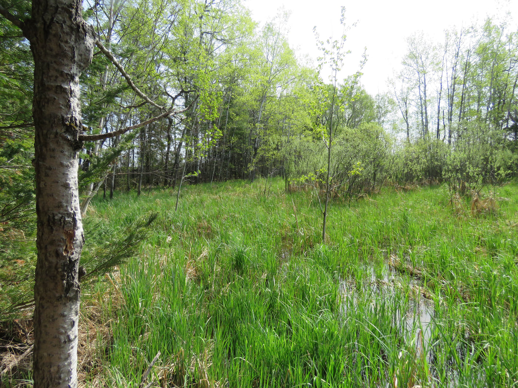
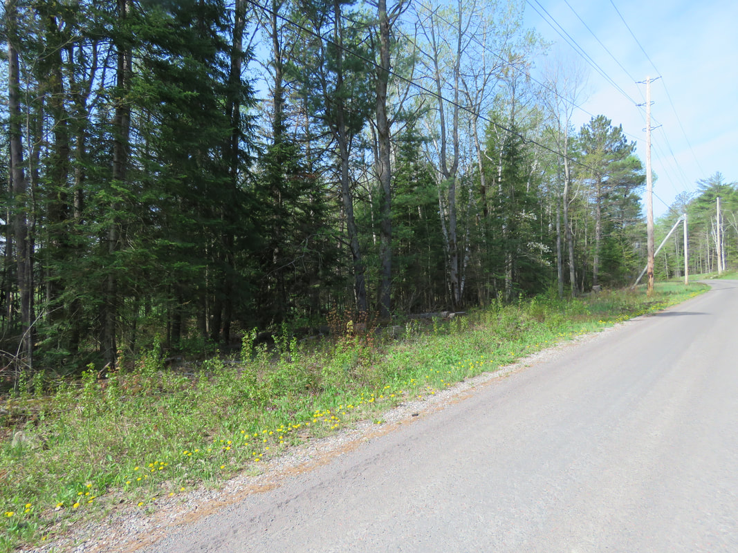
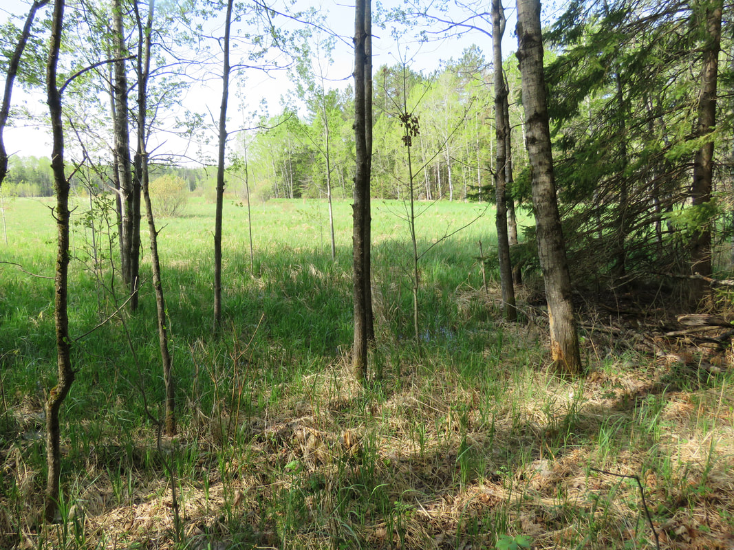
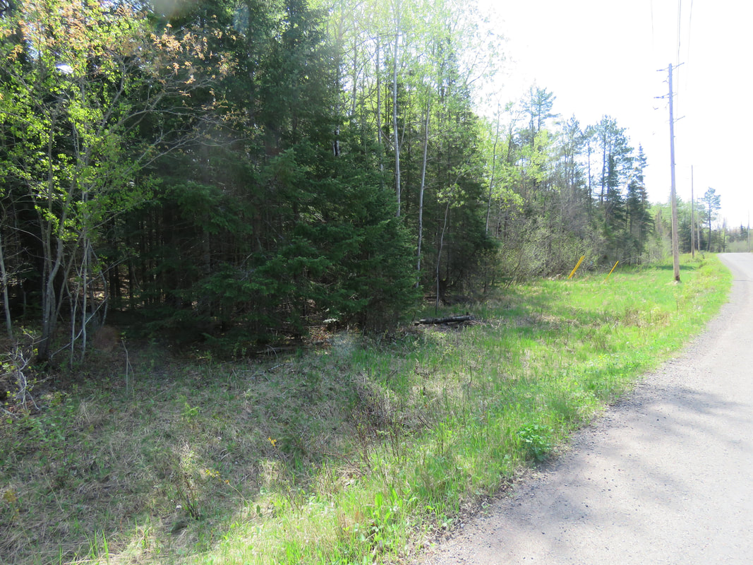
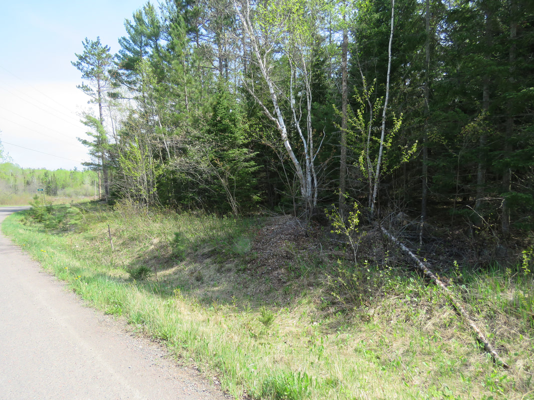
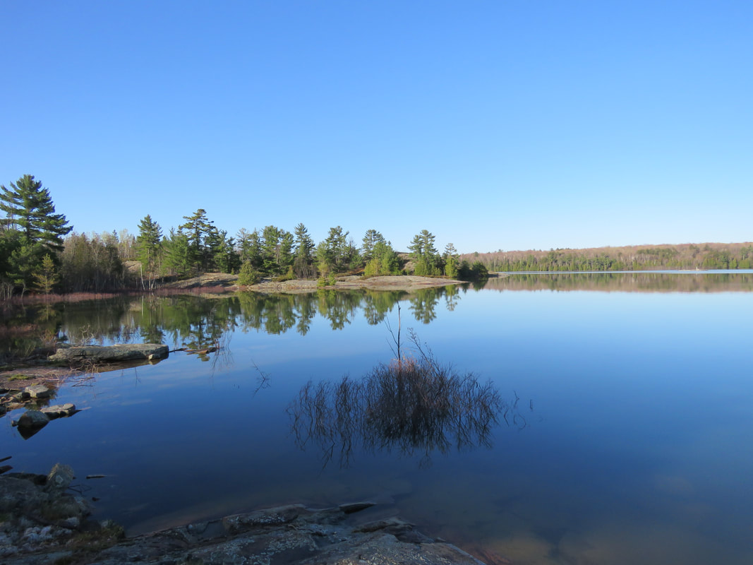
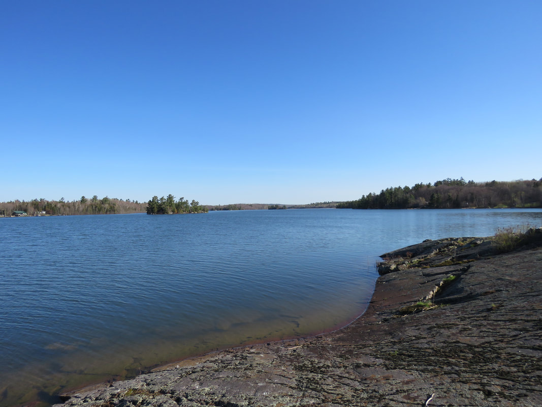
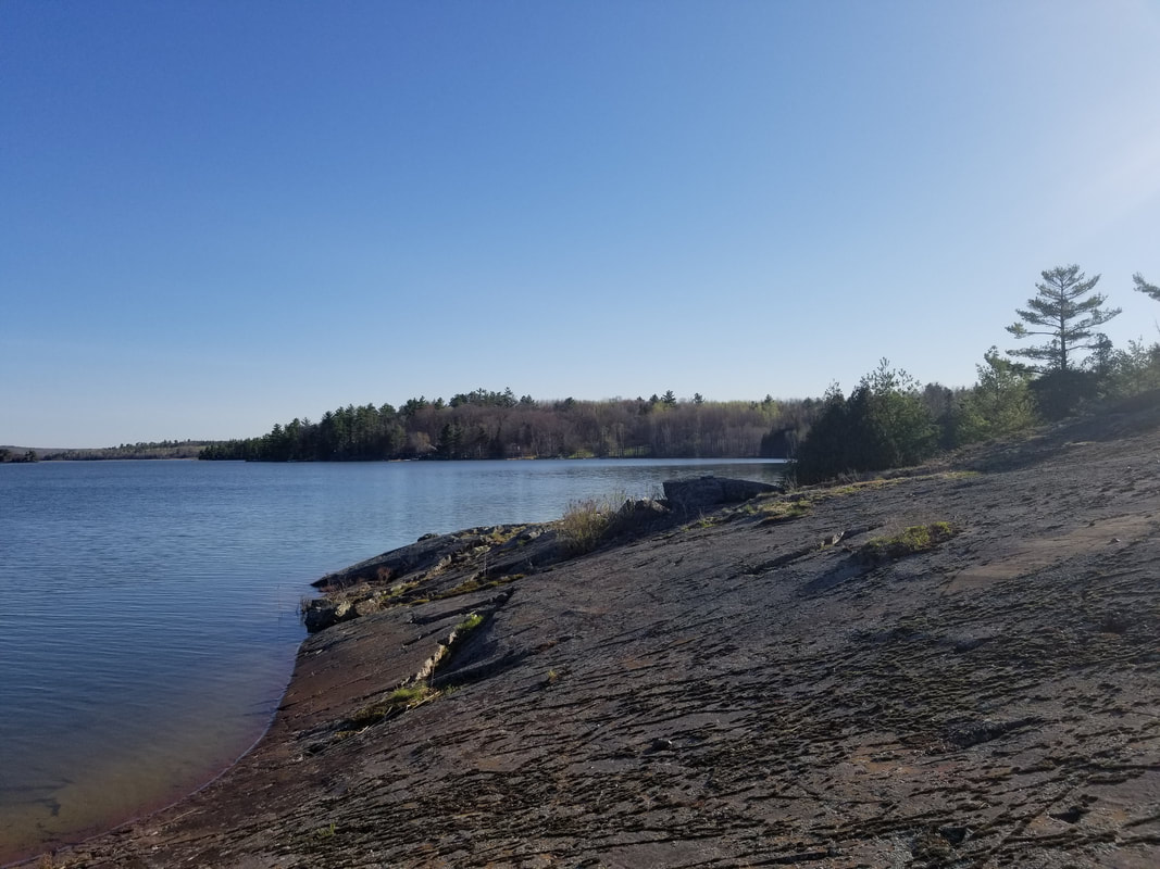
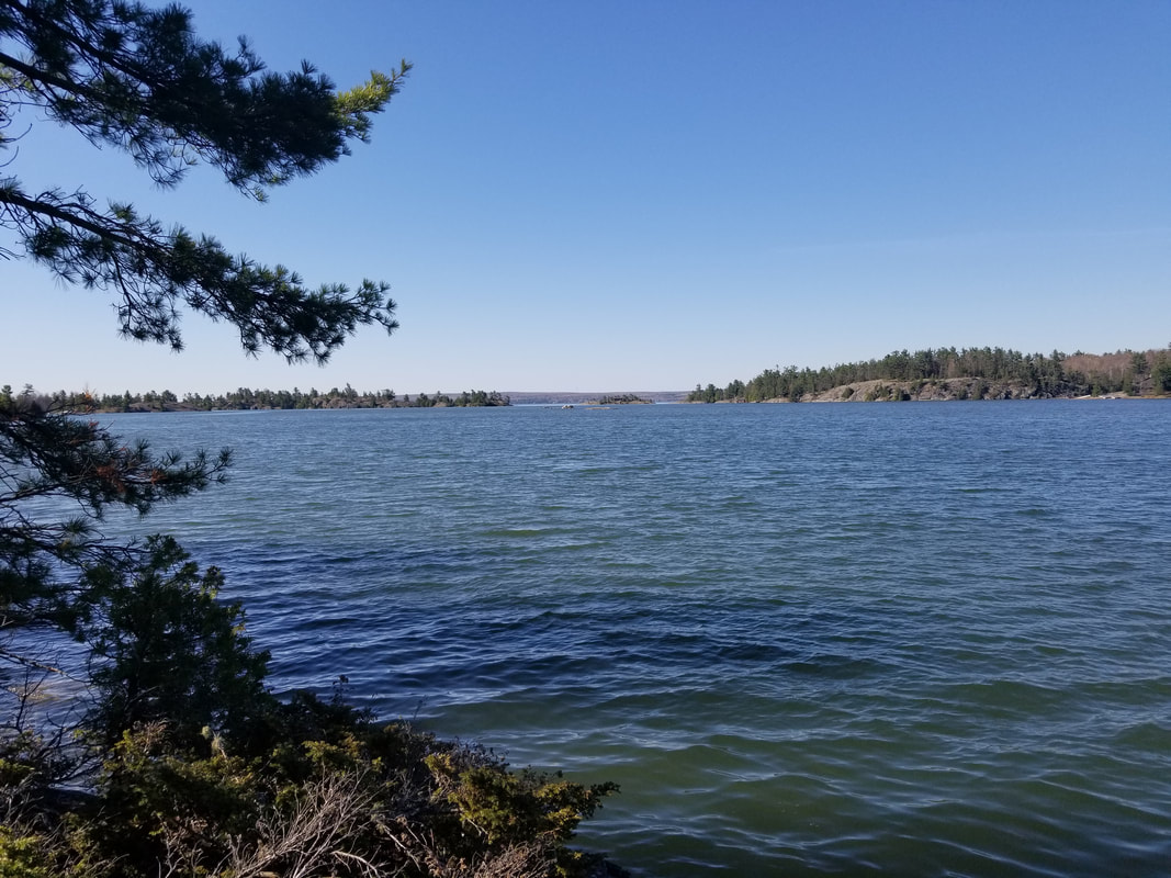
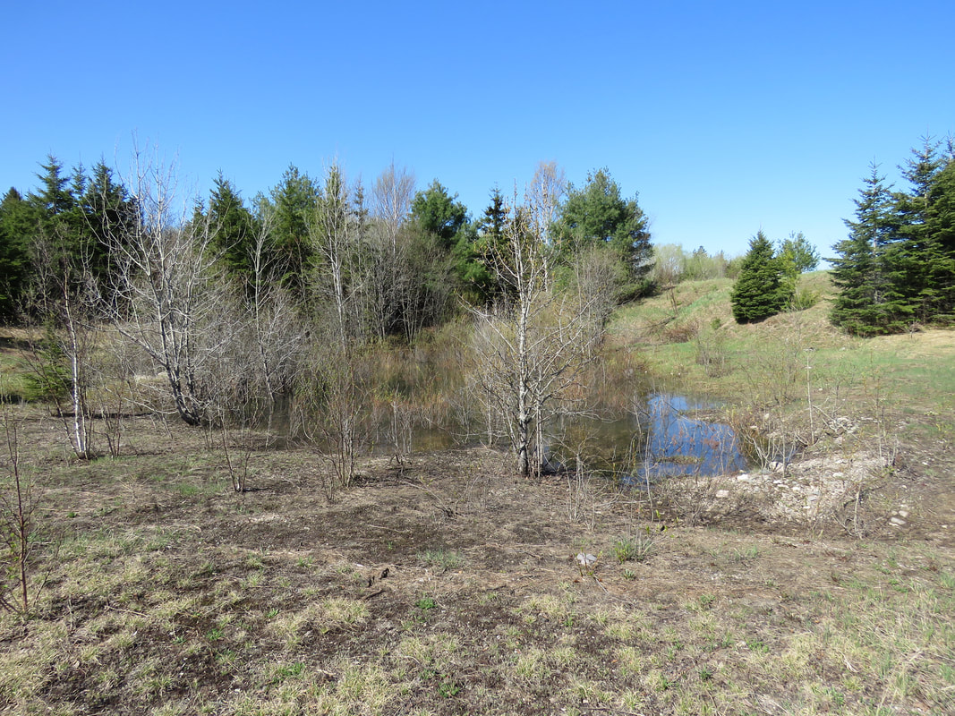
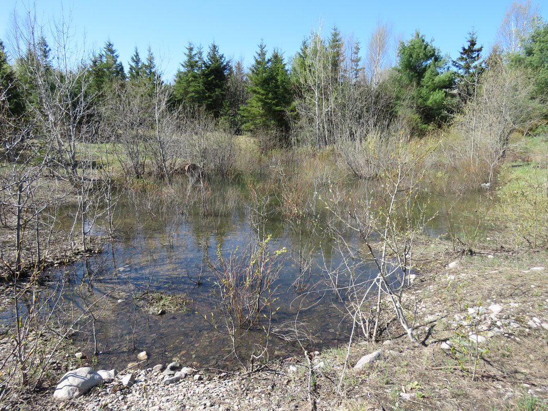
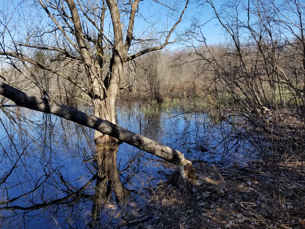
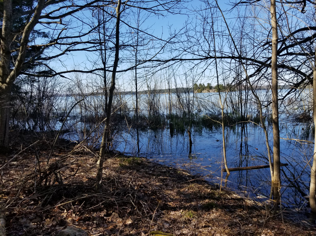
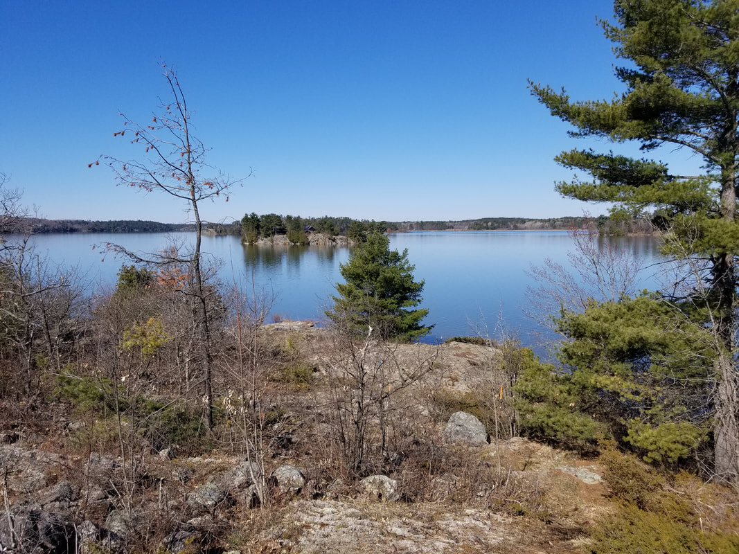
The fog actually got worse after this, so I headed back to The Kensington Conservation Centre to do some things there, then headed back once the sun finally came out. The first photo below is the view from the sharp 90-degree corner on Kensington Point Road. The second photo is from just inside the short treeline from the road. The water levels in Lake Huron are very high again this year, which is evident by the amount of water that can be seen here. Just a couple years ago, I would've been able to explore this area with running shoes and stay dry. Now, even rubber boots might not have been enough!
Picture
Picture
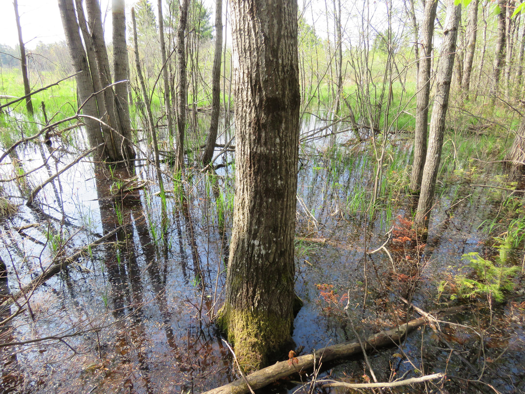
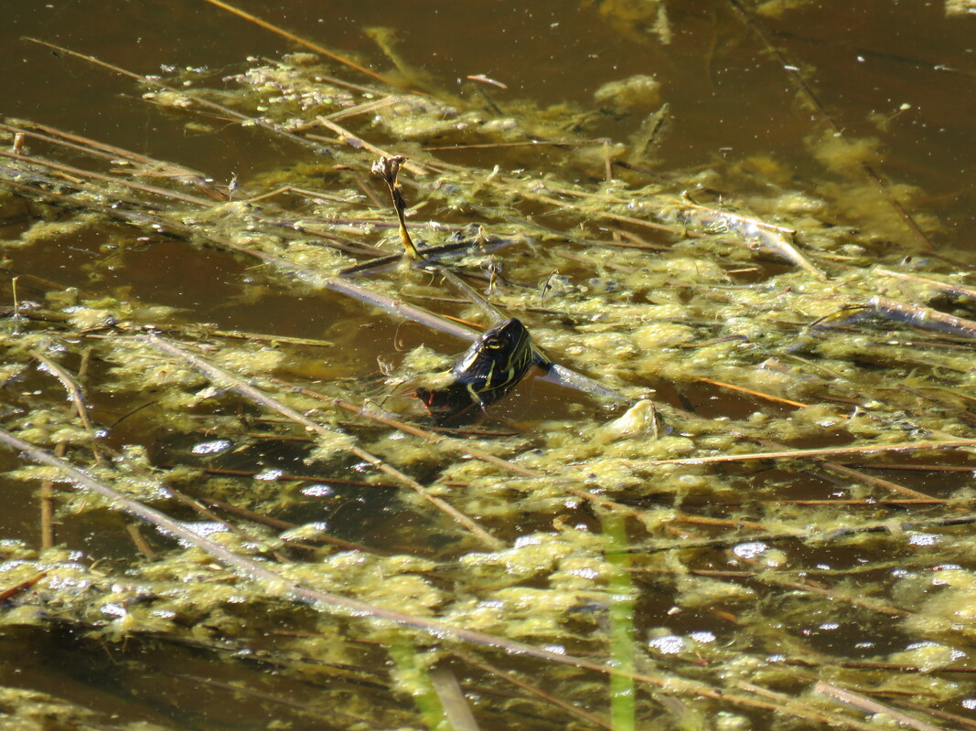
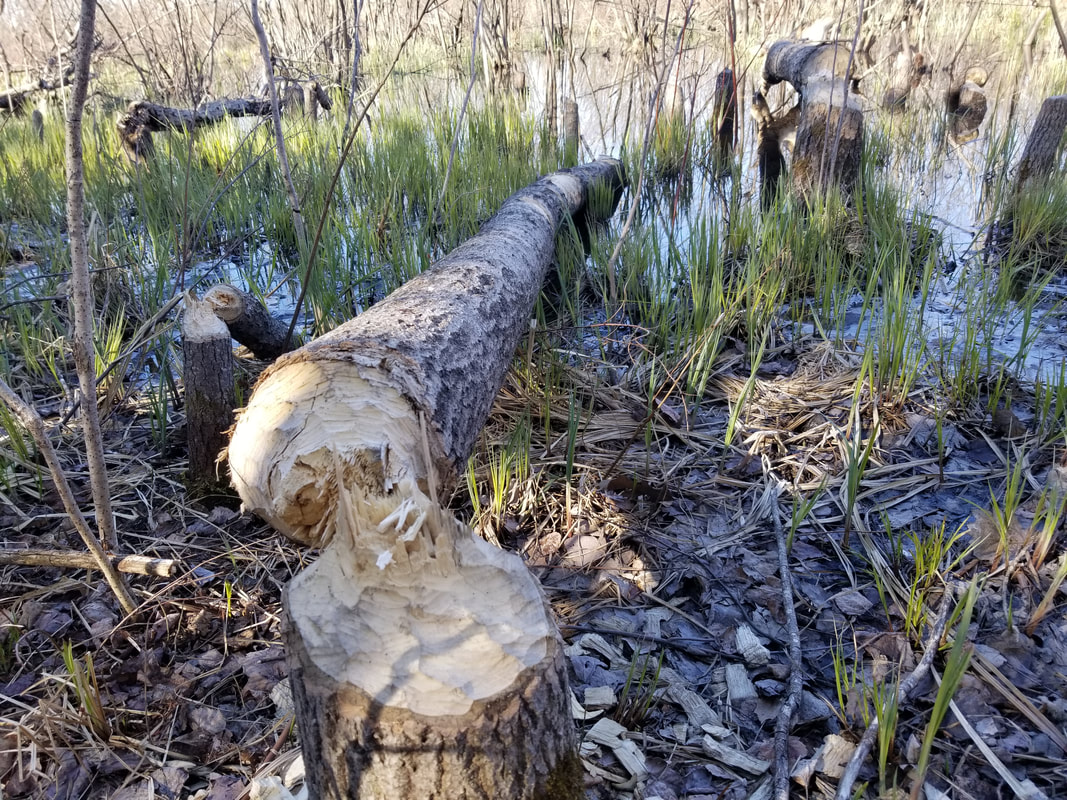
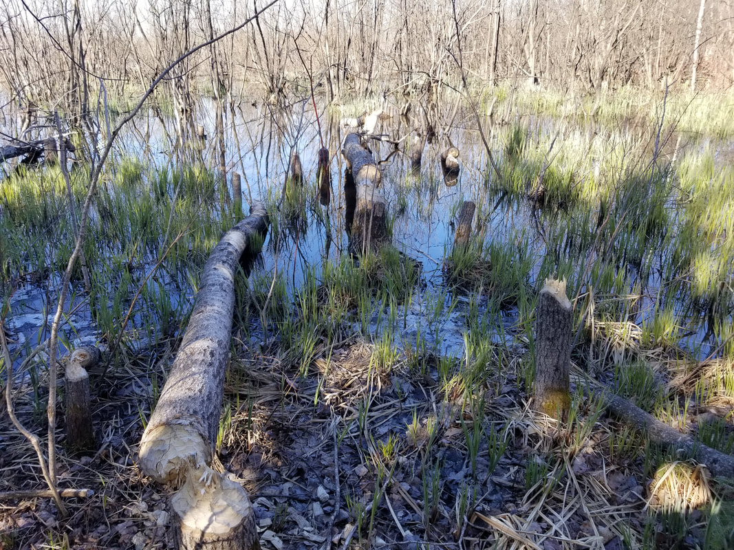
As I approached this wet area, I spooked an American Bittern out of it. It landed not too far away and started calling, but unfortunately, not within sight. I also saw an Eastern Garter Snake, but it slithered into the water before I could get my camera up. It'll be interesting to see how these trees here react to the high water. In other locations, I've noticed that trees have died or are at least really struggling with all this water. The beavers have also moved in with the high water and have started taking trees down.
Picture
Picture
Picture
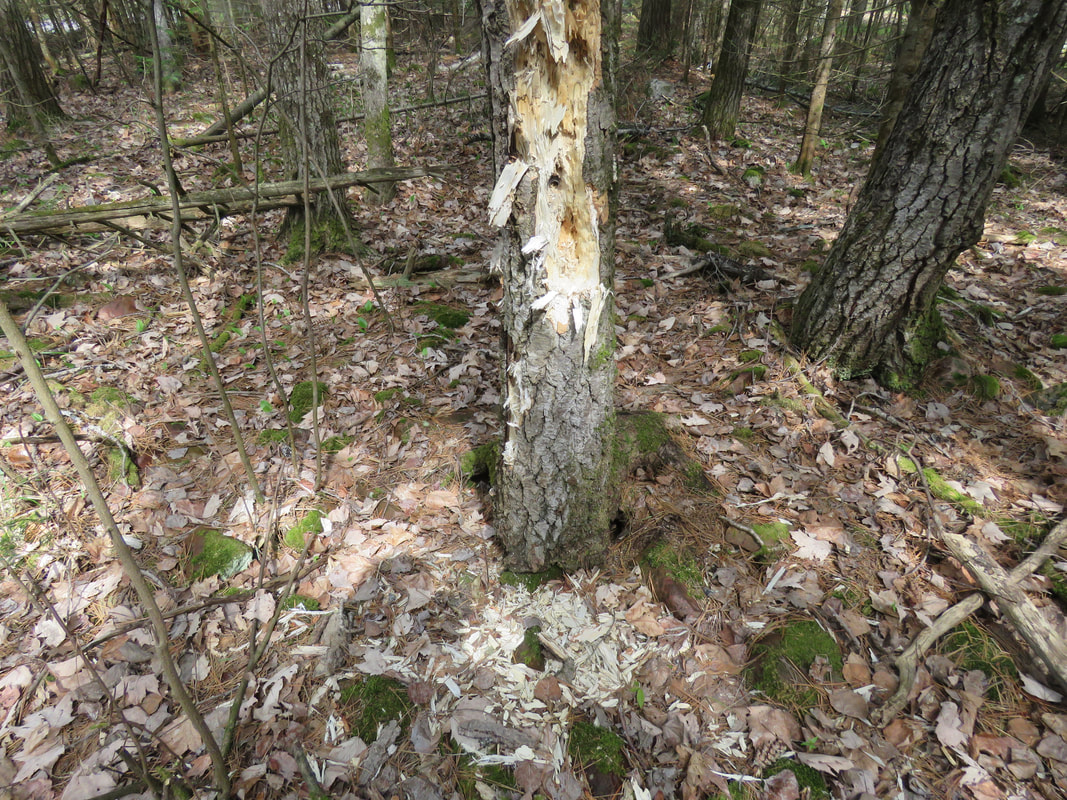
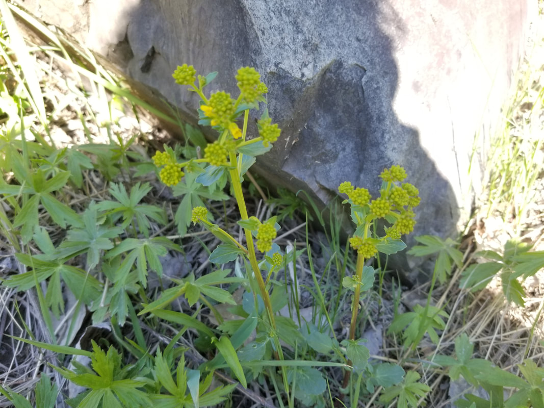
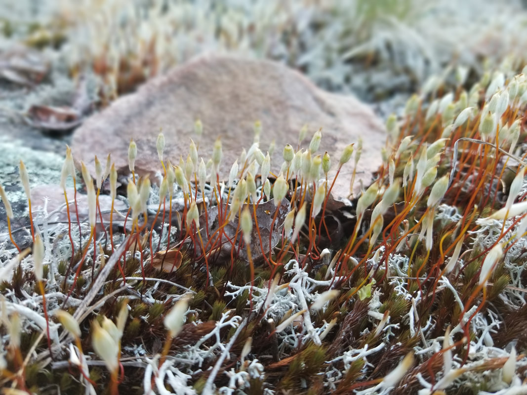
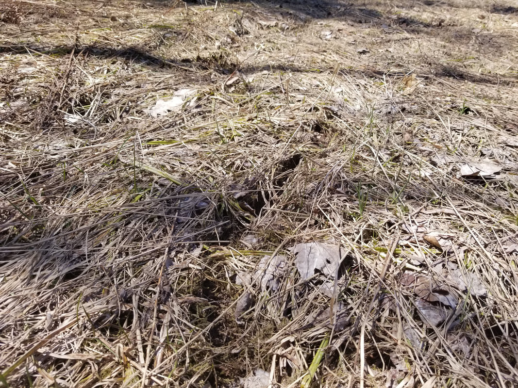
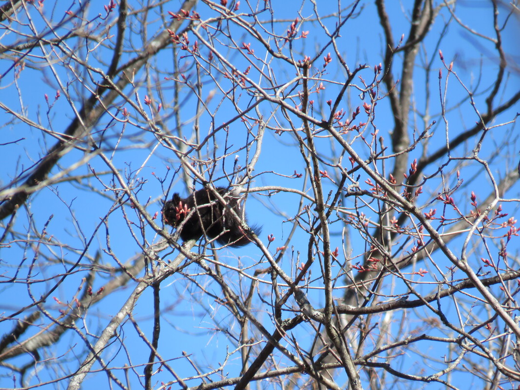
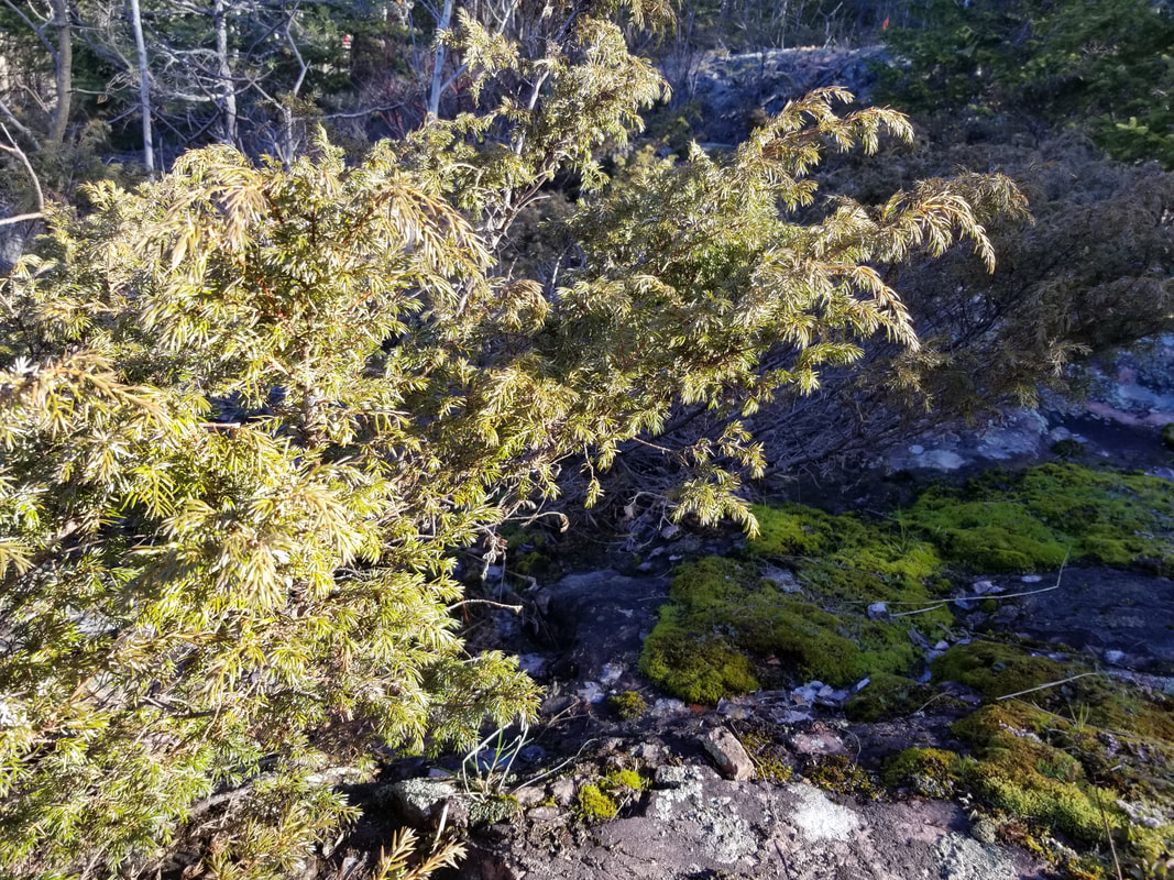
To no surprise, Red Squirrels were abundant on the property. While I wasn't able to capture any photos of the squirrels themselves, I did see evidence of their feeding sites all over.
Picture
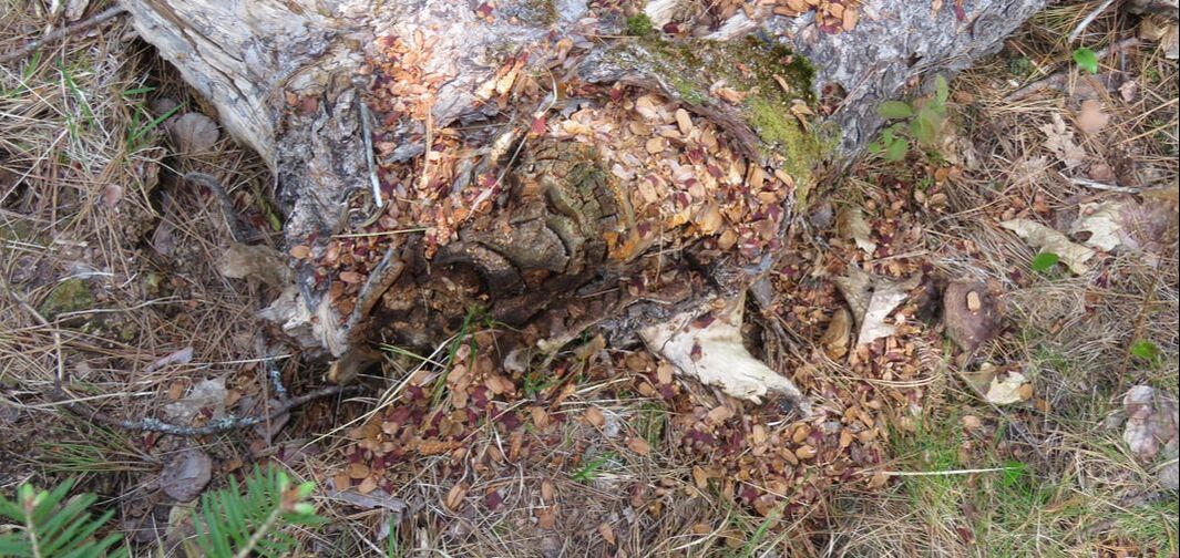
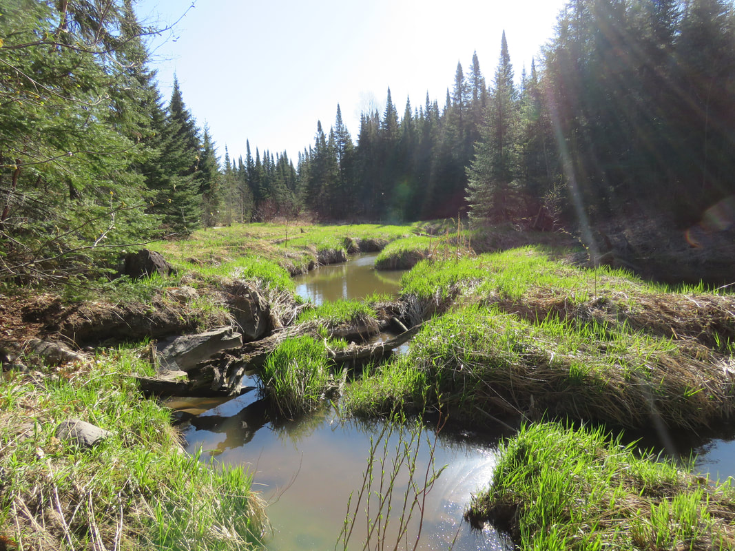
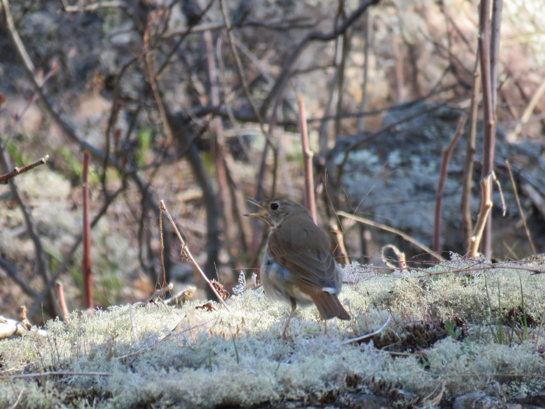
This small creek flows south from TKC's Ripple Rock Preserve, whose wetland is also part of the Kensington Complex. The creek goes under Kensington Point Road and empties into Lake Huron. The first 35m or so of the creek on the east side of the road are within the boundaries of the Lang Family Preserve. Below is a Swamp Sparrow!
Picture
Picture
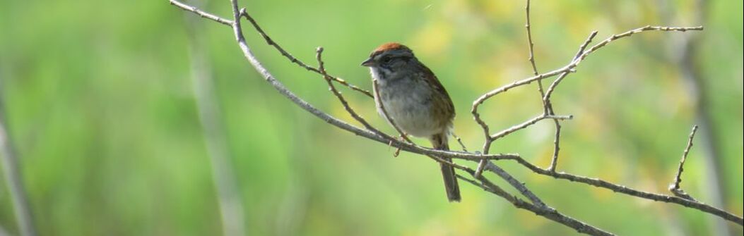
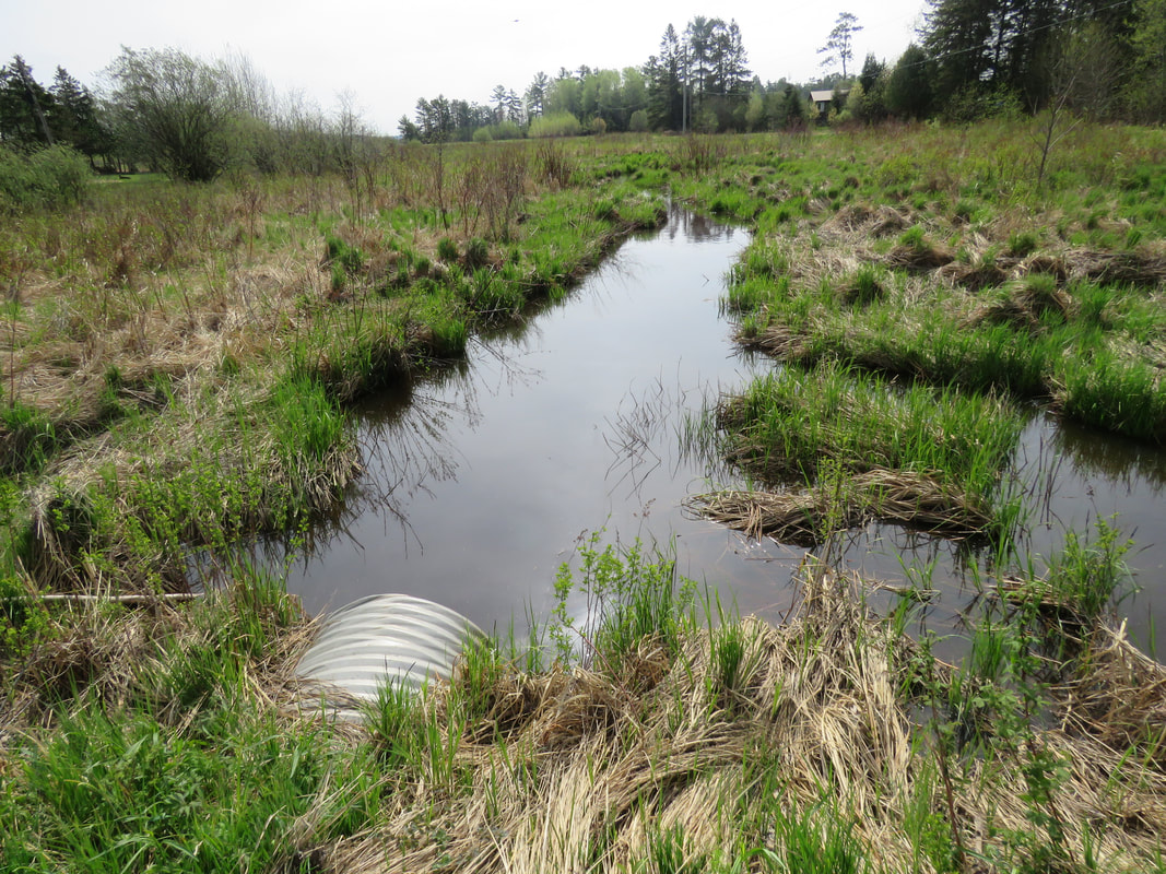
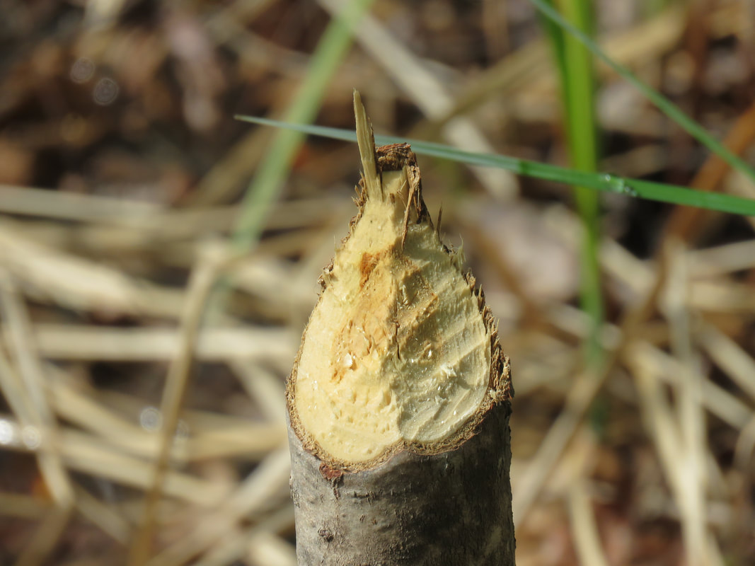
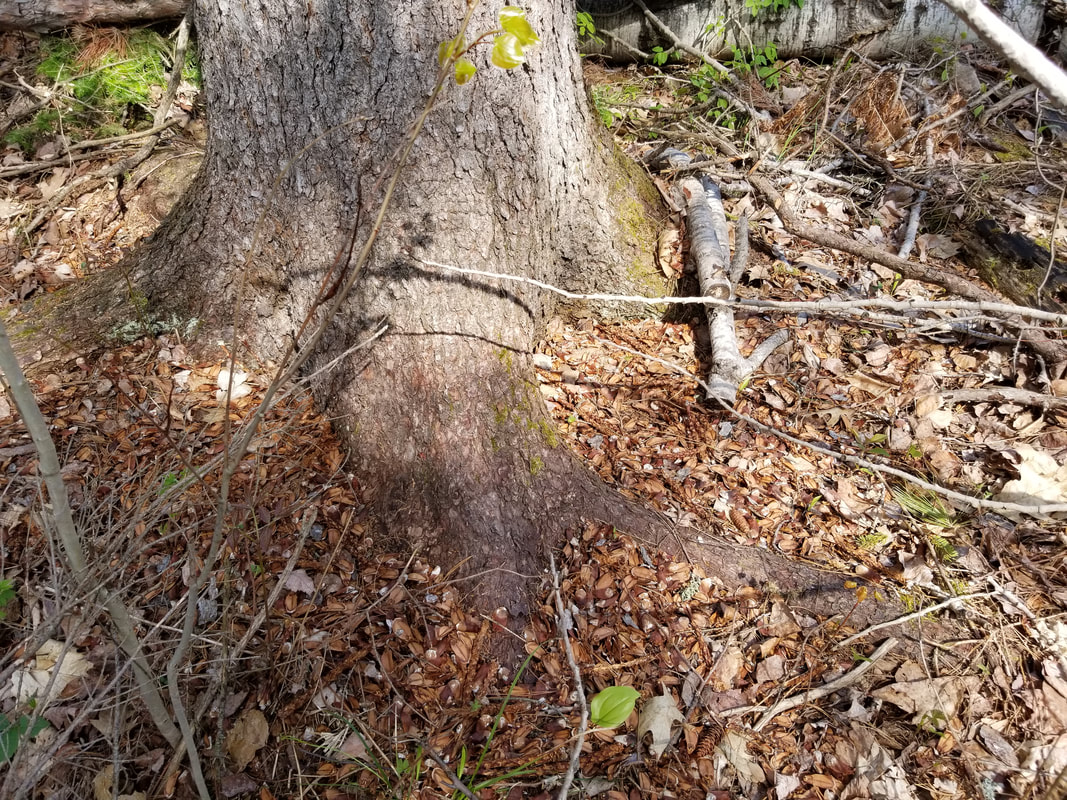
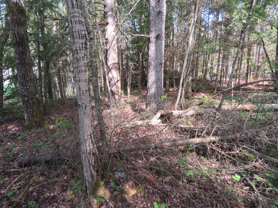
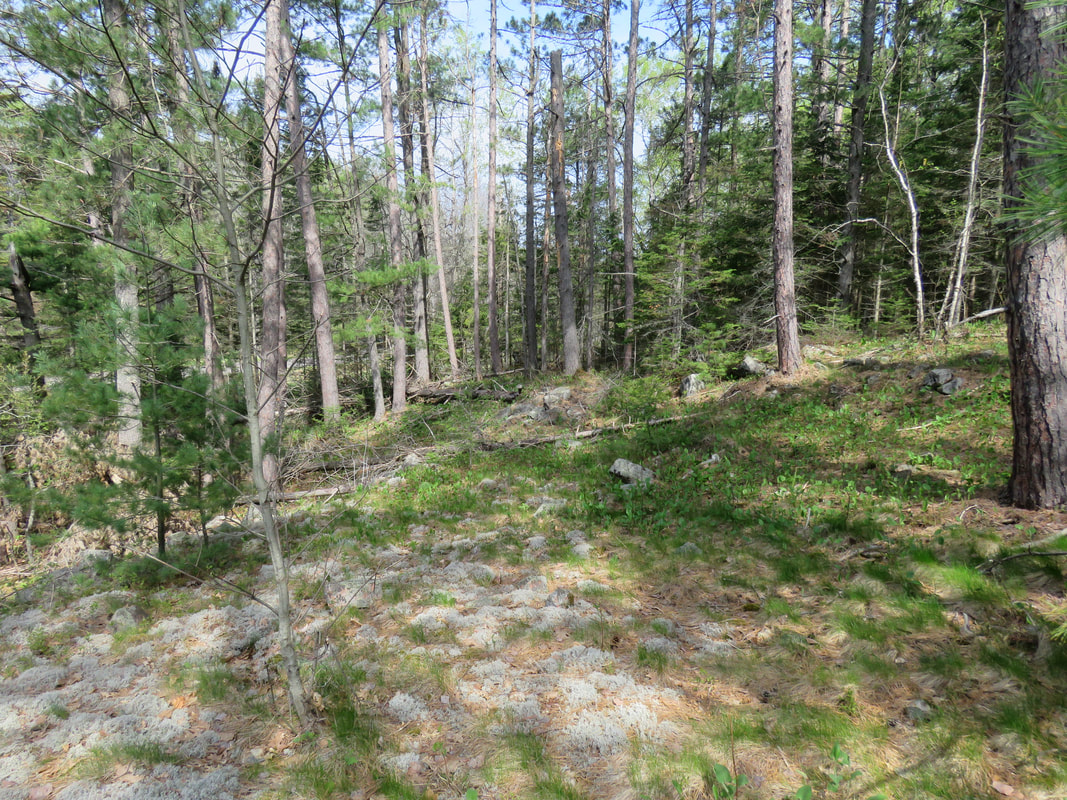
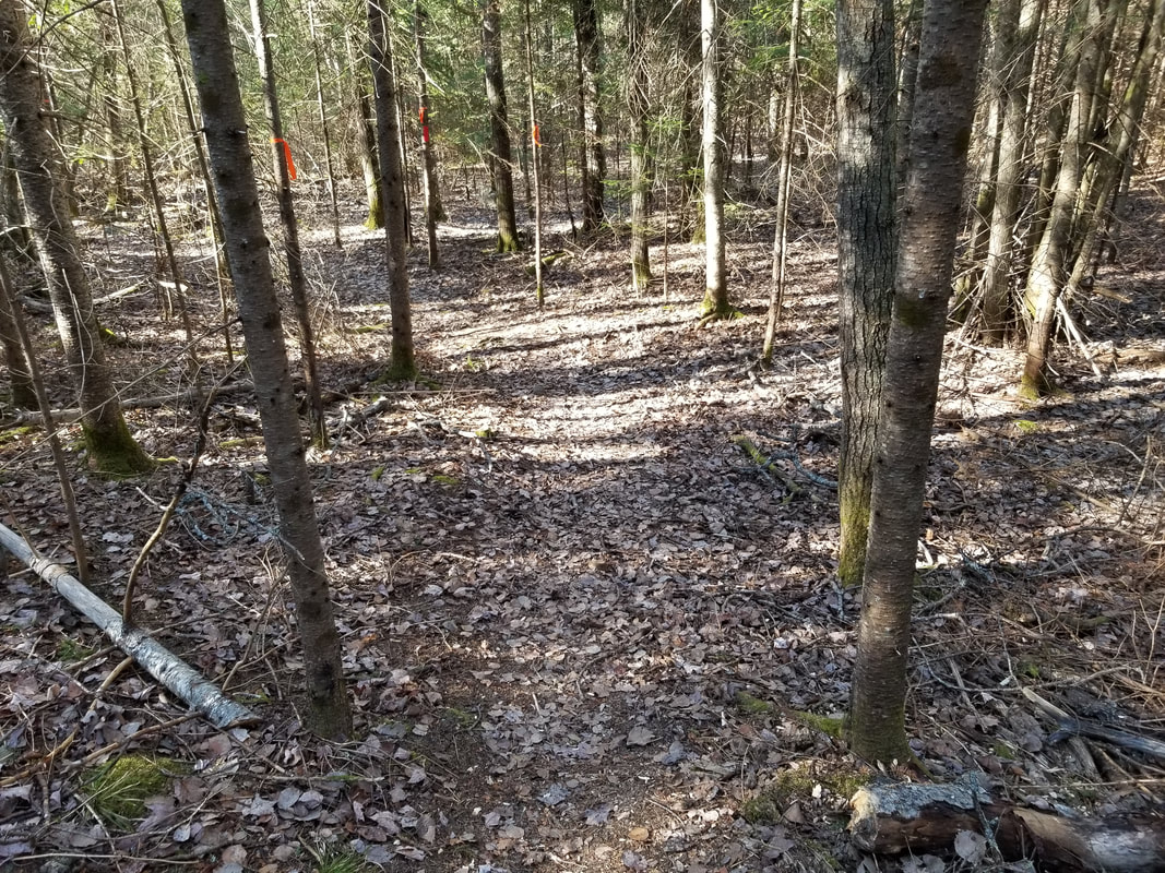
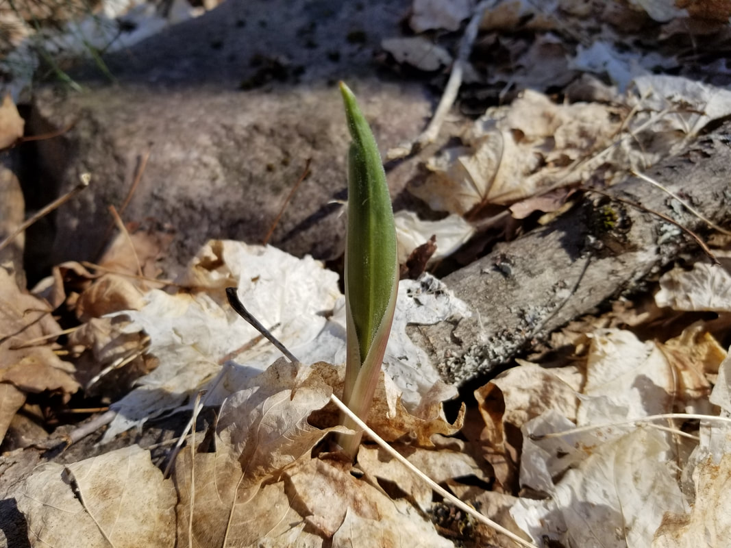
The southern section of the Lang Family Preserve is mostly a mixed forest and doesn't have much of the wetland on it.

I found some evidence of a mammal browsing on some small shrubs on the forest floor. Snowshoe Hare and White-tailed Deer are the two usual culprits of browsing like this. Since it's a very rough cut, it can be concluded that it was a White-tailed Deer. The sharp teeth of a Snowshoe Hare leave a really clean cut, like you would get if you used scissors!
Picture
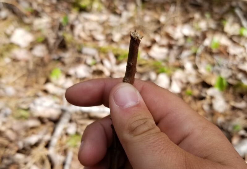
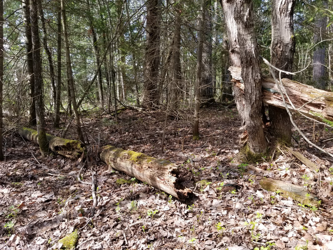
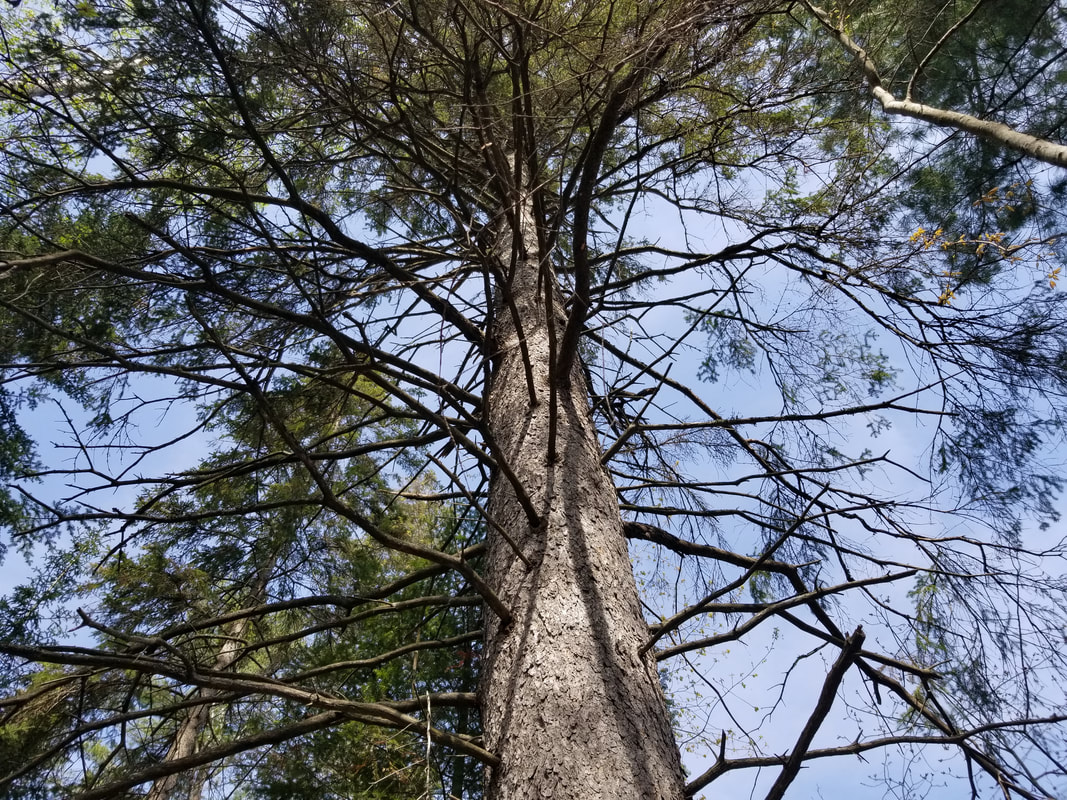
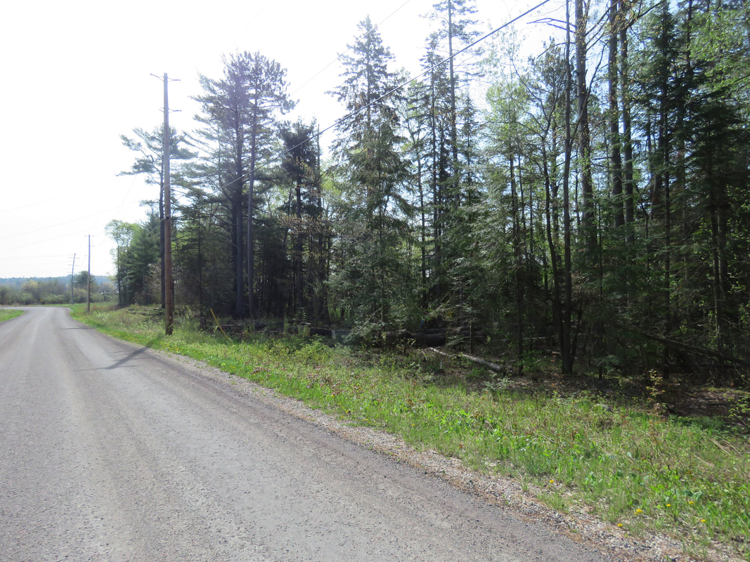
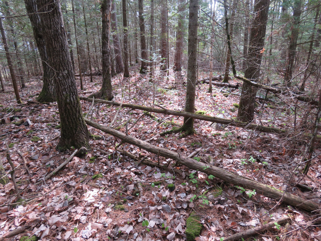
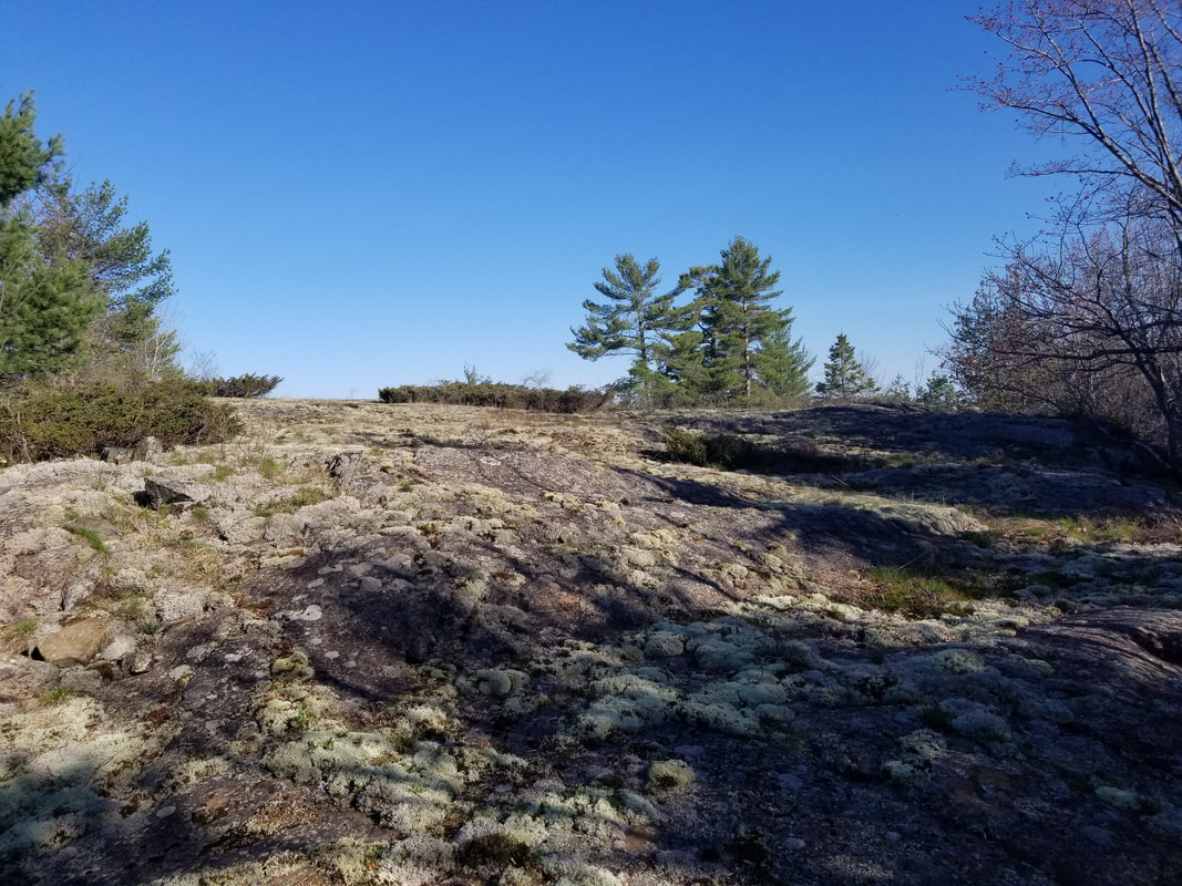
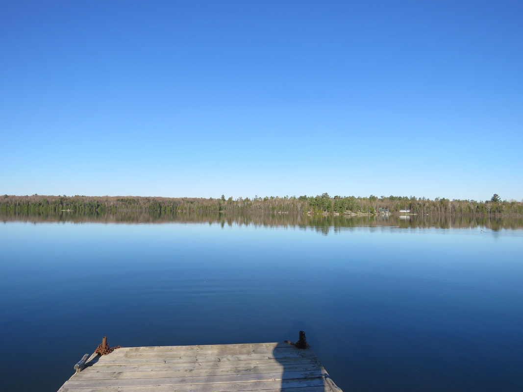
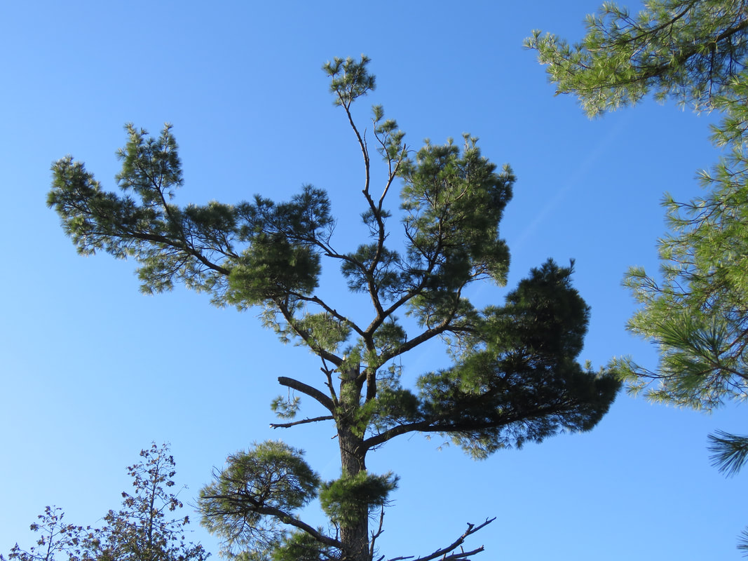
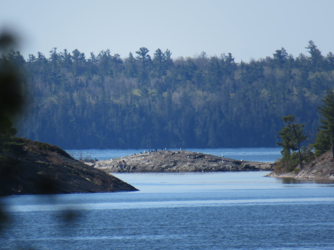
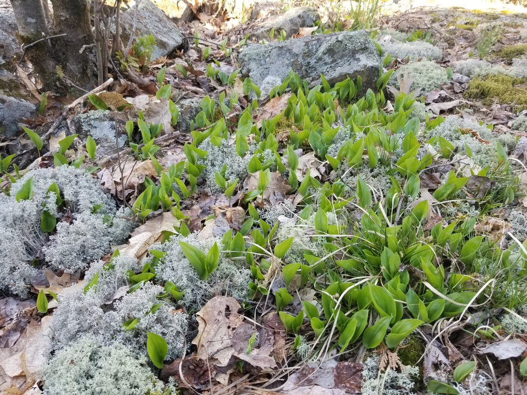
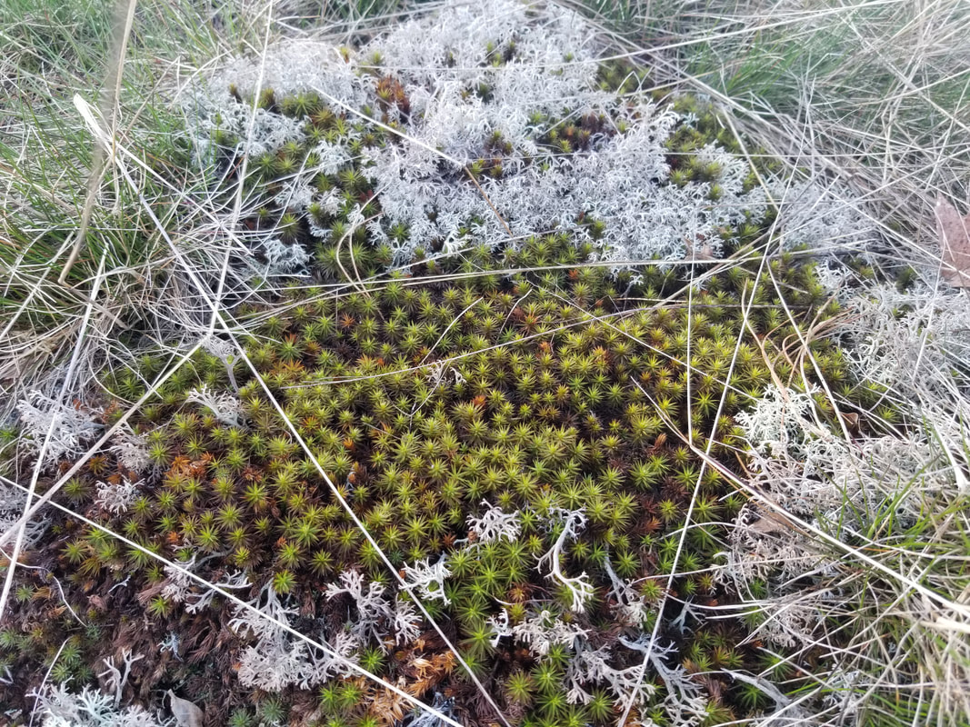
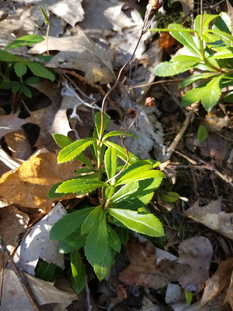
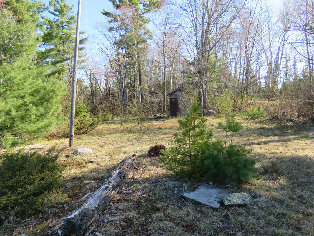
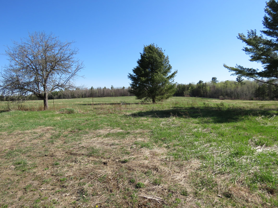
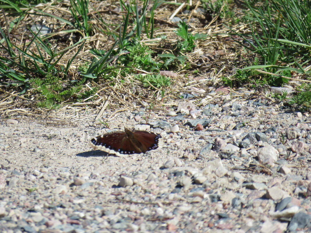
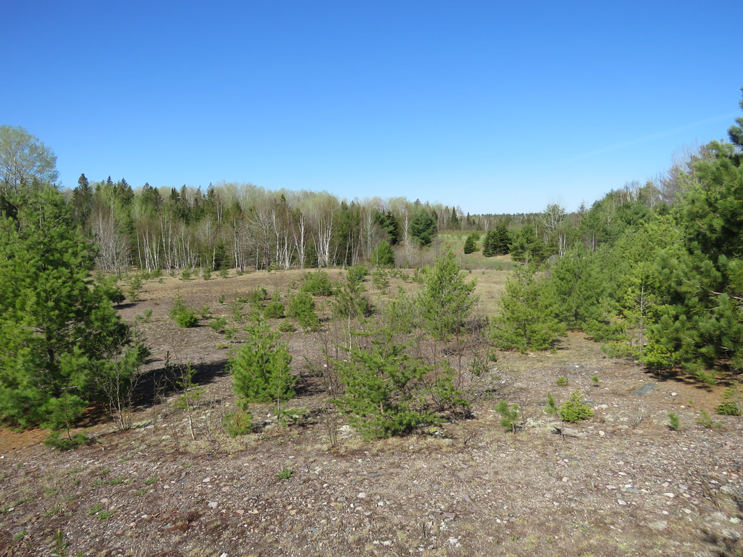
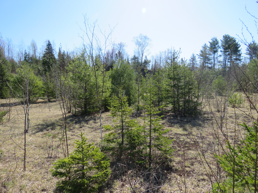
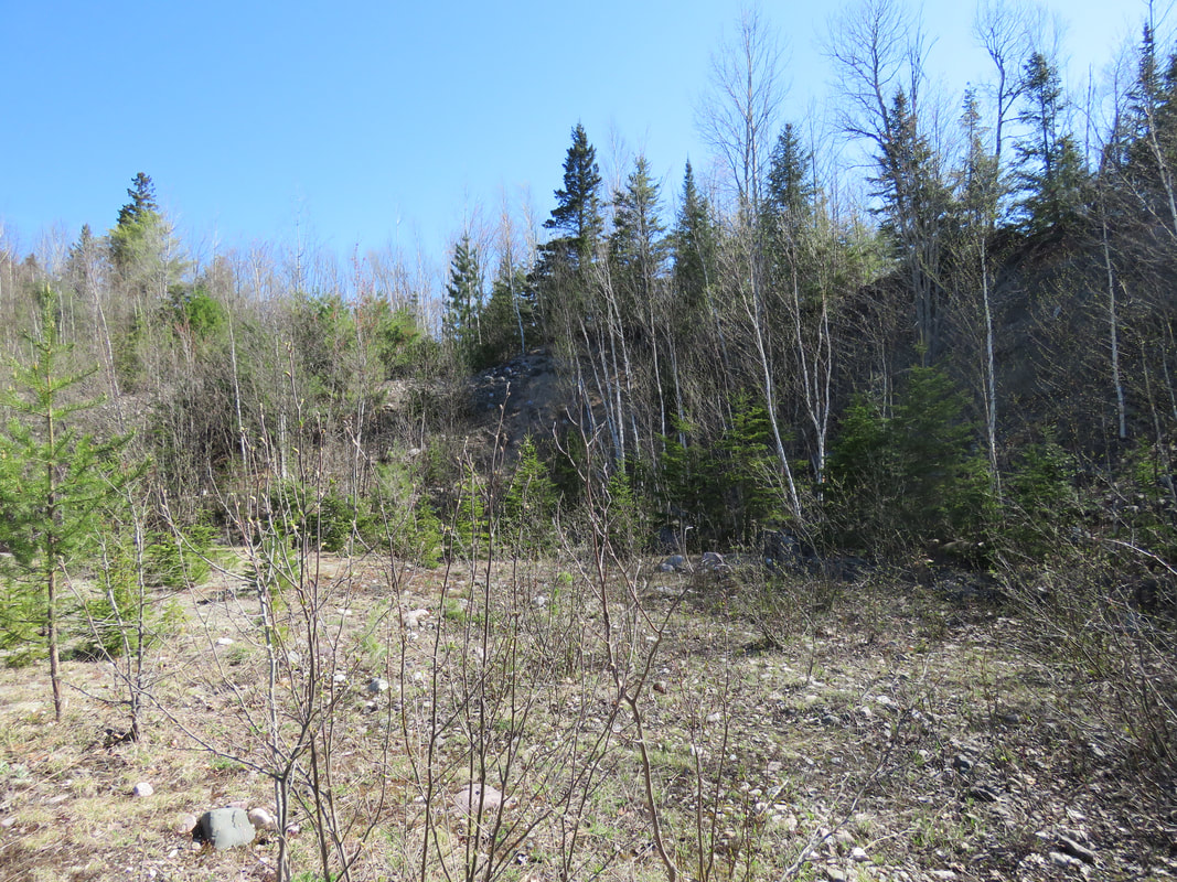
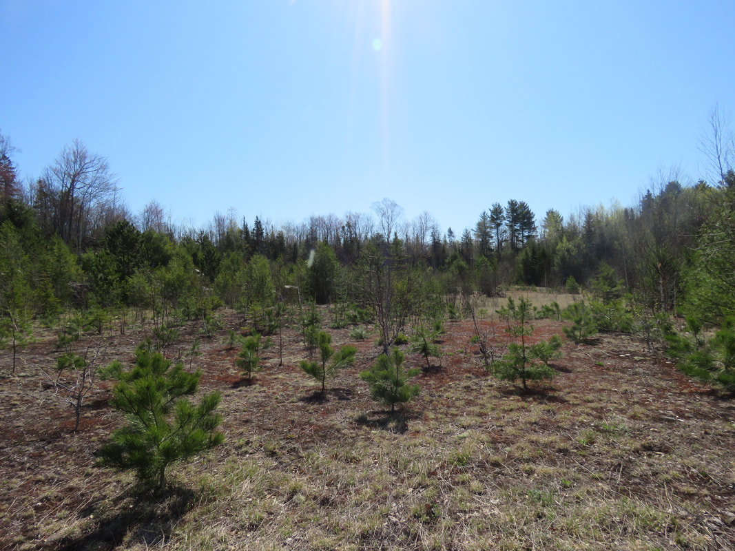
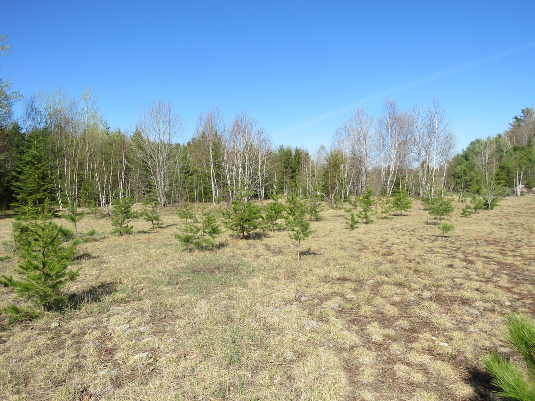
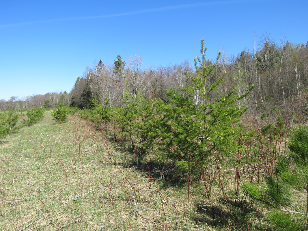
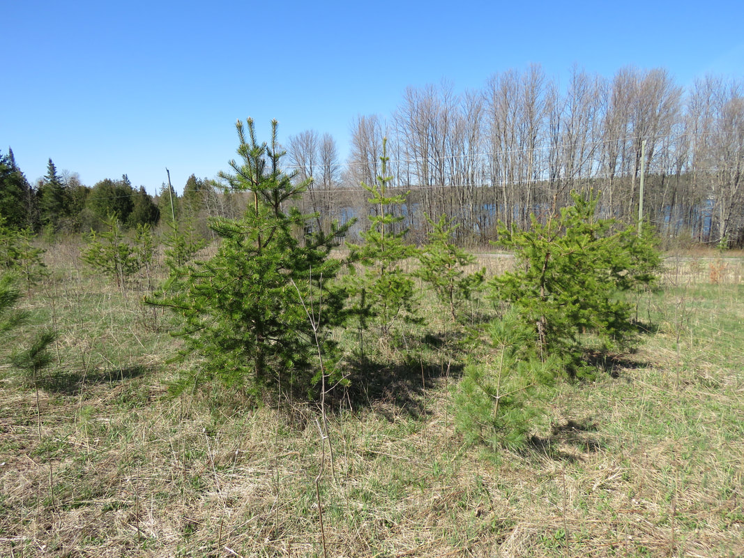
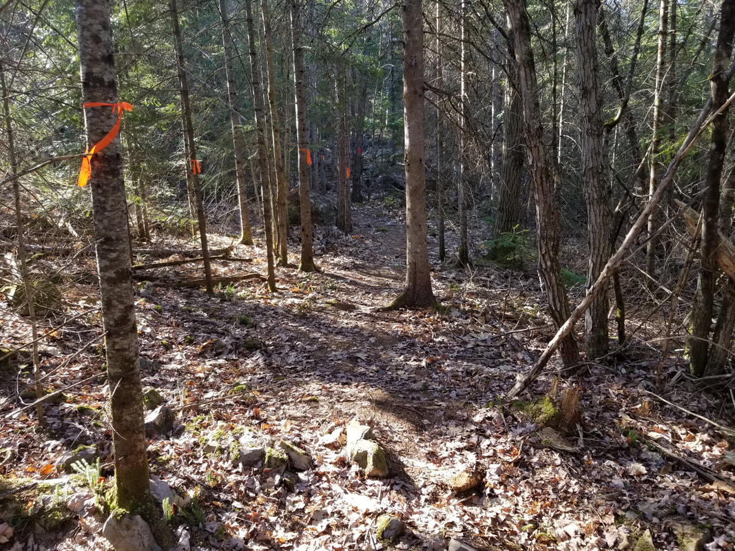
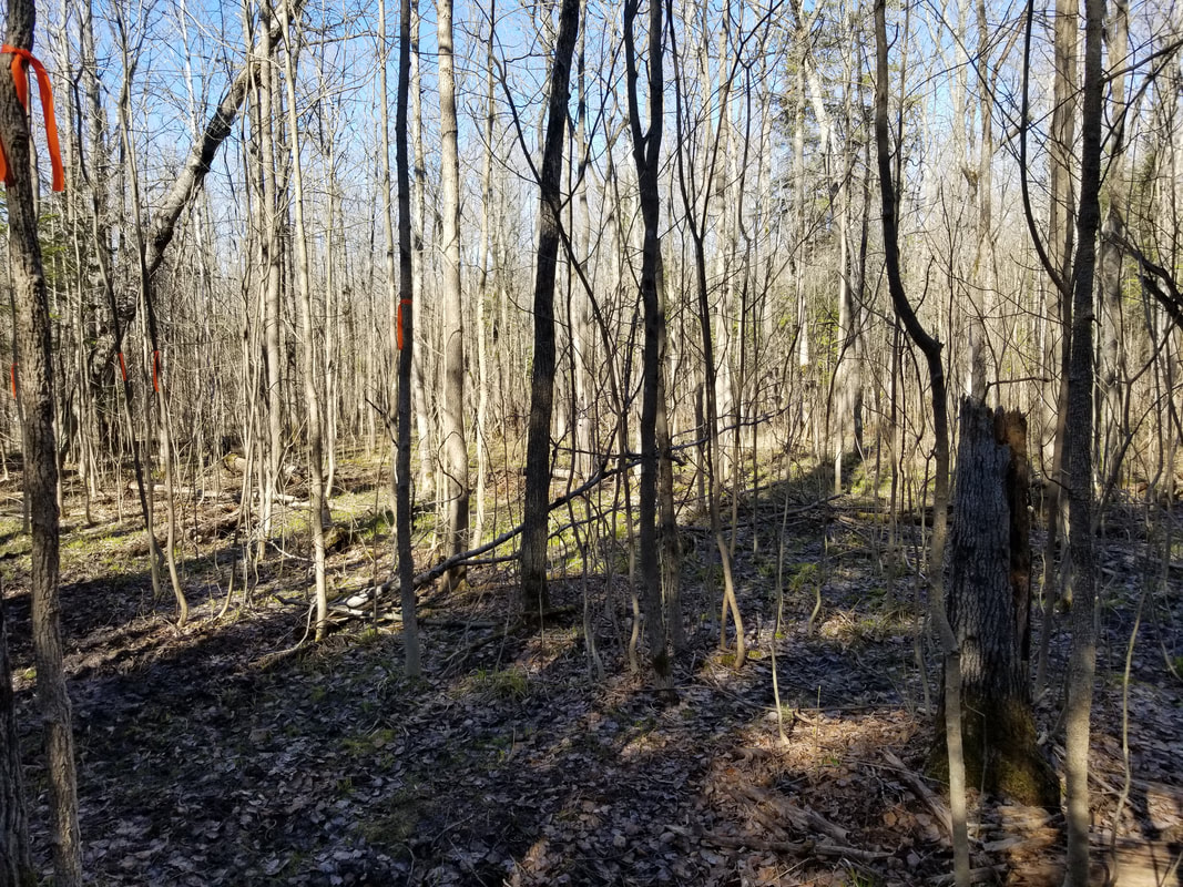
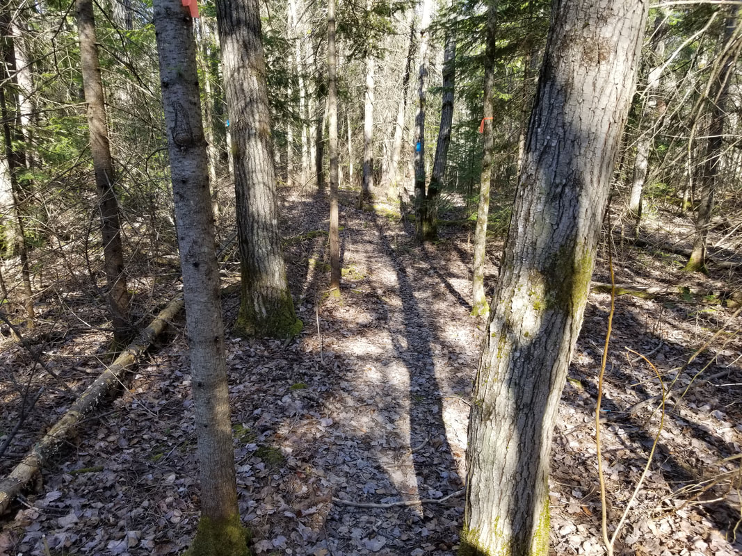
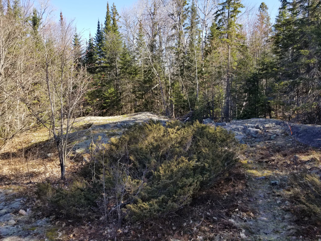
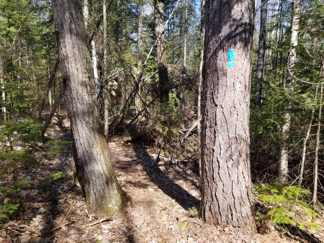
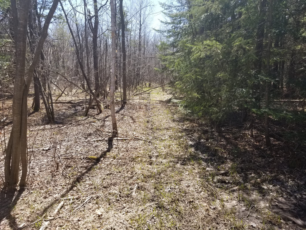
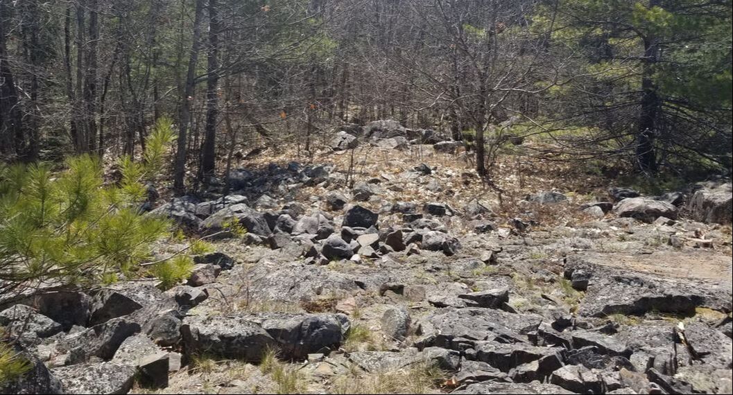
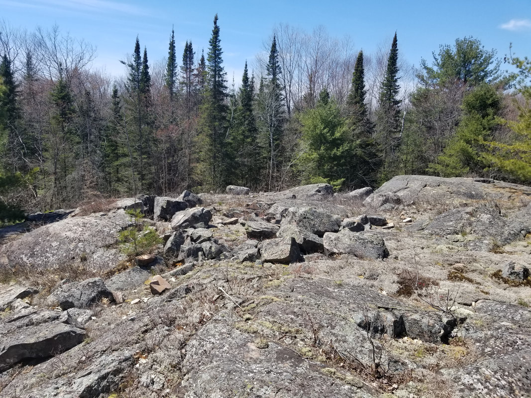
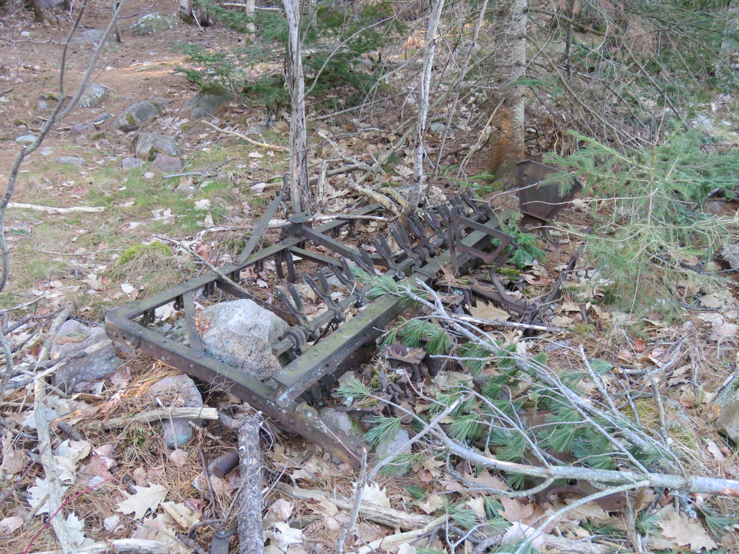
To wrap this tour up, here are just some general photos of the property that I took throughout my walk. Thanks for reading and stay tuned for next week's tour!
2 Comments

Virtual Tour: Archibald Homestead

21/5/2020

2 Comments

 
The Archibald Homestead is about 170 acres, consisting of fields, forest, and rocky shoreline. Historically, this was an operational farm, but in recent years, farming had stopped and TKC started to become concerned with the ecological health of the property. The opportunity arose for TKC to purchase the property to protect it in perpetuity, which we did. 

When TKC acquired the property, we conducted thousands and thousands of dollars worth of environmental cleanup, removing old buildings, trailers, tires, barrels, and other items that were having a negative impact on the property. 

In the fields, we planted over 20,000 of trees in an attempt to turn them back into forests. The trees are coming up very well. In a few spots, the trees are actually taller than me now! There are some photos of these trees further down this post. We also have a Managed Forest Plan on the property. I'm definitely looking forward to seeing what the fields look like 20 years from now. I'm sure it'll look very different that it does now.
Picture
Rock Polypody, a species of fern that's commonly found growing in rocky areas
Picture
I started off my tour by exploring the shoreline south of the parking lot. With the calm water, clear skies, and beautiful scenery, I couldn't help but take a variety of scenic photos. This area is known as the Portlock Harbour. Just to the west of this property are Portlock Island and Dawson Island, two large islands that are mostly Crown land, but also have cottages on them.
As I was exploring the shoreline, I saw a female Yellow-rumped Warbler up in a pine tree. I got my binoculars on it and then noticed that it hopped into a nest! She sat there for a few seconds, but by the time I got my camera up, she flew off again. After examining my photo of the nest, it doesn't look like it's complete yet, so she's probably still busy working on it. I'll have to check this out again in a week or two to see how her progress is going. I did some research afterwards and they typically nest on a horizontal branch of a hemlock, spruce, pine, or cedar trees, so this location makes sense!
Picture
There were some birds out on the water as well. There were about a dozen Common Mergansers, a female is shown below. There were also some Canada Geese, Common Goldeneyes, Wood Ducks, and Double-crested Cormorants. I got a flight shot of one of the Wood Ducks as it flew by me. 
Picture
Picture
There wasn't a ton of plant variety yet, but there was definitely a little bit more than the last two weeks. In order below, we have Canada mayflower, an unknown species of haircap moss, yellow trout lily, bearberry, pipsissewa, and bitter wintercress. I'm guessing that my virtual tour for next week should have a few more flowers to show off!
I finally found some wildlife that wasn't a bird or a squirrel! There is a small creek that flows out into the Portlock Harbour and acts as the south end of the Archibald Homestead's boundary. As I approached the creek, I heard a splash into the water, and it sounded bigger than a splash that a frog would make. Luckily, the culprit stuck its head back up out of the water. It was a Painted Turtle!
Picture
Picture
At the very south end of the property, just above where the creek flows into the lake, there is a little open area that used to be used as a campsite. A small building still remains here. From this point, you can actually see right across to the Hilton Beach area on St. Joseph Island!
Picture
Picture
From here, I retraced my steps back to the parking lot then down the road out towards the entrance to the property. I stopped to see how the site of the old farmhouse was doing. Below is the photo of what it currently looks like, followed by a photo of the old house from before it was torn down. As much as we would've liked to keep the house there, it had just become too much of a liability and would've cost too much money to restore.
Picture
Picture
With the warm and sunny weather, butterflies are out along the road here. I saw three of them, two Northern Spring Azures (first photo below) and a Mourning Cloak (second photo below). 
Picture
Picture
There's an small gravel pit on the property. This is where a lot of the cleanup efforts were concentrated, as there was a lot of garbage dumped in the pit. After is was all removed, trees were planted. After each year that goes by, it's less and less obvious that this used to be a gravel pit!
On the edge of the gravel pit is a low area that gets a lot of water if we get a wet spring. A pair of Mallards flew out of it as I approached it. I looked around it to see if I could find any frogs, or maybe another turtle, but no such luck. 
Picture
Picture
Here are two photos of the trees coming up in one of the fields.
Picture
Picture
My visit to the Archibald Homestead finished with a Sandhill Crane flying over my head. Throughout the morning, I managed to record over 60 species of birds on the property. Most of them were singing away! I'm glad that this significant piece of property is protected so that all the wildlife species can thrive on it. 

​


Picture
2 Comments

Virtual Tour: Boyer Preserve

14/5/2020

4 Comments

 
Welcome to my second virtual tour of the year, the Boyer Preserve! This 93-acre property was purchased by TKC in late 2016. It was named after the Boyer family who had previously owned it. The property has a variety of habitat types, including open meadow, diverse forest, and wetland. When combined with the adjacent Foster Parkland and Walking Trails property, we have protected 133 acres at this location to help the plants and wildlife thrive. Some of the "cooler" species we've seen here are Moose, Black Bear, Barred Owl, Short-tailed Weasel, and Red Fox!
Picture
Picture
This preserve is also home to The Kensington Conservation Centre, which is the home base for TKC. After working out of an office trailer for 10+ years, staff moved into this building in late 2017. We use the conservation centre for our day-to-day operations, but also use it to host a lot of community events. Feel free to drop by whenever you want during regular working hours to say hi and check the place out. Of course though, not until the pandemic is over and it is safe to do so, as staff are still working from home right now.
I spent a majority of my time on the portion of the Foster Parkland and Walking Trails that are on the Boyer Preserve. Volunteer Dave Moule spent two summers expanding the trails from the original 0.9km worth on the Foster Parkland and Walking Trails property (see my tour of it from last week here) to 3.5km worth acorss both properties, which we are very thankful for! The trails now get a ton of use year-round and folks are always telling me how much they enjoy them. 
Picture
While it had been a week since I was last on the trails, it was a very cold week, so there was not much of a change at all in the variety of plants that were to be found. The first interesting thing I came across was this moss. While I definitely recognized it, I had never taken the time to actually identify it. So I took some photos and uploaded them to iNaturalist. While I haven't received confirmation yet, I'm pretty sure it's called bristly haircup moss.  
Here is a collection of photos that I took along the trails to give you a sense of what they are like. There are a bunch of rocky areas, so you have to make sure to watch your step as you go.
The shoreline of the Boyer Preserve is classified as Provincially Significant Wetland as part of the larger wetland complex called the Kensington Complex. It's great that we're protecting this important wildlife habitat! As you can see from the two photos below, there is a lot of beaver activity in the area. 
Picture
Picture
It's also crazy to see how high the water levels are this year. At one point along the trails, you're walking right along side the water. Any higher and the trails are going to be under water! This poor tree is surrounded by water now. 
Picture
Picture
One thing that you'll have to watch out for in this area is some poison ivy along this section of the trail. As long you're wearing closed shoes and long pants, you should have nothing to worry about, there isn't a ton of it. We have some signs up on how to identify it. If you aren't familiar with poison ivy, this would be a great opportunity to learn so that you know what to look for in locations that don't warn you about it!
Picture
At the south end of the trails is a scenic lookout out over the water. The small bay here is actually designated as a waterfowl staging area by the Ministry of Natural Resources and Forestry and there sure were some staging waterfowl species. There was 163 Greater Scaup, 18 Lesser Scaup, 22 Ring-necked Duck, 30 Bufflehead, 3 Hooded Merganser, 6 Mallard, 1 Green-winged Teal, and a Canada Goose family! Most waterfowl species have actually moved through already, so these numbers are much lower than they would have been back in April. I remember in past years seeing well over 1000 ducks in this area.
Picture
Picture
Picture
I think the scenic view from here deserves a large photo!
Picture
From here, you head straight up a rocky hill to also overlook the water. I'll also leave this photo large!
Picture
Picture
Picture
After finishing the hiking trails and taking a lunch break, I ventured in to other portions of the Boyer Preserve that the trails don't cover. The meadow was relatively dry, allowing me to walk through it. It won't be long until the meadow is full of butterflies, dragonflies, bumblebees, and other interesting insects! At the south end of the meadow, there was evidence of some sort of rodent who had gone by.
Picture
Picture
There is an old ATV trail that runs from the south end of the meadow into the forest. Despite there being no ATV use here since at least 2016 when we acquired the property, the trail is still very noticeable. This goes to show what kind of ecological damage ATVs can cause on the environment, which is why we don't allow their use on our preserves. A single trail likely isn't the worst thing to happen, but extensive use over a wide area could be very damaging, depending on the habitat.
Picture
There are some more rocky outcrops in this area of the property. I love spots like this, they just seem so peaceful.
Picture
Picture
Here are some more photos from my day. In order, we have the trail map sign, an old piece of farming equipment, a Red Squirrel, a Hermit Thrush, a Herring Gull, an Osprey (look hard, it's there!), an Eastern Grey Squirrel, a Blue-headed Vireo, and some common juniper.
Thanks again for reading my virtual tour. If you have any questions about the Boyer Preserve, do not hesitate to contact me at carterdorscht.tkc@gmail.com or 705-257-5199. Stay tuned for next week's tour!
Picture
4 Comments
<<Previous

    Stories from the Field

    Read about the field work going on at The Kensington Conservancy!

    Archives

    December 2022
    August 2022
    August 2021
    December 2020
    July 2020
    June 2020
    May 2020
    April 2020
    September 2018
    February 2018
    May 2017
    October 2016
    September 2016
    August 2016

    Categories

    All

    RSS Feed

    Follow the Blog
Website by The Kensington Conservancy
Home - Land Protection - Membership & Giving - Get Involved - News & Media - About & Contact